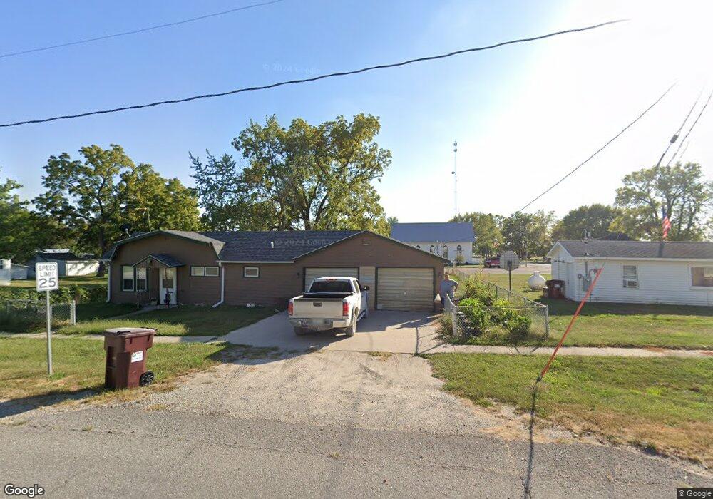
102 E Main St Kirkville, IA 52566
Estimated Value: $51,000 - $262,000
2
Beds
1
Bath
940
Sq Ft
$115/Sq Ft
Est. Value
About This Home
This home is located at 102 E Main St, Kirkville, IA 52566 and is currently estimated at $108,314, approximately $115 per square foot. 102 E Main St is a home located in Wapello County with nearby schools including Eddyville-Blakesburg- Fremont Junior/Senior High School.
Ownership History
Date
Name
Owned For
Owner Type
Purchase Details
Closed on
Aug 19, 2025
Sold by
Johnston Kayleen and Dewitt Kayleen A
Bought by
Johnston Wayne
Current Estimated Value
Purchase Details
Closed on
Aug 30, 2019
Sold by
Williams Nathaniel S and Williams Ashley L
Bought by
Johnson Kayleen
Home Financials for this Owner
Home Financials are based on the most recent Mortgage that was taken out on this home.
Original Mortgage
$22,400
Interest Rate
3.7%
Mortgage Type
New Conventional
Purchase Details
Closed on
Sep 18, 2009
Sold by
Hartog Leaster Den and Hartog Katherine S Den
Bought by
Williams Nathaniel S
Home Financials for this Owner
Home Financials are based on the most recent Mortgage that was taken out on this home.
Original Mortgage
$22,448
Interest Rate
5.38%
Mortgage Type
New Conventional
Create a Home Valuation Report for This Property
The Home Valuation Report is an in-depth analysis detailing your home's value as well as a comparison with similar homes in the area
Home Values in the Area
Average Home Value in this Area
Purchase History
| Date | Buyer | Sale Price | Title Company |
|---|---|---|---|
| Johnston Wayne | $20,000 | None Listed On Document | |
| Johnson Kayleen | $28,000 | -- | |
| Williams Nathaniel S | -- | None Available |
Source: Public Records
Mortgage History
| Date | Status | Borrower | Loan Amount |
|---|---|---|---|
| Previous Owner | Johnson Kayleen | $22,400 | |
| Previous Owner | Williams Nathaniel S | $22,448 |
Source: Public Records
Tax History Compared to Growth
Tax History
| Year | Tax Paid | Tax Assessment Tax Assessment Total Assessment is a certain percentage of the fair market value that is determined by local assessors to be the total taxable value of land and additions on the property. | Land | Improvement |
|---|---|---|---|---|
| 2025 | $306 | $35,500 | $3,170 | $32,330 |
| 2024 | $306 | $32,220 | $3,170 | $29,050 |
| 2023 | $274 | $32,220 | $3,170 | $29,050 |
| 2022 | $242 | $27,350 | $3,170 | $24,180 |
| 2021 | $375 | $23,580 | $3,170 | $20,410 |
| 2020 | $222 | $21,430 | $3,170 | $18,260 |
| 2019 | $228 | $21,430 | $0 | $0 |
| 2018 | $222 | $21,430 | $0 | $0 |
| 2017 | $222 | $21,430 | $0 | $0 |
| 2016 | $374 | $30,226 | $0 | $0 |
| 2015 | $376 | $30,226 | $0 | $0 |
| 2014 | $366 | $30,226 | $0 | $0 |
Source: Public Records
Map
Nearby Homes
- 0 150th Unit 6314578
- 18781 125 St
- 18781 125th St
- 34 Pinehurst Cir
- 32 Pinehurst Cir
- 107 Sunflower Dr
- 104 Lowell Dr
- 324 N Harrison St
- 301 N 9th St
- 000000 Whiskey Ridge
- 20462
- 21065 Whiskey Ridge
- 20462 Co Hwy H27
- 0 Whiskey Ridge Rd Unit NOC6326284
- 11995 Rutledge Rd
- 627 Edwards Dr
- 74 Schwartz Dr
- 10 Bell Dr
- 11652 Rutledge Rd
- 2620 Marilyn Rd