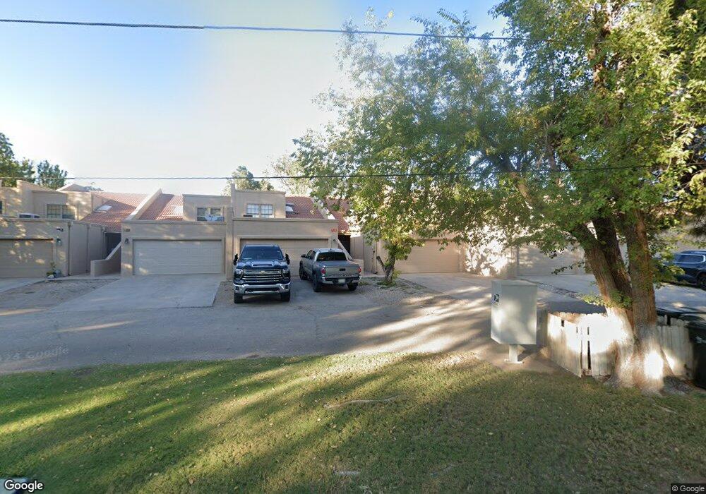
102 E Riverside Dr Carlsbad, NM 88220
Estimated Value: $310,000 - $361,000
Studio
--
Bath
1,946
Sq Ft
$172/Sq Ft
Est. Value
About This Home
This home is located at 102 E Riverside Dr, Carlsbad, NM 88220 and is currently estimated at $333,839, approximately $171 per square foot. 102 E Riverside Dr is a home located in Eddy County with nearby schools including Sunset Elementary School, Carlsbad Intermediate School - PR Leyva Campus, and Carlsbad High School.
Ownership History
Date
Name
Owned For
Owner Type
Purchase Details
Closed on
Nov 19, 2025
Sold by
Williams Danny C
Bought by
Williams Danny C and Shannon Capucine Delmar
Current Estimated Value
Purchase Details
Closed on
Feb 22, 2024
Sold by
Wilson Harold Craig and Wilson Sharon Kay
Bought by
Williams Danny C
Home Financials for this Owner
Home Financials are based on the most recent Mortgage that was taken out on this home.
Original Mortgage
$268,000
Interest Rate
6.6%
Mortgage Type
Construction
Purchase Details
Closed on
Aug 25, 2018
Sold by
Mattison Larry D and Owen Kay C
Bought by
Wilson H Craig and Wilson Sharon Kay
Home Financials for this Owner
Home Financials are based on the most recent Mortgage that was taken out on this home.
Original Mortgage
$159,600
Interest Rate
4.5%
Mortgage Type
New Conventional
Purchase Details
Closed on
Feb 22, 2008
Sold by
Mattison Larry D and Owen Kay C
Bought by
Mattison Larry D and Owen Kay C
Create a Home Valuation Report for This Property
The Home Valuation Report is an in-depth analysis detailing your home's value as well as a comparison with similar homes in the area
Purchase History
| Date | Buyer | Sale Price | Title Company |
|---|---|---|---|
| Williams Danny C | -- | None Listed On Document | |
| Williams Danny C | -- | Pioneer Title | |
| Wilson H Craig | -- | Guarantytitle Company | |
| Mattison Larry D | -- | None Available |
Source: Public Records
Mortgage History
| Date | Status | Borrower | Loan Amount |
|---|---|---|---|
| Previous Owner | Williams Danny C | $268,000 | |
| Previous Owner | Wilson H Craig | $159,600 |
Source: Public Records
Tax History
| Year | Tax Paid | Tax Assessment Tax Assessment Total Assessment is a certain percentage of the fair market value that is determined by local assessors to be the total taxable value of land and additions on the property. | Land | Improvement |
|---|---|---|---|---|
| 2025 | $2,620 | $106,599 | $8,013 | $98,586 |
| 2024 | $1,870 | $75,198 | $8,013 | $67,185 |
| 2023 | $1,870 | $75,198 | $8,013 | $67,185 |
| 2022 | $1,806 | $73,170 | $8,013 | $65,157 |
| 2021 | $1,746 | $71,039 | $8,013 | $63,026 |
| 2020 | $1,715 | $68,970 | $8,013 | $60,957 |
| 2019 | $1,701 | $66,961 | $8,013 | $58,948 |
| 2018 | $1,341 | $53,051 | $8,013 | $45,038 |
| 2017 | $1,298 | $51,714 | $8,253 | $43,461 |
| 2015 | $1,314 | $0 | $0 | $0 |
| 2014 | $1,157 | $0 | $0 | $0 |
Source: Public Records
Map
Nearby Homes
- 1105 N Main St
- 1031 N Francis St
- 1118 Tracy Place
- 302 Glendale St
- 406 Glendale St
- 612 Lakeside Dr
- 1516 Farrell Dr
- 402 Rosedale St
- 1531 La Vina Ct
- 1020 N Mesa St
- 710 Pratt St
- 904 W Riverside Dr
- 1034 N Edwards St
- 1412 Doepp Dr
- 1601 N Canal St
- 1114 W Thomas St
- 1116 W Thomas St
- 1030 N Thomas St
- W of 1700 W Riverside Dr
- 809 Colonial Ct
- 102 E Riverside Dr Unit 102 1/2 EAST RIVERSI
- 102 E Riverside Dr
- 102 E Riverside Dr
- 102 E Riverside Dr
- 102 E Riverside Dr
- 102 E Riverside Dr
- 102 E Riverside Dr
- 102 E Riverside Dr
- 102 E Riverside Dr
- 102 E Riverside Unit Dr E
- 102 E Riverside Dr Unit A
- 102 E Riverside Dr Unit E
- 102 E Riverside Unit G Dr
- 102 & 102 1/2 W Riverside Dr
- 102 W Riverside Dr
- 101 W Riverside Dr
- 101 E Riverside Dr
- 103 E Riverside Dr
- 105 E Riverside Dr
- 104 W Riverside Dr
Your Personal Tour Guide
Ask me questions while you tour the home.