Estimated Value: $444,960 - $654,000
3
Beds
2
Baths
1,500
Sq Ft
$338/Sq Ft
Est. Value
About This Home
This home is located at 102 East Rd, Weare, NH 03281 and is currently estimated at $507,490, approximately $338 per square foot. 102 East Rd is a home located in Hillsborough County with nearby schools including Center Woods Elementary School, Weare Middle School, and John Stark Regional High School.
Ownership History
Date
Name
Owned For
Owner Type
Purchase Details
Closed on
Apr 5, 2012
Sold by
Bolton Francis A
Bought by
Stgermain Kevin and Pepper Stacy
Current Estimated Value
Purchase Details
Closed on
Feb 8, 2010
Sold by
Moody John
Bought by
Magoon Randy D and Magoon Nicole L
Home Financials for this Owner
Home Financials are based on the most recent Mortgage that was taken out on this home.
Original Mortgage
$266,220
Interest Rate
5.05%
Mortgage Type
Purchase Money Mortgage
Purchase Details
Closed on
Jun 26, 2009
Sold by
Fottler James T and Amis Mildred
Bought by
Moody John
Create a Home Valuation Report for This Property
The Home Valuation Report is an in-depth analysis detailing your home's value as well as a comparison with similar homes in the area
Home Values in the Area
Average Home Value in this Area
Purchase History
| Date | Buyer | Sale Price | Title Company |
|---|---|---|---|
| Stgermain Kevin | -- | -- | |
| Magoon Randy D | $261,000 | -- | |
| Moody John | $110,000 | -- |
Source: Public Records
Mortgage History
| Date | Status | Borrower | Loan Amount |
|---|---|---|---|
| Previous Owner | Moody John | $266,220 |
Source: Public Records
Tax History Compared to Growth
Tax History
| Year | Tax Paid | Tax Assessment Tax Assessment Total Assessment is a certain percentage of the fair market value that is determined by local assessors to be the total taxable value of land and additions on the property. | Land | Improvement |
|---|---|---|---|---|
| 2024 | $6,072 | $297,800 | $106,600 | $191,200 |
| 2023 | $5,614 | $298,000 | $106,600 | $191,400 |
| 2022 | $5,185 | $298,000 | $106,600 | $191,400 |
| 2021 | $5,126 | $298,000 | $106,600 | $191,400 |
| 2020 | $5,310 | $221,700 | $77,700 | $144,000 |
| 2019 | $5,257 | $221,700 | $77,700 | $144,000 |
| 2018 | $5,106 | $221,700 | $77,700 | $144,000 |
| 2016 | $4,870 | $217,700 | $77,700 | $140,000 |
| 2015 | $4,787 | $213,600 | $76,000 | $137,600 |
| 2014 | $4,744 | $213,600 | $76,000 | $137,600 |
| 2013 | $4,674 | $214,900 | $76,000 | $138,900 |
Source: Public Records
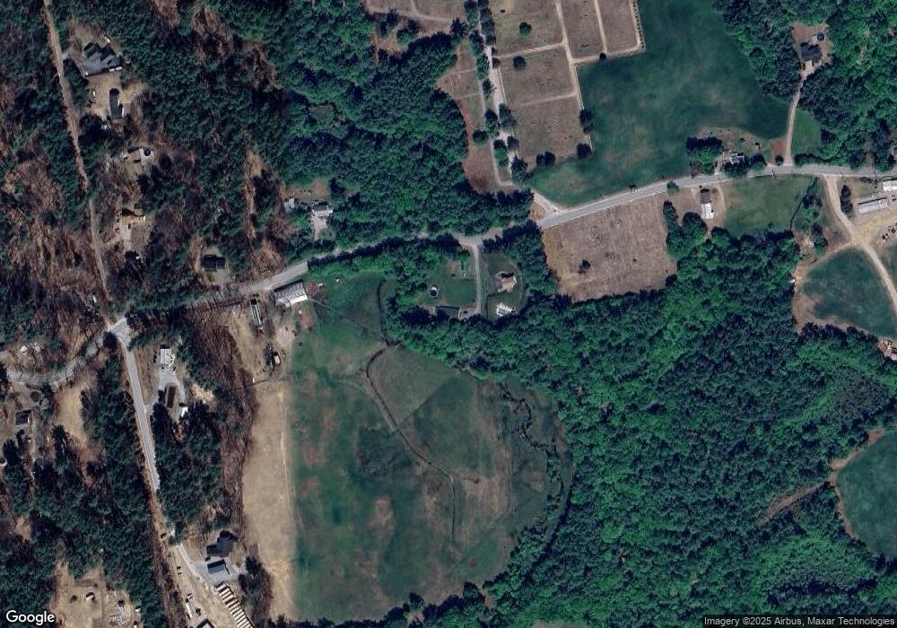
Map
Nearby Homes
- 10 Sap House Rd
- 233 N Stark Hwy
- 92 Woodbury Rd
- 0 Huntington Hill Rd Unit 69
- 281 Hodgdon Rd
- 849 River Rd
- 194 Buckley Rd Unit 2
- 194 Buckley Rd Unit 44
- 30 Dels Way
- 0 Als Dr Unit 196
- 101-125 Winslow Rd
- 108 E Shore Dr
- 57 Lyndsey Ln
- 196 Deering Center Rd
- 624 S Stark Hwy
- 107 Branch Rd
- 62 Collins Landing Rd Unit 46
- 103 Renshaw Rd
- 77 Gould Rd
- 40 N Woods Rd
- 104 East Rd
- 68 East Rd
- 31 Carding Mill Rd
- 69 East Rd
- 11 Carding Mill Rd
- 137 East Rd
- 14 Colburns Meadow Rd
- 18 Colburns Meadow Rd
- 41 Buzzell Hill Rd
- 28 Colburns Meadow Rd
- 145 East Rd
- 38 Buzzell Hill Rd
- 42 East Rd
- 34 Colburns Meadow Rd
- 39 East Rd
- 50 Buzzell Hill Rd
- 159 East Rd
- 62 Buzzell Hill Rd
- 25 East Rd
- 100 Colburns Meadow Rd