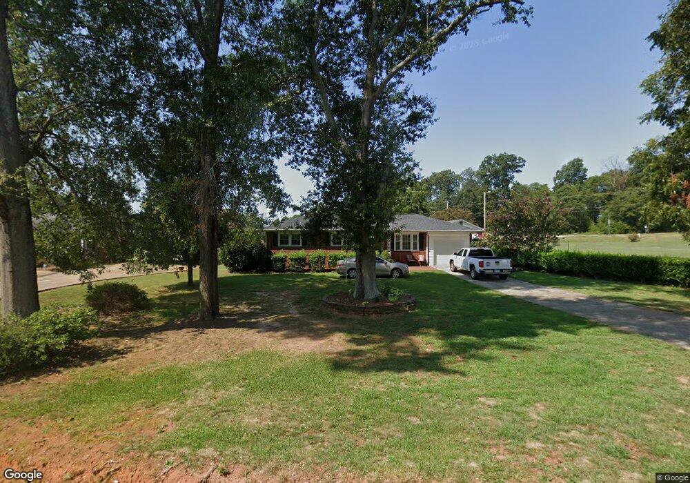
102 Edwards Dr Anderson, SC 29626
Estimated Value: $158,955 - $250,000
3
Beds
--
Bath
1,180
Sq Ft
$180/Sq Ft
Est. Value
About This Home
This home is located at 102 Edwards Dr, Anderson, SC 29626 and is currently estimated at $212,489, approximately $180 per square foot. 102 Edwards Dr is a home located in Anderson County with nearby schools including McLees Elementary School, Robert Anderson Middle School, and Westside High School.
Ownership History
Date
Name
Owned For
Owner Type
Purchase Details
Closed on
Jul 30, 1999
Sold by
Robinson Donna L
Bought by
Whitten Chris D
Current Estimated Value
Create a Home Valuation Report for This Property
The Home Valuation Report is an in-depth analysis detailing your home's value as well as a comparison with similar homes in the area
Home Values in the Area
Average Home Value in this Area
Purchase History
| Date | Buyer | Sale Price | Title Company |
|---|---|---|---|
| Whitten Chris D | $2,100 | -- |
Source: Public Records
Tax History Compared to Growth
Tax History
| Year | Tax Paid | Tax Assessment Tax Assessment Total Assessment is a certain percentage of the fair market value that is determined by local assessors to be the total taxable value of land and additions on the property. | Land | Improvement |
|---|---|---|---|---|
| 2024 | $1,256 | $3,970 | $800 | $3,170 |
| 2023 | $1,256 | $3,970 | $800 | $3,170 |
| 2022 | $241 | $3,970 | $800 | $3,170 |
| 2021 | $196 | $3,420 | $600 | $2,820 |
| 2020 | $195 | $3,420 | $600 | $2,820 |
| 2019 | $197 | $3,420 | $600 | $2,820 |
| 2018 | $197 | $3,420 | $600 | $2,820 |
| 2017 | -- | $3,420 | $600 | $2,820 |
| 2016 | $176 | $3,290 | $480 | $2,810 |
| 2015 | $179 | $3,290 | $480 | $2,810 |
| 2014 | $179 | $3,290 | $480 | $2,810 |
Source: Public Records
Map
Nearby Homes
- 2501 Dobbins Bridge Rd
- 2403 Dobbins Bridge Rd
- 202 Hazelwood Ave
- 205 Hazelwood Ave Unit Lot 10 Block A
- 209 and 205 Hazelwood Ave Unit Lots 12 (209) & 10 (
- 209 Hazelwood Ave Unit Lot 12 Block A
- 203 Fernwood Cir
- 318 Fretwell Dr
- 417 Westwood Dr
- 636 Jasmin Dr
- 109 Sunrise Ct
- 111 Sunrise Ct Unit SUN0006
- 111 Sunrise Ct
- 113 Sunrise Ct
- 2521 W Whitner St
- 307 Beaty Square
- 104 Marsh Creek Dr
- 00 Highway 24
- 1520 Pearman Dairy Rd
- 0000 Pearman Dairy Rd
- 104 Edwards Dr
- 101 Edwards Dr
- 103 Edwards Dr
- 106 Edwards Dr
- 105 Edwards Dr
- 200 Edwards Dr
- 104 Hazelwood Ave
- 106 Hazelwood Ave
- 102 Hazelwood Ave
- 201 Edwards Dr
- 108 Hazelwood Ave
- 2401 Dobbins Bridge Rd
- 202 Edwards Dr
- 203 Edwards Dr
- 204 Edwards Dr
- 200 Hazelwood Ave
- 105 Hazelwood Ave
- 103 Hazelwood Ave
- 107 Hazelwood Ave
- 101 Hazelwood Ave