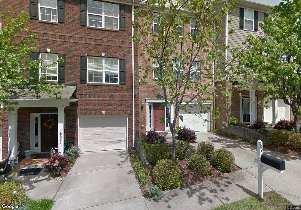
102 Forsythia Dr Mauldin, SC 29662
Estimated Value: $260,000 - $287,000
3
Beds
4
Baths
1,948
Sq Ft
$141/Sq Ft
Est. Value
About This Home
This home is located at 102 Forsythia Dr, Mauldin, SC 29662 and is currently estimated at $274,838, approximately $141 per square foot. 102 Forsythia Dr is a home located in Greenville County with nearby schools including Mauldin Elementary School, Mauldin Middle School, and Mauldin High School.
Ownership History
Date
Name
Owned For
Owner Type
Purchase Details
Closed on
Feb 10, 2017
Sold by
Mwai Anne N
Bought by
Martin Corbin Michael
Current Estimated Value
Home Financials for this Owner
Home Financials are based on the most recent Mortgage that was taken out on this home.
Original Mortgage
$155,800
Outstanding Balance
$129,427
Interest Rate
4.32%
Mortgage Type
New Conventional
Estimated Equity
$145,411
Purchase Details
Closed on
Jun 23, 2008
Sold by
Prudential Relocation Inc
Bought by
Mwai Anne N
Home Financials for this Owner
Home Financials are based on the most recent Mortgage that was taken out on this home.
Original Mortgage
$132,905
Interest Rate
6.03%
Mortgage Type
Unknown
Purchase Details
Closed on
Apr 22, 2008
Sold by
Webb Janna
Bought by
Prudential Relocation Inc
Create a Home Valuation Report for This Property
The Home Valuation Report is an in-depth analysis detailing your home's value as well as a comparison with similar homes in the area
Home Values in the Area
Average Home Value in this Area
Purchase History
| Date | Buyer | Sale Price | Title Company |
|---|---|---|---|
| Martin Corbin Michael | $164,000 | None Available | |
| Mwai Anne N | $139,900 | -- | |
| Prudential Relocation Inc | $139,900 | -- |
Source: Public Records
Mortgage History
| Date | Status | Borrower | Loan Amount |
|---|---|---|---|
| Open | Martin Corbin Michael | $155,800 | |
| Previous Owner | Mwai Anne N | $132,905 |
Source: Public Records
Tax History Compared to Growth
Tax History
| Year | Tax Paid | Tax Assessment Tax Assessment Total Assessment is a certain percentage of the fair market value that is determined by local assessors to be the total taxable value of land and additions on the property. | Land | Improvement |
|---|---|---|---|---|
| 2024 | $1,185 | $6,490 | $940 | $5,550 |
| 2023 | $1,185 | $6,490 | $940 | $5,550 |
| 2022 | $1,116 | $6,490 | $940 | $5,550 |
| 2021 | $1,117 | $6,490 | $940 | $5,550 |
| 2020 | $1,119 | $6,140 | $860 | $5,280 |
| 2019 | $1,120 | $6,140 | $860 | $5,280 |
| 2018 | $1,117 | $6,140 | $860 | $5,280 |
| 2017 | $1,029 | $5,640 | $860 | $4,780 |
| 2016 | $2,634 | $140,960 | $21,500 | $119,460 |
| 2015 | $2,634 | $140,960 | $21,500 | $119,460 |
| 2014 | $2,829 | $153,340 | $22,500 | $130,840 |
Source: Public Records
Map
Nearby Homes
- 208 Greenbush Ct
- 414 Woodbark Ct
- 21 Centimeters Dr
- 468 Woodbark Ct
- 113 Forrester Creek Dr
- 110 Auburn Top Ln
- 110 Forrester Creek Dr
- 473 Canewood Place
- 455 Canewood Place
- 224 Hadley Commons Dr
- 118 Nightingale Ln
- 1308 Alexandrite Ln
- 115 Sandpiper Ln
- 137 Gervais Cir
- 250 Hadley Commons Dr
- 11 Hickory Hollow Ct
- 1 Plum Creek Ln
- 0 Corn and Miller Rd
- 1042 Miller Rd
- 463 Christiane Way
- 100 Forsythia Dr
- 104 Forsythia Dr
- 106 Forsythia Dr
- 108 Forsythia Dr
- 103 Forsythia Dr Unit 302
- 103 Forsythia Dr
- 107 Forsythia Dr
- 109 Forsythia Dr
- 105 Forsythia Dr
- 111 Forsythia Dr
- 110 Forsythia Dr
- 101 Forsythia Dr
- 112 Forsythia Dr
- 223 Greenbush Ct
- 114 Forsythia Dr
- 221 Greenbush Ct
- 116 Forsythia Dr
- 219 Greenbush Ct
- 206 Greenbush Ct
- 204 Greenbush Ct