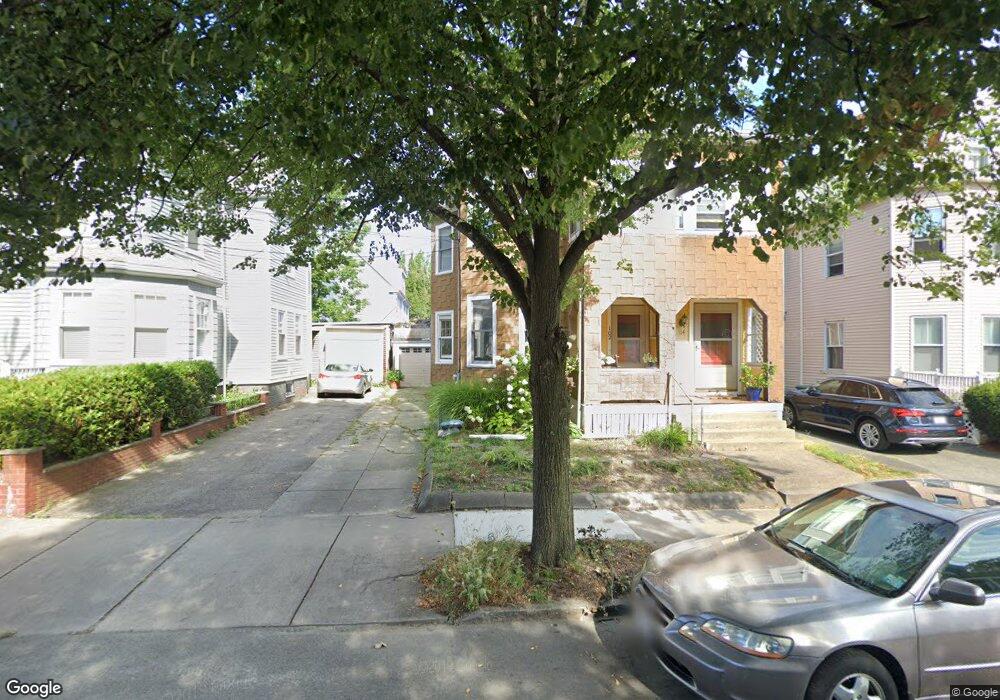
102 Hancock St Somerville, MA 02144
Davis Square NeighborhoodEstimated Value: $1,143,000 - $1,406,890
4
Beds
3
Baths
2,552
Sq Ft
$509/Sq Ft
Est. Value
About This Home
This home is located at 102 Hancock St, Somerville, MA 02144 and is currently estimated at $1,300,223, approximately $509 per square foot. 102 Hancock St is a home located in Middlesex County with nearby schools including Somerville High School, Benjamin Banneker Charter Public School, and St. Clement Elementary School.
Ownership History
Date
Name
Owned For
Owner Type
Purchase Details
Closed on
May 12, 1993
Sold by
Nelson Ebba I
Bought by
Sargent Robert W and Sargent Mary J
Current Estimated Value
Home Financials for this Owner
Home Financials are based on the most recent Mortgage that was taken out on this home.
Original Mortgage
$139,400
Interest Rate
7.47%
Mortgage Type
Purchase Money Mortgage
Create a Home Valuation Report for This Property
The Home Valuation Report is an in-depth analysis detailing your home's value as well as a comparison with similar homes in the area
Home Values in the Area
Average Home Value in this Area
Purchase History
| Date | Buyer | Sale Price | Title Company |
|---|---|---|---|
| Sargent Robert W | $154,900 | -- |
Source: Public Records
Mortgage History
| Date | Status | Borrower | Loan Amount |
|---|---|---|---|
| Closed | Sargent Robert W | $139,400 |
Source: Public Records
Tax History
| Year | Tax Paid | Tax Assessment Tax Assessment Total Assessment is a certain percentage of the fair market value that is determined by local assessors to be the total taxable value of land and additions on the property. | Land | Improvement |
|---|---|---|---|---|
| 2025 | $12,372 | $1,134,000 | $675,100 | $458,900 |
| 2024 | $11,844 | $1,125,900 | $675,100 | $450,800 |
| 2023 | $11,330 | $1,095,700 | $675,100 | $420,600 |
| 2022 | $10,662 | $1,047,300 | $642,900 | $404,400 |
| 2021 | $10,399 | $1,020,500 | $638,300 | $382,200 |
| 2020 | $10,077 | $998,700 | $638,700 | $360,000 |
| 2019 | $9,587 | $891,000 | $581,400 | $309,600 |
| 2018 | $8,985 | $794,400 | $528,500 | $265,900 |
| 2017 | $8,805 | $754,500 | $498,700 | $255,800 |
| 2016 | $8,499 | $678,300 | $445,300 | $233,000 |
| 2015 | $8,099 | $642,300 | $411,300 | $231,000 |
Source: Public Records
Map
Nearby Homes
- 315 Highland Ave Unit 101
- 79 Willow Ave
- 82 Willow Ave Unit 1
- 49 Cherry St Unit 1
- 355 Highland Ave Unit 1
- 16 Rogers Ave
- 371 Highland Ave
- 83 Cedar St Unit 1
- 13 Alpine St Unit 202
- 167 Albion St
- 29 Prichard Ave Unit 2
- 29 Prichard Ave Unit 1
- 353 Summer St Unit 310
- 13 Warwick St
- 156 Albion St Unit 1
- 68 Winslow Ave
- 74 Pearson Ave
- 43 Grove St
- 227 Cedar St Unit 5
- 10 Beech St Unit 4
- 104 Hancock St Unit 104
- 106 Hancock St
- 98 Hancock St Unit 1
- 98 Hancock St
- 9 Lesley Ave
- 110 Hancock St
- 5 Lesley Ave
- 15 Lesley Ave
- 325 Highland Ave
- 325 Highland Ave Unit T14
- 325 Highland Ave Unit T15
- 325 Highland Ave Unit 2
- 19 Lesley Ave
- 114 Hancock St
- 103 Hancock St Unit 103
- 327 Highland Ave
- 327 Highland Ave
- 327 Highland Ave Unit 3
- 327 Highland Ave Unit 2
- 327 Highland Ave Unit 1
Your Personal Tour Guide
Ask me questions while you tour the home.