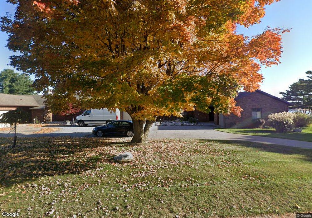
102 Harbor Dr Ludington, MI 49431
Estimated Value: $370,000 - $631,000
2
Beds
2
Baths
1,372
Sq Ft
$331/Sq Ft
Est. Value
About This Home
This home is located at 102 Harbor Dr, Ludington, MI 49431 and is currently estimated at $453,813, approximately $330 per square foot. 102 Harbor Dr is a home located in Mason County with nearby schools including Ludington Elementary School, Lakeview Elementary School, and O.J. DeJonge Middle School.
Ownership History
Date
Name
Owned For
Owner Type
Purchase Details
Closed on
Sep 19, 2018
Sold by
Wright James E
Bought by
Wright Ft
Current Estimated Value
Purchase Details
Closed on
Aug 22, 2018
Sold by
Wright James E
Bought by
Wright Ft
Purchase Details
Closed on
Apr 23, 2009
Sold by
Mercantile Bank Of Michigan
Bought by
Wright James E
Purchase Details
Closed on
Mar 20, 2008
Sold by
Slagter Robert D and Slagter Julie A
Bought by
Jpmorgan Chase Bank Na
Purchase Details
Closed on
Apr 1, 1997
Create a Home Valuation Report for This Property
The Home Valuation Report is an in-depth analysis detailing your home's value as well as a comparison with similar homes in the area
Home Values in the Area
Average Home Value in this Area
Purchase History
| Date | Buyer | Sale Price | Title Company |
|---|---|---|---|
| Wright Ft | -- | -- | |
| Wright Ft | -- | -- | |
| Wright Ft | -- | -- | |
| Wright James E | $207,500 | None Available | |
| Jpmorgan Chase Bank Na | $124,511 | None Available | |
| -- | $138,000 | -- |
Source: Public Records
Tax History Compared to Growth
Tax History
| Year | Tax Paid | Tax Assessment Tax Assessment Total Assessment is a certain percentage of the fair market value that is determined by local assessors to be the total taxable value of land and additions on the property. | Land | Improvement |
|---|---|---|---|---|
| 2025 | $4,752 | $235,600 | $235,600 | $0 |
| 2024 | -- | $228,500 | $228,500 | $0 |
| 2023 | -- | $179,700 | $179,700 | $0 |
| 2022 | -- | $149,400 | $0 | $0 |
| 2021 | -- | $122,900 | $0 | $0 |
| 2020 | -- | -- | $0 | $0 |
| 2019 | -- | -- | $0 | $0 |
| 2018 | -- | -- | $0 | $0 |
| 2017 | -- | -- | $0 | $0 |
| 2016 | -- | -- | $0 | $0 |
| 2015 | -- | -- | $0 | $0 |
| 2013 | -- | -- | $0 | $0 |
Source: Public Records
Map
Nearby Homes
- 805 W Loomis St
- 706 W Loomis St
- 806 W Loomis St
- 502 W Loomis St Unit Lot 11, Bk 49
- 502 W Loomis St Unit Lot 10, Bk 49
- 502 W Loomis St Unit Lot 9, Bk 49
- 502 W Loomis St Unit Lot 12, Bk 49
- Waterfront S Lakeshore Dr
- 710 W Ludington Ave
- 109 W Melendy St
- 413 S Rath Ave Unit Site 2
- 0 S Lakeshore Dr Unit 26 25024445
- 0 S Lakeshore Dr Unit 25019896
- 106 W Danaher St
- 300 S Rath Ave Unit 23
- 105 W Danaher St Unit 309
- 105 W Danaher St Unit 201
- 105 W Danaher St Unit 401
- 3843 Highway 10 NW
- 302 S James St