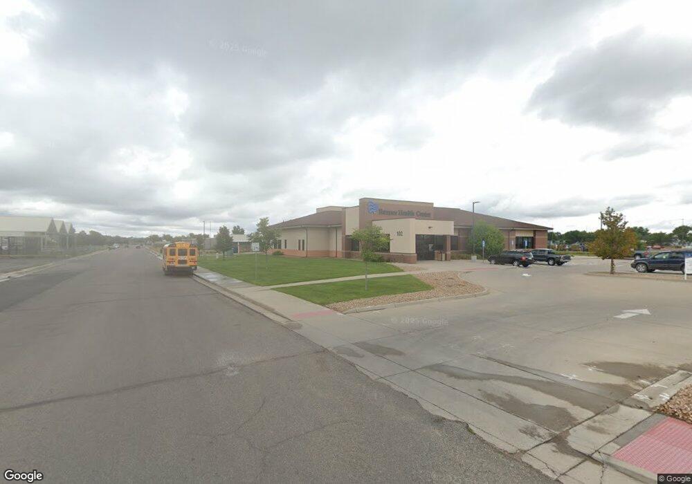
102 Hays Ave Sterling, CO 80751
Estimated Value: $1,283,747
--
Bed
--
Bath
4,973
Sq Ft
$258/Sq Ft
Est. Value
About This Home
This home is located at 102 Hays Ave, Sterling, CO 80751 and is currently priced at $1,283,747, approximately $258 per square foot. 102 Hays Ave is a home located in Logan County with nearby schools including Campbell Elementary School, Ayres Elementary School, and Sterling Middle School.
Ownership History
Date
Name
Owned For
Owner Type
Purchase Details
Closed on
Aug 27, 2010
Sold by
Fanea Burnett Investments Inc
Bought by
Wells Fargo Bank National Association
Current Estimated Value
Purchase Details
Closed on
Nov 25, 2008
Sold by
Hamil Properties Llc
Bought by
Fanea Burnett Investments Inc
Home Financials for this Owner
Home Financials are based on the most recent Mortgage that was taken out on this home.
Original Mortgage
$448,000
Interest Rate
6.5%
Mortgage Type
Commercial
Purchase Details
Closed on
Dec 5, 2006
Sold by
Hamil James R
Bought by
Hamil Properties Llc
Create a Home Valuation Report for This Property
The Home Valuation Report is an in-depth analysis detailing your home's value as well as a comparison with similar homes in the area
Home Values in the Area
Average Home Value in this Area
Purchase History
| Date | Buyer | Sale Price | Title Company |
|---|---|---|---|
| Wells Fargo Bank National Association | -- | None Available | |
| Fanea Burnett Investments Inc | $475,000 | Stewart Title Sterling Inc | |
| Hamil Properties Llc | -- | Stewart Title Sterling Inc |
Source: Public Records
Mortgage History
| Date | Status | Borrower | Loan Amount |
|---|---|---|---|
| Previous Owner | Fanea Burnett Investments Inc | $448,000 |
Source: Public Records
Tax History Compared to Growth
Tax History
| Year | Tax Paid | Tax Assessment Tax Assessment Total Assessment is a certain percentage of the fair market value that is determined by local assessors to be the total taxable value of land and additions on the property. | Land | Improvement |
|---|---|---|---|---|
| 2024 | $51,252 | $672,320 | $0 | $0 |
| 2023 | $43,353 | $2,050,350 | $340,070 | $1,710,280 |
| 2022 | $50,097 | $594,600 | $98,620 | $495,980 |
| 2021 | $47,597 | $594,600 | $98,620 | $495,980 |
| 2020 | $56,479 | $1,398,080 | $98,620 | $1,299,460 |
| 2019 | $54,103 | $1,280,020 | $98,620 | $1,181,400 |
| 2018 | $51,432 | $607,510 | $86,320 | $521,190 |
| 2017 | $50,611 | $733,210 | $104,180 | $629,030 |
| 2015 | $3,865 | $724,430 | $95,400 | $629,030 |
| 2014 | $3,865 | $94,550 | $90,150 | $4,400 |
| 2013 | $3,865 | $107,580 | $90,580 | $17,000 |
Source: Public Records
Map
Nearby Homes
- 315 Hayes Ave Unit 95
- 1123 Kings Ct Unit 77
- 731 Douglas St
- 223 N 8th Ave
- 827 Clark St
- 717 Phelps St
- 100 Belaire Cir
- 701 Phelps St
- 851 Denver St Unit 4
- 906 S 11th Ave
- 1172 Delmar St
- 514 Hamilton St
- 1174 Westview Dr
- 622 Park St
- 112 N 5th Ave
- 504 N 6th Ave
- 806 Beattie Dr
- 426 W Main St
- 947 Holden Ln
- 1125 Delmar St
- 1107 W Main St
- 1301 W Main St
- 1103 W Main St
- 1315 W Main St
- 0 Barnes Cir
- 1030 Douglas St Unit Logan
- 1030 Douglas St
- 1005 W Main St
- 314 Hays Ave Unit 4
- 1013 Douglas St
- 1009 Douglas St
- 1032 Hamilton St
- 1116 W Main St
- 1167 Nottingham Ct Unit 21
- 211 S 10th Ave
- 1425 W Main St
- 1200 Platte St
- 1125 Nottingham Ct
- 1125 Nottingham Ct Unit 8
- 212 S 10th Ave