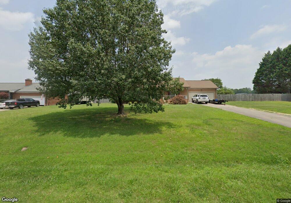
102 Heather Ln Kings Mountain, NC 28086
Estimated Value: $289,203 - $376,000
3
Beds
2
Baths
1,428
Sq Ft
$237/Sq Ft
Est. Value
About This Home
This home is located at 102 Heather Ln, Kings Mountain, NC 28086 and is currently estimated at $338,051, approximately $236 per square foot. 102 Heather Ln is a home located in Cleveland County with nearby schools including Bethware Elementary School, Kings Mountain Intermediate School, and Kings Mountain Middle.
Ownership History
Date
Name
Owned For
Owner Type
Purchase Details
Closed on
Feb 25, 2016
Sold by
Conner Gregory L
Bought by
Long David Steven and Long Melissa Gail
Current Estimated Value
Home Financials for this Owner
Home Financials are based on the most recent Mortgage that was taken out on this home.
Original Mortgage
$132,000
Outstanding Balance
$106,240
Interest Rate
4.25%
Mortgage Type
Adjustable Rate Mortgage/ARM
Estimated Equity
$231,811
Create a Home Valuation Report for This Property
The Home Valuation Report is an in-depth analysis detailing your home's value as well as a comparison with similar homes in the area
Home Values in the Area
Average Home Value in this Area
Purchase History
| Date | Buyer | Sale Price | Title Company |
|---|---|---|---|
| Long David Steven | $132,000 | None Available |
Source: Public Records
Mortgage History
| Date | Status | Borrower | Loan Amount |
|---|---|---|---|
| Open | Long David Steven | $132,000 |
Source: Public Records
Tax History Compared to Growth
Tax History
| Year | Tax Paid | Tax Assessment Tax Assessment Total Assessment is a certain percentage of the fair market value that is determined by local assessors to be the total taxable value of land and additions on the property. | Land | Improvement |
|---|---|---|---|---|
| 2025 | $1,479 | $232,856 | $19,676 | $213,180 |
| 2024 | $1,352 | $159,961 | $18,562 | $141,399 |
| 2023 | $1,345 | $159,961 | $18,562 | $141,399 |
| 2022 | $1,345 | $159,961 | $18,562 | $141,399 |
| 2021 | $1,350 | $159,961 | $18,562 | $141,399 |
| 2020 | $1,120 | $126,421 | $16,929 | $109,492 |
| 2019 | $1,120 | $126,421 | $16,929 | $109,492 |
| 2018 | $1,116 | $126,421 | $16,929 | $109,492 |
| 2017 | $1,110 | $126,421 | $16,929 | $109,492 |
| 2016 | $1,061 | $126,421 | $16,929 | $109,492 |
| 2015 | $568 | $135,961 | $14,107 | $121,854 |
| 2014 | $582 | $139,488 | $17,634 | $121,854 |
Source: Public Records
Map
Nearby Homes
- 221 Reliance Rd
- 236 Hoyles Rd
- 117 Dutchess Dr
- 117 Sir Lancelot Ln
- 145 Crown Ct
- 103 Stony Point Rd
- 107 Stony Point Rd
- 000 Putnam Lake Rd
- 2207 David Baptist Ch Rd
- 1427 Merrimont Ave
- 167 Patterson Rd
- 521 Coman Ln
- 2166 Vestibule Church Rd
- 1610 Shelby Rd
- 111 High Ridge Ct
- 1417 Merrimont Ave
- 155 Patterson Rd
- 115 El Bethel Rd
- 106 Cameron Dr
- 114 Yarbro Rd Unit 23
- 104 Heather Ln
- 103 Heather Ln
- 106 Heather Ln
- 105 Brandonwood Ln
- 109 Brandonwood Ln
- 105 Heather Ln
- 231 Reliance Rd
- 233 Reliance Rd
- 111 Brandonwood Ln
- 108 Heather Ln
- 227 Reliance Rd
- 235 Reliance Rd
- 115 Brandonwood Ln
- 223 Reliance Rd
- 109 Heather Ln
- 108 Brandonwood Ln
- 106 Brandonwood Ln
- 110 Heather Ln
- 104 Brandonwood Ln
- 301 Reliance Rd