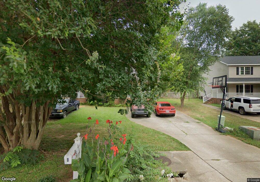
102 Heatherbrook Ct Unit A Anderson, SC 29625
Estimated Value: $142,883 - $261,000
2
Beds
2
Baths
1,047
Sq Ft
$176/Sq Ft
Est. Value
About This Home
This home is located at 102 Heatherbrook Ct Unit A, Anderson, SC 29625 and is currently estimated at $184,721, approximately $176 per square foot. 102 Heatherbrook Ct Unit A is a home located in Anderson County with nearby schools including Centerville Elementary School, Westside High School, and Anderson Institute of Technology.
Ownership History
Date
Name
Owned For
Owner Type
Purchase Details
Closed on
Dec 2, 2013
Sold by
Ervin David and Ervin David James
Bought by
Ervin Business Enterprises Llc
Current Estimated Value
Purchase Details
Closed on
Dec 13, 2011
Sold by
Canfield John F and Canfield Elizabeth M
Bought by
Ervin David
Purchase Details
Closed on
Jul 12, 2006
Sold by
Suntrust Bank
Bought by
Canfield John F and Canfield Elizabeth M
Home Financials for this Owner
Home Financials are based on the most recent Mortgage that was taken out on this home.
Original Mortgage
$92,797
Interest Rate
6.68%
Mortgage Type
Purchase Money Mortgage
Purchase Details
Closed on
Dec 22, 2005
Sold by
Jaynes Lin J
Bought by
Suntrust Bank
Create a Home Valuation Report for This Property
The Home Valuation Report is an in-depth analysis detailing your home's value as well as a comparison with similar homes in the area
Home Values in the Area
Average Home Value in this Area
Purchase History
| Date | Buyer | Sale Price | Title Company |
|---|---|---|---|
| Ervin Business Enterprises Llc | -- | -- | |
| Ervin David | $104,000 | -- | |
| Canfield John F | $114,000 | None Available | |
| Suntrust Bank | $100,000 | -- |
Source: Public Records
Mortgage History
| Date | Status | Borrower | Loan Amount |
|---|---|---|---|
| Previous Owner | Canfield John F | $92,797 |
Source: Public Records
Tax History
| Year | Tax Paid | Tax Assessment Tax Assessment Total Assessment is a certain percentage of the fair market value that is determined by local assessors to be the total taxable value of land and additions on the property. | Land | Improvement |
|---|---|---|---|---|
| 2024 | $1,662 | $4,520 | $1,070 | $3,450 |
| 2023 | $1,658 | $4,520 | $1,070 | $3,450 |
| 2022 | $1,562 | $4,520 | $1,070 | $3,450 |
| 2021 | $1,552 | $4,540 | $1,200 | $3,340 |
| 2020 | $1,525 | $4,540 | $1,200 | $3,340 |
| 2019 | $1,525 | $4,540 | $1,200 | $3,340 |
| 2018 | $1,506 | $4,540 | $1,200 | $3,340 |
| 2017 | -- | $4,540 | $1,200 | $3,340 |
| 2016 | $1,695 | $5,010 | $840 | $4,170 |
| 2015 | $1,707 | $5,010 | $840 | $4,170 |
| 2014 | $1,674 | $5,010 | $840 | $4,170 |
Source: Public Records
Map
Nearby Homes
- 201 Centerville Rd
- 1400 Pearman Dairy Rd
- 101 Mimosa Ct
- 1215 Ravenswood Dr
- 109 Pine Tree Ln
- 104 Pine Tree Ln
- 102 Pine Needle Trail
- 303 Loblolly Dr
- 402 Loblolly Dr
- 642 Hunters Ln
- 224 Rio Way
- 205 Rio Way
- 404 Azalea Dr
- 300 Azalea Dr
- 111 Park Way
- 407 Camellia Dr
- 602 Loblolly Dr
- 107 Hillside Dr
- 204 Stone Dr
- 709 Loblolly Dr
- 104B Heatherbrook Ct
- 100 Heatherbrook Ct Unit A
- 100 Heatherbrook Ct
- 104A Heatherbrook Ct
- 100A Heatherbrook Ct
- 104 Heatherbrook Ct Unit B
- 104 Heatherbrook Ct Unit A
- 104 Heatherbrook Ct
- 103 Ashwood Ln
- 101 Ashwood Ln
- 106 Heatherbrook Ct
- 105 Ashwood Ln
- 105 Heatherbrook Ct
- 103B Heatherbrook Ct
- 103 Heatherbrook Ct Unit B
- 103 Heatherbrook Ct Unit A
- 103 Heatherbrook Ct
- 103A Heatherbrook Ct
- 107 Heatherbrook Ct Unit B
- 107 Heatherbrook Ct Unit A
Your Personal Tour Guide
Ask me questions while you tour the home.