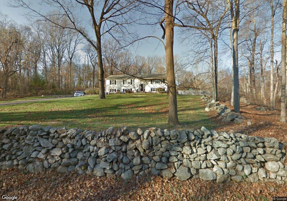
102 Kent Rd Wilton, CT 06897
Estimated Value: $939,000 - $1,543,000
4
Beds
3
Baths
1,624
Sq Ft
$692/Sq Ft
Est. Value
About This Home
This home is located at 102 Kent Rd, Wilton, CT 06897 and is currently estimated at $1,123,815, approximately $692 per square foot. 102 Kent Rd is a home located in Fairfield County with nearby schools including Miller-Driscoll School, Cider Mill School, and Middlebrook School.
Ownership History
Date
Name
Owned For
Owner Type
Purchase Details
Closed on
Apr 28, 2006
Sold by
Dec Joseph B and Dec Marianne
Bought by
Coughlin Rosanna
Current Estimated Value
Purchase Details
Closed on
Jul 15, 1997
Sold by
Amendola Anthony
Bought by
Dec Joe
Purchase Details
Closed on
Oct 31, 1995
Sold by
Halk John and Halk Christine
Bought by
Amendola Christine
Purchase Details
Closed on
Oct 14, 1992
Sold by
Castells Jean P
Bought by
Halk John and Halk Christine
Create a Home Valuation Report for This Property
The Home Valuation Report is an in-depth analysis detailing your home's value as well as a comparison with similar homes in the area
Home Values in the Area
Average Home Value in this Area
Purchase History
| Date | Buyer | Sale Price | Title Company |
|---|---|---|---|
| Coughlin Rosanna | $726,000 | -- | |
| Dec Joe | $355,000 | -- | |
| Amendola Christine | $310,000 | -- | |
| Halk John | $267,500 | -- |
Source: Public Records
Mortgage History
| Date | Status | Borrower | Loan Amount |
|---|---|---|---|
| Open | Halk John | $665,500 | |
| Closed | Halk John | $80,000 |
Source: Public Records
Tax History
| Year | Tax Paid | Tax Assessment Tax Assessment Total Assessment is a certain percentage of the fair market value that is determined by local assessors to be the total taxable value of land and additions on the property. | Land | Improvement |
|---|---|---|---|---|
| 2025 | $12,873 | $527,380 | $315,700 | $211,680 |
| 2024 | $12,625 | $527,380 | $315,700 | $211,680 |
| 2023 | $11,337 | $387,450 | $293,370 | $94,080 |
| 2022 | $10,938 | $387,450 | $293,370 | $94,080 |
| 2021 | $8,494 | $387,450 | $293,370 | $94,080 |
| 2020 | $10,639 | $387,450 | $293,370 | $94,080 |
| 2019 | $11,058 | $387,450 | $293,370 | $94,080 |
| 2018 | $7,573 | $387,100 | $307,300 | $79,800 |
| 2017 | $10,750 | $387,100 | $307,300 | $79,800 |
| 2016 | $10,583 | $387,100 | $307,300 | $79,800 |
| 2015 | $10,386 | $387,100 | $307,300 | $79,800 |
| 2014 | $10,262 | $387,100 | $307,300 | $79,800 |
Source: Public Records
Map
Nearby Homes
- 123 Old Belden Hill Rd Unit 40
- 76 Fawn Ridge Ln
- 51 Chessor Ln
- 158 N Seir Hill Rd
- 3 Valley View Rd Unit 45
- 11 Eastwood Rd
- 25 Arrowhead Rd
- 2 Village Ct Unit 2
- 20 Arrowhead Rd
- 332 Belden Hill Rd
- 276 Grumman Ave
- 18 Singing Woods Rd
- 128 Grumman Hill Rd
- 73 Old Kings Hwy
- 239 Silvermine Ave
- 30 Freshwater Ln
- 135 Comstock Hill Rd
- 84 Wilton Crest Rd Unit 84
- 106A Comstock Hill Ave
- 106 Comstock Hill Ave
- 96 Kent Rd
- 25 Bob White Ln
- 101 Kent Rd
- 90 Kent Rd
- 87 Kent Rd
- 89 Old Belden Hill Rd
- 86 Old Belden Hill Rd
- 71 Old Belden Hill Rd
- 69 Old Belden Hill Rd
- 79 Kent Rd
- 74 Old Belden Hill Rd
- 27 Bob White Ln
- 53 Bob White Ln
- 23 Bob White Ln
- 105 Old Belden Hill Rd
- 56 Chipmunk Ln
- 15 Bob White Ln
- 66 Bob White Ln
- 37 Bob White Ln
- 28 Bob White Ln
Your Personal Tour Guide
Ask me questions while you tour the home.