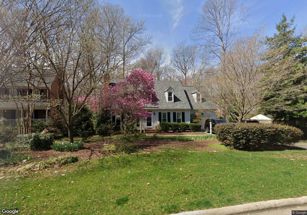
102 Kings Fork Rd Cary, NC 27511
South Cary NeighborhoodEstimated Value: $492,000 - $592,000
3
Beds
3
Baths
2,300
Sq Ft
$230/Sq Ft
Est. Value
About This Home
This home is located at 102 Kings Fork Rd, Cary, NC 27511 and is currently estimated at $528,903, approximately $229 per square foot. 102 Kings Fork Rd is a home located in Wake County with nearby schools including Farmington Woods Elementary, East Cary Middle School, and Cary High School.
Ownership History
Date
Name
Owned For
Owner Type
Purchase Details
Closed on
Oct 4, 2018
Sold by
Hinshaw Robert C and Hinshaw Jeffrey Ray
Bought by
Morrow Carrie P and Morrow David E
Current Estimated Value
Home Financials for this Owner
Home Financials are based on the most recent Mortgage that was taken out on this home.
Original Mortgage
$304,000
Outstanding Balance
$267,164
Interest Rate
4.87%
Mortgage Type
Adjustable Rate Mortgage/ARM
Estimated Equity
$261,739
Purchase Details
Closed on
Aug 3, 1987
Bought by
Hinshaw Robert C and Hinshaw Pauline S
Create a Home Valuation Report for This Property
The Home Valuation Report is an in-depth analysis detailing your home's value as well as a comparison with similar homes in the area
Home Values in the Area
Average Home Value in this Area
Purchase History
| Date | Buyer | Sale Price | Title Company |
|---|---|---|---|
| Morrow Carrie P | $322,000 | None Available | |
| Hinshaw Robert C | $138,000 | -- |
Source: Public Records
Mortgage History
| Date | Status | Borrower | Loan Amount |
|---|---|---|---|
| Open | Morrow Carrie P | $304,000 |
Source: Public Records
Tax History
| Year | Tax Paid | Tax Assessment Tax Assessment Total Assessment is a certain percentage of the fair market value that is determined by local assessors to be the total taxable value of land and additions on the property. | Land | Improvement |
|---|---|---|---|---|
| 2025 | $4,366 | $507,015 | $220,000 | $287,015 |
| 2024 | $4,271 | $507,015 | $220,000 | $287,015 |
Source: Public Records
Map
Nearby Homes
- 404 Greenwood Cir
- 111 Bonner Ct
- 1205 Seabrook Ave
- 116 Barbary Ct
- 1103 Seabrook Ave
- 807 Ellynn Dr
- 604 Ashe Ave
- 609 Ashe Ave
- 1414 Debra Dr
- 106 Brannigan Place
- 1209 Willowbrook Dr
- 1208 Walnut St
- 1331 Kingston Ridge Rd
- 1641 Kildonan Place
- 1103 Warren Ave
- 132 New Kent Place Unit 132
- 149 Glenpark Place
- 2004 Clyde Bank Ct Unit 27A
- 1227 Kingston Ridge Rd
- 1014 Washington St
- 104 Kings Fork Rd
- 106 Kings Fork Rd
- 402 Greenwood Cir
- 107 Abram Dr
- 101 Kings Fork Rd
- 102 Devine Way
- 103 Kings Fork Rd
- 105 Abram Dr
- 100 Lively Ct W
- 104 Devine Way
- 109 Abram Dr
- 501 Greenwood Cir
- 100 Devine Way
- 103 Lively Ct E
- 403 Greenwood Cir
- 502 Greenwood Cir
- 101 W Gerrell Ct
- 101 Seth Ct
- 106 Devine Way
- 110 Abram Dr
Your Personal Tour Guide
Ask me questions while you tour the home.