102 Low Creek Dr Toccoa, GA 30577
Estimated Value: $252,800 - $283,000
3
Beds
2
Baths
1,457
Sq Ft
$183/Sq Ft
Est. Value
About This Home
This home is located at 102 Low Creek Dr, Toccoa, GA 30577 and is currently estimated at $265,950, approximately $182 per square foot. 102 Low Creek Dr is a home located in Stephens County with nearby schools including Stephens County High School.
Ownership History
Date
Name
Owned For
Owner Type
Purchase Details
Closed on
Jun 10, 2021
Sold by
Law Thomas H
Bought by
Carroll Sabrena D
Current Estimated Value
Purchase Details
Closed on
Mar 1, 2002
Bought by
Law Thomas H and Law Karen P
Create a Home Valuation Report for This Property
The Home Valuation Report is an in-depth analysis detailing your home's value as well as a comparison with similar homes in the area
Home Values in the Area
Average Home Value in this Area
Purchase History
| Date | Buyer | Sale Price | Title Company |
|---|---|---|---|
| Carroll Sabrena D | -- | -- | |
| Baskette Donnie | -- | -- | |
| Law Thomas H | $117,000 | -- |
Source: Public Records
Tax History Compared to Growth
Tax History
| Year | Tax Paid | Tax Assessment Tax Assessment Total Assessment is a certain percentage of the fair market value that is determined by local assessors to be the total taxable value of land and additions on the property. | Land | Improvement |
|---|---|---|---|---|
| 2024 | $742 | $59,432 | $8,624 | $50,808 |
| 2023 | $1,596 | $55,620 | $8,624 | $46,996 |
| 2022 | $1,509 | $52,696 | $8,624 | $44,072 |
| 2021 | $1,483 | $49,411 | $9,212 | $40,199 |
| 2020 | $1,498 | $49,448 | $9,212 | $40,236 |
| 2019 | $1,467 | $48,247 | $9,212 | $39,035 |
| 2018 | $1,467 | $48,247 | $9,212 | $39,035 |
| 2017 | $1,490 | $48,247 | $9,212 | $39,035 |
| 2016 | $1,467 | $48,247 | $9,212 | $39,035 |
| 2015 | $1,534 | $48,182 | $9,212 | $38,970 |
| 2014 | $1,559 | $48,183 | $9,212 | $38,971 |
| 2013 | -- | $48,520 | $9,400 | $39,120 |
Source: Public Records
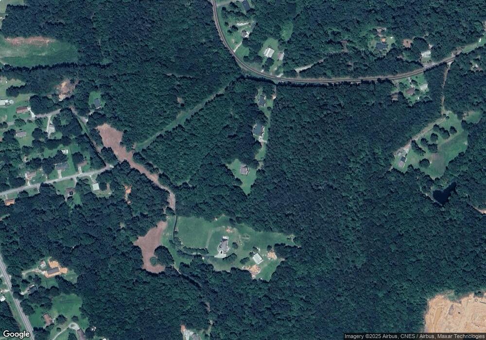
Map
Nearby Homes
- 184 Scott Cir
- 1662 Carnes Creek Rd
- 1387 Mize Rd
- 215 Old Mize Rd
- 0 Switchback Run Unit 10437289
- 275 Southern Trace
- 255 Southern Trace
- 97 Hillside Dr
- 151 Richardson St
- 770 Buena Vista Dr
- 160 Buena Vista Dr
- 136 Julia Ct
- 9369 Sherwood Ct
- 140 Julia Ct
- 475 Hilltop Way
- 189 Julia Ln
- 372 Hilltop Way
- 739 Poplar St
- 571 N Currahee Ln
- 1037 S Pond St
- 0 Bobcat Trail Unit LOT 9/ 2602141
- 0 Low Creek Dr
- 70 Low Creek Dr
- 30 Low Creek Dr
- 6093 Jordan Rd
- 174 Scott Cir
- 845 Jordan Rd
- 95 Summers Ln
- 801 Jordan Rd
- 148 Scott Cir
- 1088 Jordan Rd
- 137 Scott Cir
- 236 Scott Cir
- 1020 Jordan Rd
- 128 Scott Cir
- 2539 Mize Rd
- 1034 Jordan Rd
- 737 Jordan Rd
- 145 Summers Ln
- 111 Scott Cir