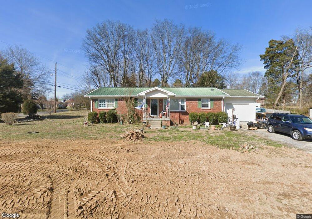
102 Maple St Cross Plains, TN 37049
Estimated Value: $193,095 - $331,000
--
Bed
1
Bath
1,250
Sq Ft
$216/Sq Ft
Est. Value
About This Home
This home is located at 102 Maple St, Cross Plains, TN 37049 and is currently estimated at $269,524, approximately $215 per square foot. 102 Maple St is a home located in Robertson County with nearby schools including East Robertson Elementary School and East Robertson High School.
Ownership History
Date
Name
Owned For
Owner Type
Purchase Details
Closed on
Sep 22, 2006
Sold by
Stuard Burton
Bought by
Stuard Burton and Stuard Sharon
Current Estimated Value
Purchase Details
Closed on
Sep 11, 2001
Sold by
Stonebrook Investments
Bought by
Stuard Burton
Home Financials for this Owner
Home Financials are based on the most recent Mortgage that was taken out on this home.
Original Mortgage
$80,000
Interest Rate
6.89%
Purchase Details
Closed on
Feb 28, 2001
Sold by
Mortgage Lenders Network
Bought by
Stonebrook Investment
Purchase Details
Closed on
Sep 7, 2000
Bought by
Mortg Lenders Network Usa % Kleinsmith & Asso
Purchase Details
Closed on
Mar 5, 1987
Bought by
Evans George W and Evans Lynda
Purchase Details
Closed on
Jan 1, 1979
Create a Home Valuation Report for This Property
The Home Valuation Report is an in-depth analysis detailing your home's value as well as a comparison with similar homes in the area
Home Values in the Area
Average Home Value in this Area
Purchase History
| Date | Buyer | Sale Price | Title Company |
|---|---|---|---|
| Stuard Burton | -- | -- | |
| Stuard Burton | $100,000 | -- | |
| Stonebrook Investment | $60,000 | -- | |
| Mortg Lenders Network Usa % Kleinsmith & Asso | $65,700 | -- | |
| Evans George W | -- | -- | |
| -- | $35,900 | -- |
Source: Public Records
Mortgage History
| Date | Status | Borrower | Loan Amount |
|---|---|---|---|
| Previous Owner | Not Available | $80,000 |
Source: Public Records
Tax History Compared to Growth
Tax History
| Year | Tax Paid | Tax Assessment Tax Assessment Total Assessment is a certain percentage of the fair market value that is determined by local assessors to be the total taxable value of land and additions on the property. | Land | Improvement |
|---|---|---|---|---|
| 2024 | -- | $47,725 | $7,500 | $40,225 |
| 2023 | $859 | $47,725 | $7,500 | $40,225 |
| 2022 | $614 | $23,850 | $2,500 | $21,350 |
| 2021 | $614 | $23,850 | $2,500 | $21,350 |
| 2020 | $614 | $23,850 | $2,500 | $21,350 |
| 2019 | $614 | $23,850 | $2,500 | $21,350 |
| 2018 | $614 | $23,850 | $2,500 | $21,350 |
| 2017 | $649 | $21,050 | $2,150 | $18,900 |
| 2016 | $649 | $21,050 | $2,150 | $18,900 |
| 2015 | $623 | $21,050 | $2,150 | $18,900 |
| 2014 | $623 | $21,050 | $2,150 | $18,900 |
Source: Public Records
Map
Nearby Homes
- 9611 Cross Plains Rd
- 2136 Neill Ln
- 4394 Socata Ct
- 1033 Valleydale Ave
- 82 Deer Run Rd
- 4557 Yates Rd
- 4338 Calista Rd
- 7265 Highway 25 E
- 1653 Friendship Rd
- 1783 Friendship Rd
- 3057 Chance Ct
- 3978 Bilbrey Dr
- 8205 Brownstone Extension
- 1059 Melvin Dr
- 1138 Melvin Dr
- 8265 Guthrie Rd
- 1336 Chelseas Way
- 2671 Friendship Rd
- 5661 Dixon Rd
- 8288 Guthrie Rd