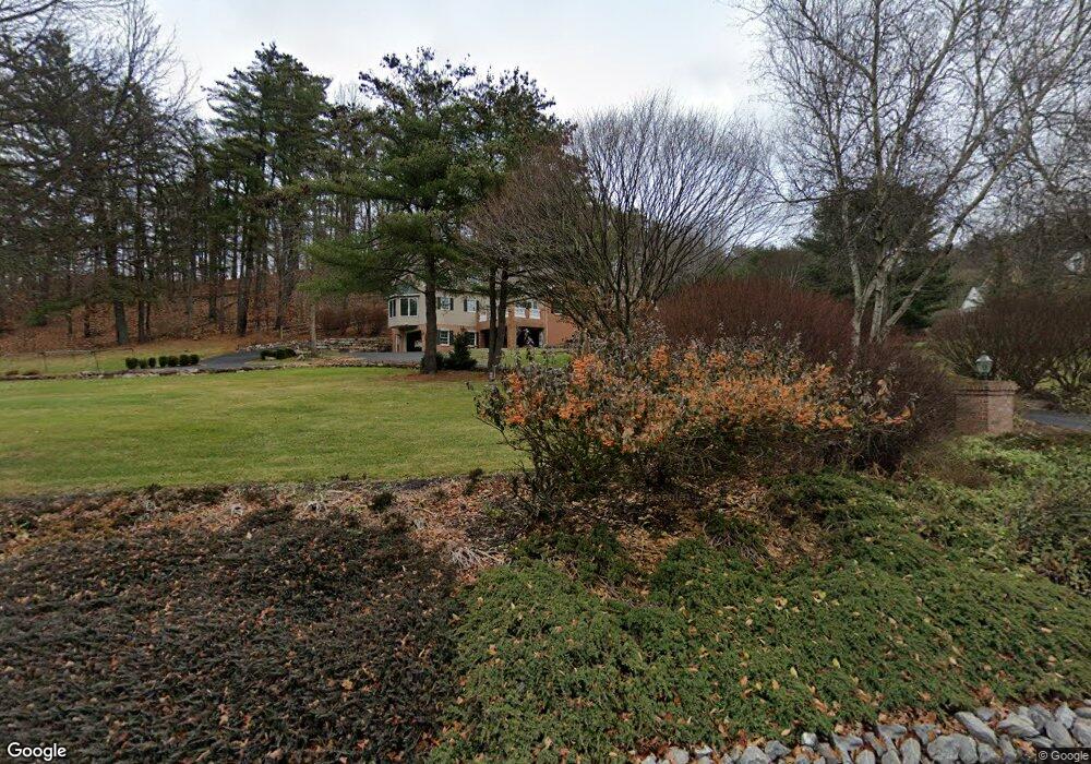
102 Michael Rd Port Matilda, PA 16870
Patton NeighborhoodEstimated Value: $872,000 - $1,182,000
4
Beds
3
Baths
5,542
Sq Ft
$177/Sq Ft
Est. Value
About This Home
This home is located at 102 Michael Rd, Port Matilda, PA 16870 and is currently estimated at $980,318, approximately $176 per square foot. 102 Michael Rd is a home located in Centre County with nearby schools including Park Forest Elementary School, Park Forest Middle School, and State College Area High School.
Ownership History
Date
Name
Owned For
Owner Type
Purchase Details
Closed on
Aug 19, 2025
Sold by
Moerschbacher Cyril C and Casale Jacquelyn A
Bought by
Han E David E and Han Elizabeth B
Current Estimated Value
Purchase Details
Closed on
Feb 10, 1993
Bought by
Moerschbacher Cyril and Moerschbacher Jacquelyn
Create a Home Valuation Report for This Property
The Home Valuation Report is an in-depth analysis detailing your home's value as well as a comparison with similar homes in the area
Home Values in the Area
Average Home Value in this Area
Purchase History
| Date | Buyer | Sale Price | Title Company |
|---|---|---|---|
| Han E David E | $1,150,000 | None Listed On Document | |
| Han E David E | $1,150,000 | None Listed On Document | |
| Moerschbacher Cyril | $41,300 | -- |
Source: Public Records
Tax History Compared to Growth
Tax History
| Year | Tax Paid | Tax Assessment Tax Assessment Total Assessment is a certain percentage of the fair market value that is determined by local assessors to be the total taxable value of land and additions on the property. | Land | Improvement |
|---|---|---|---|---|
| 2025 | $14,672 | $210,620 | $24,775 | $185,845 |
| 2024 | $13,689 | $210,620 | $24,775 | $185,845 |
| 2023 | $13,689 | $210,620 | $24,775 | $185,845 |
| 2022 | $13,359 | $210,620 | $24,775 | $185,845 |
| 2021 | $13,359 | $210,620 | $24,775 | $185,845 |
| 2020 | $13,359 | $210,620 | $24,775 | $185,845 |
| 2019 | $9,598 | $210,620 | $24,775 | $185,845 |
| 2018 | $12,950 | $210,620 | $24,775 | $185,845 |
| 2017 | $12,808 | $210,620 | $24,775 | $185,845 |
| 2016 | -- | $210,620 | $24,775 | $185,845 |
| 2015 | -- | $210,620 | $24,775 | $185,845 |
| 2014 | -- | $210,620 | $24,775 | $185,845 |
Source: Public Records
Map
Nearby Homes
- 113 Manhasset Dr
- 190 Michael Rd
- 171 Manhasset Dr
- 293 Michael Rd
- 209 Shadow Hawk Ln
- 95 Greenmeadow Ln
- 100 Forest Glen Cir
- 111 Wildernest Ln
- 107 Wildernest Ln
- 234 Amblewood Way Unit 234
- 833 Galen Dr
- 210 Amblewood Way Unit 210
- Lot 2 Julian Pike
- 291 Oakley Dr
- 257 Oakwood Ave
- 0 S Eagle Valley Rd
- 24 Wilts Ln
- 592 Melissa Ln
- 1141 W Aaron Dr Unit D
- Crestmont Plan at Grays Pointe - Single Family Homes
- 104 Michael Rd
- 106 Michael Rd
- 257 Stevenson Rd
- 150 Kimber Lee Dr
- 131 Manhasset Dr
- ON Stevenson Rd
- Lot #1 Stevenson Rd
- Lot on Stevenson Rd
- 0 Stevenson Rd
- Lot 8 Kimber Lee Dr
- 183 Michael Rd
- 154 Manhasset Dr
- 147 Manhasset Dr
- 391 Stevenson Rd
- 219 Stevenson Rd
- 217 Kimber Lee Dr
- 212 Michael Rd
- 212 Stevenson Rd
- 108 Basin St
- 199 Stevenson Rd