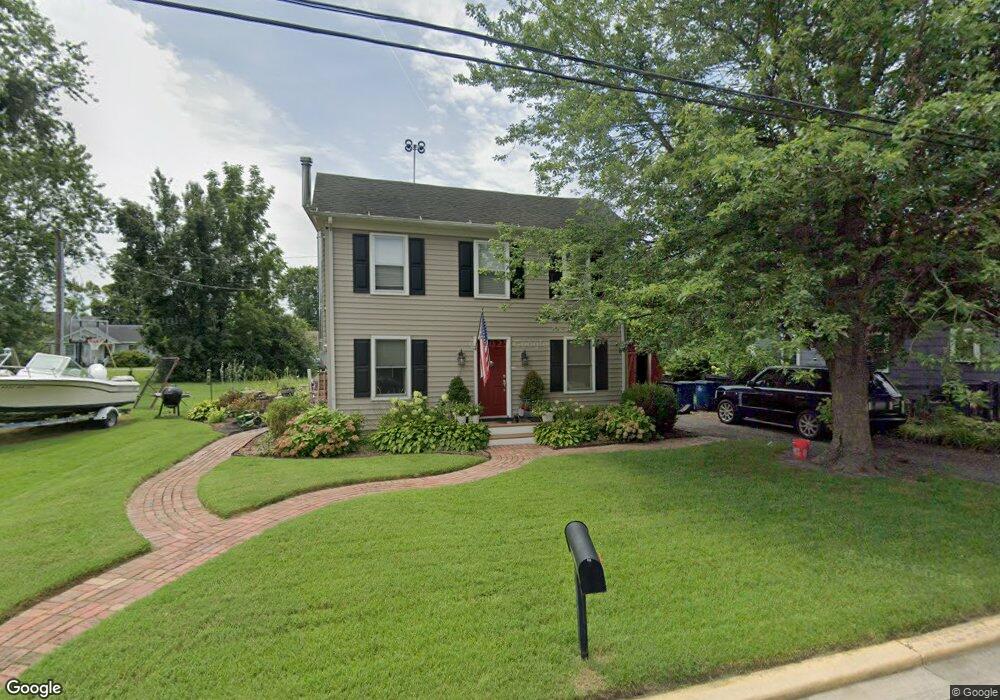
102 Mitchell St Saint Michaels, MD 21663
Estimated Value: $248,421 - $483,000
2
Beds
2
Baths
1,132
Sq Ft
$281/Sq Ft
Est. Value
About This Home
This home is located at 102 Mitchell St, Saint Michaels, MD 21663 and is currently estimated at $317,605, approximately $280 per square foot. 102 Mitchell St is a home located in Talbot County with nearby schools including St. Michaels Elementary School, St. Michaels Middle/High School, and Easton High School.
Ownership History
Date
Name
Owned For
Owner Type
Purchase Details
Closed on
May 18, 2004
Sold by
Campbell Kevin Denis
Bought by
Meddic Llc
Current Estimated Value
Purchase Details
Closed on
Feb 22, 1994
Sold by
Blades Roy E
Bought by
Campbell Kevin Denis
Home Financials for this Owner
Home Financials are based on the most recent Mortgage that was taken out on this home.
Original Mortgage
$74,000
Interest Rate
7.11%
Create a Home Valuation Report for This Property
The Home Valuation Report is an in-depth analysis detailing your home's value as well as a comparison with similar homes in the area
Home Values in the Area
Average Home Value in this Area
Purchase History
| Date | Buyer | Sale Price | Title Company |
|---|---|---|---|
| Meddic Llc | $135,000 | -- | |
| Campbell Kevin Denis | $84,000 | -- |
Source: Public Records
Mortgage History
| Date | Status | Borrower | Loan Amount |
|---|---|---|---|
| Previous Owner | Campbell Kevin Denis | $74,000 |
Source: Public Records
Tax History
| Year | Tax Paid | Tax Assessment Tax Assessment Total Assessment is a certain percentage of the fair market value that is determined by local assessors to be the total taxable value of land and additions on the property. | Land | Improvement |
|---|---|---|---|---|
| 2025 | $1,722 | $138,100 | $51,400 | $86,700 |
| 2024 | $1,602 | $129,733 | $0 | $0 |
| 2023 | $1,455 | $121,367 | $0 | $0 |
| 2022 | $1,296 | $113,000 | $49,500 | $63,500 |
| 2021 | $1,247 | $111,167 | $0 | $0 |
| 2020 | $1,242 | $109,333 | $0 | $0 |
| 2019 | $1,221 | $107,500 | $45,000 | $62,500 |
| 2018 | $1,195 | $107,133 | $0 | $0 |
| 2017 | $1,153 | $106,767 | $0 | $0 |
| 2016 | $1,024 | $106,400 | $0 | $0 |
| 2015 | $1,297 | $106,400 | $0 | $0 |
| 2014 | $1,297 | $106,400 | $0 | $0 |
Source: Public Records
Map
Nearby Homes
- 101 Brooks Ln
- 408 Spinnaker Ln
- 209 Webb Ln
- 216 Brooks Ln
- 228 Perry Cabin Dr Unit 228 / 226
- 205 Cherry St
- 117 Chesapeake Ave
- 111 Gloria Ave
- 101 Mulberry St
- 107 W Chestnut St
- 106 E Chestnut St
- 114 W Chestnut St
- 114 E Chew Ave
- 216 E Chew Ave
- Lot 16A Meadow St
- 105 Seymour Ave
- 24645 Long Haul Rd
- 9180 Saint Michaels Rd
- 9206 Martingham Dr
- 938 Marea Terrace
- 104 Mitchell St
- 108 Mitchell St
- 106 Trusty St
- 110 Mitchell St
- 102 Trusty St
- 105 Trusty St
- 504 N Talbot St
- 504 N Talbot St
- 104 Trusty St
- 106 Trusty St
- 600 N Talbot St
- 103 Trusty St
- 111 Mitchell St
- 602 N Talbot St
- 105 Trusty Ave
- 412 N Talbot St
- 404 N Talbot St
- 108 Trusty St
- 402 N Talbot St
- 100 Trusty St
Your Personal Tour Guide
Ask me questions while you tour the home.