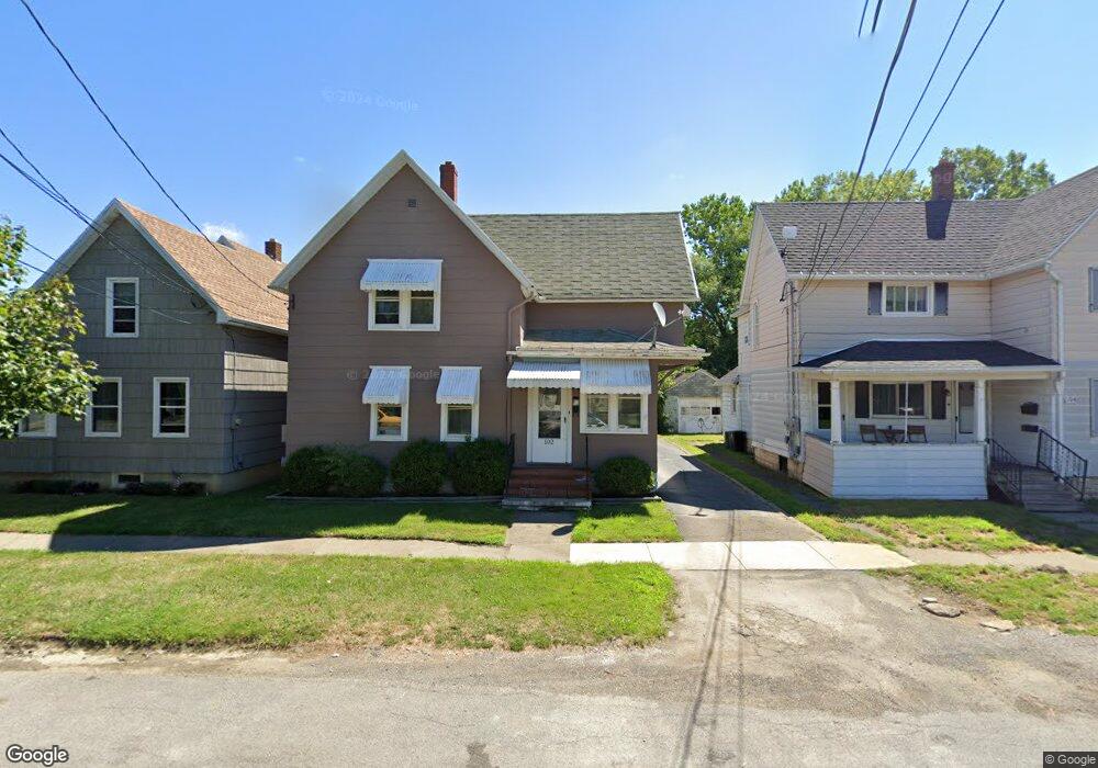
102 Moffat St Dunkirk, NY 14048
Estimated Value: $70,000 - $121,000
2
Beds
2
Baths
1,122
Sq Ft
$87/Sq Ft
Est. Value
About This Home
This home is located at 102 Moffat St, Dunkirk, NY 14048 and is currently estimated at $97,476, approximately $86 per square foot. 102 Moffat St is a home located in Chautauqua County with nearby schools including Dunkirk Intermediate School, Northern Chautauqua Catholic School, and Central Christian Academy.
Ownership History
Date
Name
Owned For
Owner Type
Purchase Details
Closed on
Jan 11, 2007
Sold by
Sec Of Housing & Urban De
Bought by
Woloszyn Andrew
Current Estimated Value
Purchase Details
Closed on
Jun 23, 2006
Sold by
Davis Kathleen
Bought by
Midfirst Bank
Purchase Details
Closed on
Jun 1, 1996
Sold by
Stuczynski Ronald
Bought by
Davis Kathleen M
Purchase Details
Closed on
May 27, 1996
Sold by
Stuczynski Ronald
Bought by
Davis Kathleen M
Purchase Details
Closed on
Sep 28, 1995
Create a Home Valuation Report for This Property
The Home Valuation Report is an in-depth analysis detailing your home's value as well as a comparison with similar homes in the area
Home Values in the Area
Average Home Value in this Area
Purchase History
| Date | Buyer | Sale Price | Title Company |
|---|---|---|---|
| Woloszyn Andrew | $17,052 | -- | |
| Midfirst Bank | $41,464 | -- | |
| Davis Kathleen M | $36,000 | -- | |
| Davis Kathleen M | $36,000 | -- | |
| -- | -- | -- | |
| -- | -- | -- |
Source: Public Records
Tax History
| Year | Tax Paid | Tax Assessment Tax Assessment Total Assessment is a certain percentage of the fair market value that is determined by local assessors to be the total taxable value of land and additions on the property. | Land | Improvement |
|---|---|---|---|---|
| 2024 | $1,449 | $36,000 | $2,300 | $33,700 |
| 2023 | $1,419 | $36,000 | $2,300 | $33,700 |
| 2022 | $1,249 | $36,000 | $2,300 | $33,700 |
| 2021 | $1,252 | $36,000 | $2,300 | $33,700 |
| 2020 | $1,242 | $36,000 | $2,300 | $33,700 |
| 2019 | $1,258 | $36,000 | $2,300 | $33,700 |
| 2018 | $1,258 | $36,000 | $2,300 | $33,700 |
| 2017 | $1,233 | $36,000 | $2,300 | $33,700 |
| 2016 | $1,200 | $36,000 | $2,300 | $33,700 |
| 2015 | -- | $36,000 | $2,300 | $33,700 |
| 2014 | -- | $36,000 | $2,300 | $33,700 |
Source: Public Records
Map
Nearby Homes
- 140 S Martin St
- 134 S Martin St
- 245 Lake Shore Dr E
- 120 S Ocelot St
- 172 S Margay St
- 115 Nevins St
- 129 E 2nd St
- 15 N Ocelot St
- 30 Saint Hedwigs Ave
- 146 Hoyt St
- 112 S Warsaw St
- 250 Townsend St
- 115 Lake Shore Dr E
- 58 Ruggles St
- 114 Deer St
- 0 W Benton & Ruggles St Unit R1631836
- 21 E Benton St
- 501 Deer St
- 468 Lake Shore Dr E
- 103 E 7th St
Your Personal Tour Guide
Ask me questions while you tour the home.