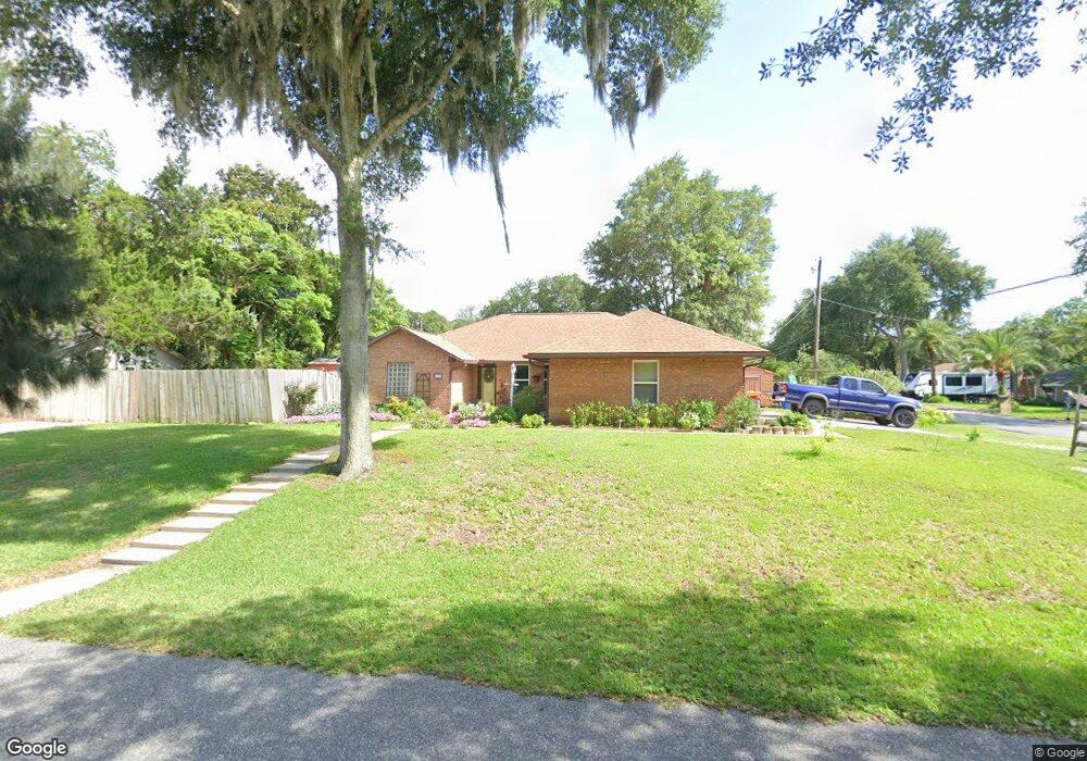
102 Mohegan Rd Saint Augustine, FL 32086
Estimated Value: $400,163 - $421,000
Studio
--
Bath
1,520
Sq Ft
$268/Sq Ft
Est. Value
About This Home
This home is located at 102 Mohegan Rd, Saint Augustine, FL 32086 and is currently estimated at $407,791, approximately $268 per square foot. 102 Mohegan Rd is a home located in St. Johns County with nearby schools including Osceola Elementary School, R J Murray Middle School, and Pedro Menendez High School.
Ownership History
Date
Name
Owned For
Owner Type
Purchase Details
Closed on
Oct 29, 2025
Sold by
Green Paul M and Green Michele G
Bought by
Green Paul M and Green Michele G
Current Estimated Value
Purchase Details
Closed on
Jun 30, 2006
Sold by
Johnson Walter and Johnson Margaret
Bought by
Green Paul M and Green Michele G
Home Financials for this Owner
Home Financials are based on the most recent Mortgage that was taken out on this home.
Original Mortgage
$109,000
Interest Rate
6.55%
Mortgage Type
Purchase Money Mortgage
Create a Home Valuation Report for This Property
The Home Valuation Report is an in-depth analysis detailing your home's value as well as a comparison with similar homes in the area
Home Values in the Area
Average Home Value in this Area
Purchase History
| Date | Buyer | Sale Price | Title Company |
|---|---|---|---|
| Green Paul M | $100 | None Listed On Document | |
| Green Paul M | $259,000 | Olde Towne Title & Escrow |
Source: Public Records
Mortgage History
| Date | Status | Borrower | Loan Amount |
|---|---|---|---|
| Previous Owner | Green Paul M | $109,000 |
Source: Public Records
Tax History
| Year | Tax Paid | Tax Assessment Tax Assessment Total Assessment is a certain percentage of the fair market value that is determined by local assessors to be the total taxable value of land and additions on the property. | Land | Improvement |
|---|---|---|---|---|
| 2025 | $1,868 | $174,610 | -- | -- |
| 2024 | $1,868 | $169,689 | -- | -- |
| 2023 | $1,868 | $164,747 | $0 | $0 |
| 2022 | $1,802 | $159,949 | $0 | $0 |
| 2021 | $1,788 | $155,290 | $0 | $0 |
| 2020 | $1,779 | $153,146 | $0 | $0 |
| 2019 | $1,572 | $149,703 | $0 | $0 |
| 2018 | $1,774 | $146,912 | $0 | $0 |
| 2017 | $0 | $143,890 | $0 | $0 |
| 2016 | $1,759 | $145,158 | $0 | $0 |
| 2015 | -- | $144,148 | $0 | $0 |
| 2014 | -- | $139,722 | $0 | $0 |
Source: Public Records
Map
Nearby Homes
Your Personal Tour Guide
Ask me questions while you tour the home.