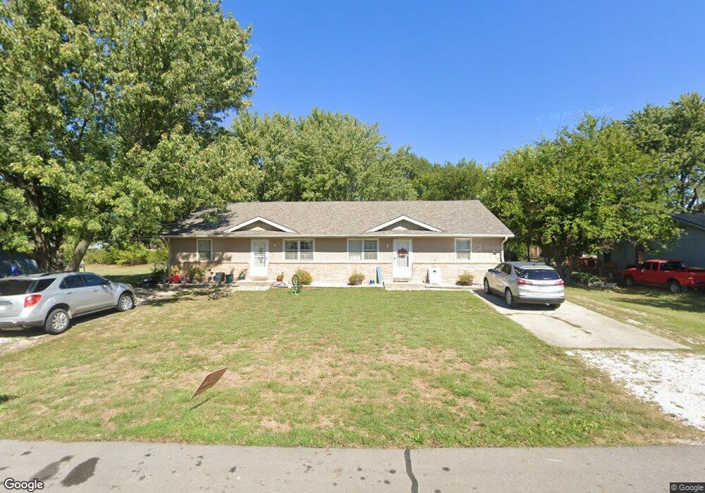
102 N 10th St Louisburg, KS 66053
Estimated Value: $221,000 - $299,675
6
Beds
2
Baths
2,160
Sq Ft
$125/Sq Ft
Est. Value
About This Home
This home is located at 102 N 10th St, Louisburg, KS 66053 and is currently estimated at $270,919, approximately $125 per square foot. 102 N 10th St is a home located in Miami County with nearby schools including Rockville Elementary School, Broadmoor Elementary School, and Louisburg Middle School.
Ownership History
Date
Name
Owned For
Owner Type
Purchase Details
Closed on
Sep 26, 2025
Sold by
Midcon Properties Llc
Bought by
Yardley-Cody Dallas and Yardley Julie Dawn
Current Estimated Value
Home Financials for this Owner
Home Financials are based on the most recent Mortgage that was taken out on this home.
Original Mortgage
$280,427
Outstanding Balance
$280,427
Interest Rate
6.58%
Mortgage Type
FHA
Estimated Equity
-$9,508
Purchase Details
Closed on
Jan 24, 2008
Sold by
Lesher Charles M and Lesher Deana L
Bought by
Midcon Properties Llc
Create a Home Valuation Report for This Property
The Home Valuation Report is an in-depth analysis detailing your home's value as well as a comparison with similar homes in the area
Home Values in the Area
Average Home Value in this Area
Purchase History
| Date | Buyer | Sale Price | Title Company |
|---|---|---|---|
| Yardley-Cody Dallas | -- | Security 1St Title | |
| Midcon Properties Llc | -- | None Available |
Source: Public Records
Mortgage History
| Date | Status | Borrower | Loan Amount |
|---|---|---|---|
| Open | Yardley-Cody Dallas | $280,427 |
Source: Public Records
Tax History Compared to Growth
Tax History
| Year | Tax Paid | Tax Assessment Tax Assessment Total Assessment is a certain percentage of the fair market value that is determined by local assessors to be the total taxable value of land and additions on the property. | Land | Improvement |
|---|---|---|---|---|
| 2025 | $2,967 | $29,659 | $7,350 | $22,309 |
| 2024 | $2,967 | $28,647 | $5,410 | $23,237 |
| 2023 | $3,046 | $28,647 | $4,437 | $24,210 |
| 2022 | $2,528 | $22,045 | $4,556 | $17,489 |
| 2021 | $1,298 | $0 | $0 | $0 |
| 2020 | $2,510 | $0 | $0 | $0 |
| 2019 | $2,889 | $0 | $0 | $0 |
| 2018 | $2,691 | $0 | $0 | $0 |
| 2017 | $2,712 | $0 | $0 | $0 |
| 2016 | -- | $0 | $0 | $0 |
| 2015 | -- | $0 | $0 | $0 |
| 2014 | -- | $0 | $0 | $0 |
| 2013 | -- | $0 | $0 | $0 |
Source: Public Records
Map
Nearby Homes
- 1204 N Elm St
- 401 N 15th St
- Lot #1 N 3rd St
- 303 N Broadway St
- 9960 K-68 Hwy
- 205 S Broadmoor St
- 1103 N 2nd St E
- 1205 N 4th St E
- 1307 N 4th St E
- 1309 N 4th St E
- 1306 N 1st St E
- 201 S 8th St
- 0 Harvest Dr Unit HMS2564792
- 26863 Jingo Rd
- 26528-23.09 S Metcalf Rd
- 1342 S 3rd St E N A
- 1310 S 4th St E
- 1312 S 4th St E
- 902 S 10th St
- 904 S Rogers Rd