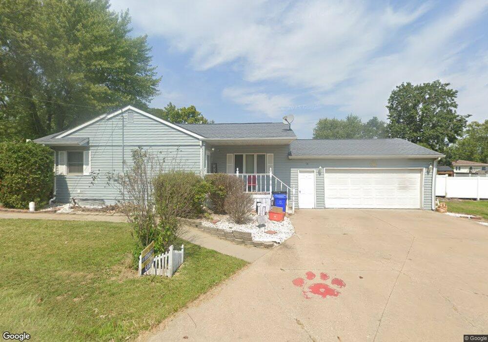
102 N Johnson Ave Ottumwa, IA 52501
Estimated Value: $145,000 - $154,848
3
Beds
2
Baths
1,056
Sq Ft
$142/Sq Ft
Est. Value
About This Home
This home is located at 102 N Johnson Ave, Ottumwa, IA 52501 and is currently estimated at $150,212, approximately $142 per square foot. 102 N Johnson Ave is a home located in Wapello County with nearby schools including Liberty Elementary School, Douma Elementary School, and Evans Middle School.
Ownership History
Date
Name
Owned For
Owner Type
Purchase Details
Closed on
Aug 15, 2019
Sold by
Pickrell Janice Ruth Est
Bought by
Pickrell Ryne K and Pickrell Katelynn N
Current Estimated Value
Home Financials for this Owner
Home Financials are based on the most recent Mortgage that was taken out on this home.
Original Mortgage
$95,000
Outstanding Balance
$83,373
Interest Rate
3.8%
Mortgage Type
New Conventional
Estimated Equity
$66,839
Create a Home Valuation Report for This Property
The Home Valuation Report is an in-depth analysis detailing your home's value as well as a comparison with similar homes in the area
Home Values in the Area
Average Home Value in this Area
Purchase History
| Date | Buyer | Sale Price | Title Company |
|---|---|---|---|
| Pickrell Ryne K | -- | -- |
Source: Public Records
Mortgage History
| Date | Status | Borrower | Loan Amount |
|---|---|---|---|
| Open | Pickrell Ryne K | $95,000 |
Source: Public Records
Tax History Compared to Growth
Tax History
| Year | Tax Paid | Tax Assessment Tax Assessment Total Assessment is a certain percentage of the fair market value that is determined by local assessors to be the total taxable value of land and additions on the property. | Land | Improvement |
|---|---|---|---|---|
| 2025 | $2,800 | $136,580 | $8,400 | $128,180 |
| 2024 | $2,800 | $129,130 | $8,400 | $120,730 |
| 2023 | $2,440 | $129,130 | $8,400 | $120,730 |
| 2022 | $2,438 | $102,090 | $8,400 | $93,690 |
| 2021 | $2,438 | $96,040 | $8,400 | $87,640 |
| 2020 | $2,288 | $89,000 | $8,400 | $80,600 |
| 2019 | $2,028 | $89,000 | $0 | $0 |
| 2018 | $1,960 | $89,000 | $0 | $0 |
| 2017 | $1,960 | $89,000 | $0 | $0 |
| 2016 | $1,544 | $73,783 | $0 | $0 |
| 2015 | $1,546 | $73,783 | $0 | $0 |
| 2014 | $1,520 | $73,783 | $0 | $0 |
Source: Public Records
Map
Nearby Homes
- 1401 W Finley Ave
- 1410 W Finley Ave
- 1508 Hamilton St
- 117 Lynwood Ave
- 120 Shaul Ave
- 9 Kingsley Dr
- 1005 Hamilton St
- 448 Mckinley Ave
- 513 Lynwood Cir
- 138 Minnesota St
- 420 S Ferry St
- 1018 W Mary St
- 439 Wildwood Dr
- 1923 Richmond Ave
- 433 W Finley Ave
- 745 Pocahontas Ln
- 1322 Mowrey Ave
- 319 Hamilton St
- 314 Hamilton St
- 1507 Mowrey Ave
- 108 N Johnson Ave
- 112 N Johnson Ave
- 1402 W Finley Ave
- 1330 W Finley Ave
- 116 N Johnson Ave
- 1309 W Finley Ave
- 115 N Johnson Ave
- 120 N Johnson Ave
- 1304 W Finley Ave
- 1303 W Finley Ave
- 1409 W Finley Ave
- 122 N Johnson Ave
- 1406 W Finley Ave
- 123 N Johnson Ave
- 1304 Hamilton St
- 204 N Johnson Ave
- 1225 W Finley Ave
- 203 N Johnson Ave
- 1420 Hamilton St
- 1222 Hamilton St