102 N Maple Cincinnati, IA 52549
Estimated Value: $78,887 - $142,000
2
Beds
1
Bath
1,192
Sq Ft
$93/Sq Ft
Est. Value
About This Home
This home is located at 102 N Maple, Cincinnati, IA 52549 and is currently estimated at $110,444, approximately $92 per square foot. 102 N Maple is a home located in Appanoose County with nearby schools including Centerville High School.
Create a Home Valuation Report for This Property
The Home Valuation Report is an in-depth analysis detailing your home's value as well as a comparison with similar homes in the area
Tax History
We collect this data history from publicly available records. To have your information removed, we recommend requesting removal directly through your county’s website.
| Year | Tax Paid | Tax Assessment Tax Assessment Total Assessment is a certain percentage of the fair market value that is determined by local assessors to be the total taxable value of land and additions on the property. | Land | Improvement |
|---|---|---|---|---|
| 2025 | $8 | $490 | $490 | $0 |
| 2024 | $8 | $430 | $430 | $0 |
| 2023 | $8 | $430 | $430 | $0 |
| 2022 | $8 | $330 | $330 | $0 |
| 2021 | $8 | $330 | $330 | $0 |
| 2020 | $6 | $260 | $260 | $0 |
| 2019 | $6 | $260 | $0 | $0 |
| 2018 | $6 | $260 | $0 | $0 |
| 2017 | $600 | $230 | $0 | $0 |
| 2016 | $6 | $230 | $0 | $0 |
| 2015 | $6 | $230 | $0 | $0 |
| 2014 | $6 | $230 | $0 | $0 |
Source: Public Records
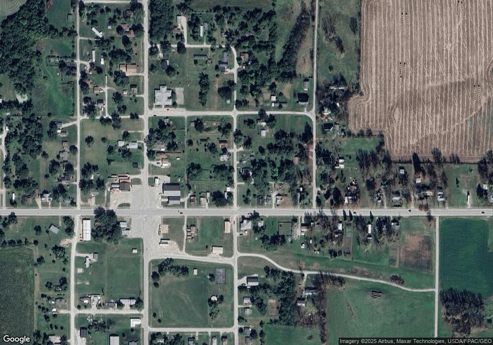
Map
Nearby Homes
- 208 W Pleasant
- 211 N Liberty St
- 213 S Maple
- 407 W Pleasant
- 28432 203rd Ave
- 20502 578th St
- 0 605th St
- 26936 Highway T30
- 0 230th Ave
- 23332 590th St
- 206 W Main St
- 23275 579th St
- 18745 Highway J46
- 101 Coal Valley Ln
- 104 Main St N
- 206 Main St N
- 109 Garfield St E
- 230th Avenue
- 24162 163rd Ave
- 88 Ac 305th Rd
Your Personal Tour Guide
Ask me questions while you tour the home.