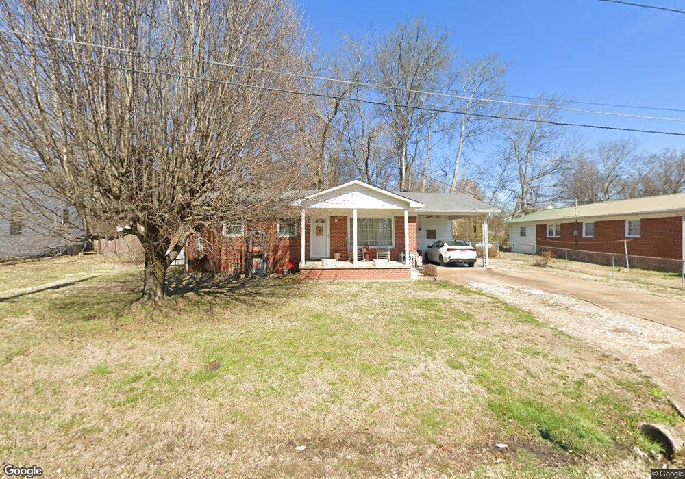
102 Pope St Waynesboro, TN 38485
Estimated Value: $93,535 - $154,000
Studio
1
Bath
925
Sq Ft
$131/Sq Ft
Est. Value
About This Home
This home is located at 102 Pope St, Waynesboro, TN 38485 and is currently estimated at $121,634, approximately $131 per square foot. 102 Pope St is a home located in Wayne County with nearby schools including Wayne Academy.
Ownership History
Date
Name
Owned For
Owner Type
Purchase Details
Closed on
Mar 17, 2014
Sold by
Long Donald L
Bought by
Brown Raleigh G
Current Estimated Value
Purchase Details
Closed on
May 19, 2003
Sold by
Community South Bank
Bought by
Brewer Mark B
Home Financials for this Owner
Home Financials are based on the most recent Mortgage that was taken out on this home.
Original Mortgage
$14,730
Interest Rate
5.79%
Purchase Details
Closed on
Jun 23, 1999
Sold by
Brown Doris L
Bought by
Long Donald A
Purchase Details
Closed on
Oct 12, 1972
Bought by
Brown Doris L
Create a Home Valuation Report for This Property
The Home Valuation Report is an in-depth analysis detailing your home's value as well as a comparison with similar homes in the area
Purchase History
| Date | Buyer | Sale Price | Title Company |
|---|---|---|---|
| Brown Raleigh G | -- | -- | |
| Brewer Mark B | $14,500 | -- | |
| Long Donald A | -- | -- | |
| Brown Doris L | -- | -- |
Source: Public Records
Mortgage History
| Date | Status | Borrower | Loan Amount |
|---|---|---|---|
| Previous Owner | Brown Doris L | $14,730 |
Source: Public Records
Tax History
| Year | Tax Paid | Tax Assessment Tax Assessment Total Assessment is a certain percentage of the fair market value that is determined by local assessors to be the total taxable value of land and additions on the property. | Land | Improvement |
|---|---|---|---|---|
| 2025 | $380 | $23,150 | $1,450 | $21,700 |
| 2024 | $318 | $14,650 | $1,000 | $13,650 |
| 2023 | $456 | $14,650 | $1,000 | $13,650 |
| 2022 | $456 | $14,650 | $1,000 | $13,650 |
| 2021 | $386 | $14,650 | $1,000 | $13,650 |
| 2020 | $386 | $10,300 | $1,000 | $9,300 |
| 2019 | $298 | $10,300 | $1,000 | $9,300 |
| 2018 | $386 | $10,300 | $1,000 | $9,300 |
| 2017 | $386 | $10,300 | $1,000 | $9,300 |
| 2016 | $360 | $10,300 | $1,000 | $9,300 |
| 2014 | $374 | $10,633 | $0 | $0 |
Source: Public Records
Map
Nearby Homes
- 308 S High St
- 214 Mcwilliams St
- 202 Morris St
- 112 N High St
- 209 Mathews St
- 500 Highway 64 W
- 123 Brewer Dr
- 310 W Hill St
- 0 Walker Rd Unit RTC3143340
- 130 Sage Ln
- 0 Waynesboro Hwy Unit RTC2991221
- 414 Edward St
- 0B Waynesboro Hwy
- 0A Waynesboro Hwy
- 0D Waynesboro Hwy
- 0C Waynesboro Hwy
- 413 Market St
- 120 Wallace Dr
- 705 Hurricane Hill Dr
- 951 State Highway 99
Your Personal Tour Guide
Ask me questions while you tour the home.