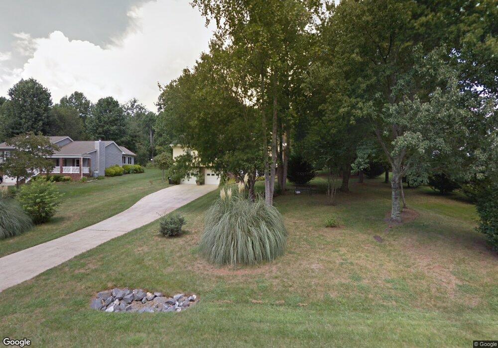
102 Rachel St Morganton, NC 28655
Estimated Value: $309,000 - $399,000
2
Beds
2
Baths
2,034
Sq Ft
$165/Sq Ft
Est. Value
About This Home
This home is located at 102 Rachel St, Morganton, NC 28655 and is currently estimated at $336,232, approximately $165 per square foot. 102 Rachel St is a home located in Burke County with nearby schools including Drexel Elementary School, Heritage Middle School, and Jimmy C. Draughn High School.
Ownership History
Date
Name
Owned For
Owner Type
Purchase Details
Closed on
Dec 11, 2013
Sold by
Benfield Larry Ray and Benfield Carolyn L
Bought by
Mehmood Sohail and Sohail Abida
Current Estimated Value
Home Financials for this Owner
Home Financials are based on the most recent Mortgage that was taken out on this home.
Original Mortgage
$175,510
Outstanding Balance
$130,767
Interest Rate
4.13%
Mortgage Type
New Conventional
Estimated Equity
$205,465
Create a Home Valuation Report for This Property
The Home Valuation Report is an in-depth analysis detailing your home's value as well as a comparison with similar homes in the area
Home Values in the Area
Average Home Value in this Area
Purchase History
| Date | Buyer | Sale Price | Title Company |
|---|---|---|---|
| Mehmood Sohail | $172,000 | None Available |
Source: Public Records
Mortgage History
| Date | Status | Borrower | Loan Amount |
|---|---|---|---|
| Open | Mehmood Sohail | $175,510 |
Source: Public Records
Tax History
| Year | Tax Paid | Tax Assessment Tax Assessment Total Assessment is a certain percentage of the fair market value that is determined by local assessors to be the total taxable value of land and additions on the property. | Land | Improvement |
|---|---|---|---|---|
| 2025 | $1,750 | $253,203 | $30,550 | $222,653 |
| 2024 | $1,759 | $253,203 | $30,550 | $222,653 |
| 2023 | $1,759 | $253,203 | $30,550 | $222,653 |
| 2022 | $1,534 | $187,782 | $28,200 | $159,582 |
| 2021 | $1,528 | $187,782 | $28,200 | $159,582 |
| 2020 | $1,524 | $187,782 | $28,200 | $159,582 |
| 2019 | $1,524 | $187,782 | $28,200 | $159,582 |
| 2018 | $1,191 | $144,738 | $23,500 | $121,238 |
| 2017 | $1,189 | $144,738 | $23,500 | $121,238 |
| 2016 | $1,162 | $144,738 | $23,500 | $121,238 |
| 2015 | $1,159 | $144,738 | $23,500 | $121,238 |
| 2014 | $1,158 | $144,738 | $23,500 | $121,238 |
| 2013 | $1,158 | $144,738 | $23,500 | $121,238 |
Source: Public Records
Map
Nearby Homes
- 1919 Highway 70 E
- 102 Bayern Crest Unit 6
- 1855 Eastbrook Cir
- 2088 E Winds Ave
- 2169 E Winds Ave
- 108 Ones Branch Ct
- 350 Summers Rd
- 1401 E Union St
- 203 Heritage Ln
- 0 Amherst Rd
- 1307 E Union St
- 303 Constitution Dr
- 102 Castlegate Dr
- 2290 U S 70
- 105 Woodlawn Dr
- 2715 Moose Lodge St
- 2986 Green Pasture Ln
- 106 Pinebark Ct
- 104 Ivy Ct
- 102 Ivy Ct
- 208 New Orleans Blvd
- 104 Rachel St
- 206 New Orleans Blvd
- 106 Rachel St
- 105 Jacksons Run
- 204 New Orleans Blvd
- 213 New Orleans Blvd
- 300 New Orleans Blvd
- 105 Rachel St
- 211 New Orleans Blvd
- 103 Jacksons Run
- 301 New Orleans Blvd
- 201 Jacksons Run
- 303 New Orleans Blvd
- 202 New Orleans Blvd
- 209 New Orleans Blvd
- 101 Jacksons Run
- 106 Jacksons Run
- 302 New Orleans Blvd
- 108 Jacksons Run
Your Personal Tour Guide
Ask me questions while you tour the home.