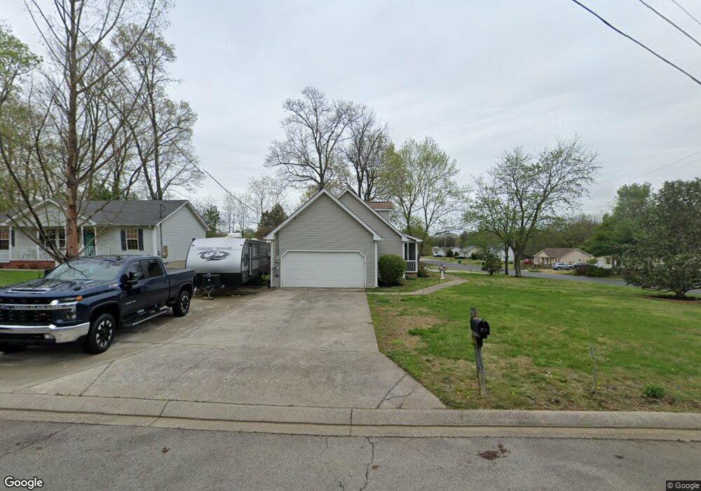
102 Ruth Ln La Vergne, TN 37086
Estimated Value: $336,698 - $361,000
--
Bed
2
Baths
1,856
Sq Ft
$191/Sq Ft
Est. Value
About This Home
This home is located at 102 Ruth Ln, La Vergne, TN 37086 and is currently estimated at $354,175, approximately $190 per square foot. 102 Ruth Ln is a home located in Rutherford County with nearby schools including LaVergne Lake Elementary School, La Vergne Middle School, and Lavergne High School.
Ownership History
Date
Name
Owned For
Owner Type
Purchase Details
Closed on
Dec 15, 2004
Sold by
Domenico Richard C
Bought by
Means Donald G and Means Evelyn S
Current Estimated Value
Home Financials for this Owner
Home Financials are based on the most recent Mortgage that was taken out on this home.
Original Mortgage
$111,900
Outstanding Balance
$61,474
Interest Rate
6.25%
Mortgage Type
Purchase Money Mortgage
Estimated Equity
$292,701
Purchase Details
Closed on
Feb 13, 2003
Sold by
Blossom Frank R and Blossom Michelle R
Bought by
Jared Sue C
Purchase Details
Closed on
Aug 9, 1999
Sold by
Lowe'S Home Centers Inc
Bought by
Dcm Lowmurf Llc
Purchase Details
Closed on
Oct 28, 1993
Sold by
Amnon Shreibman
Bought by
Holigan Family Investments
Create a Home Valuation Report for This Property
The Home Valuation Report is an in-depth analysis detailing your home's value as well as a comparison with similar homes in the area
Home Values in the Area
Average Home Value in this Area
Purchase History
| Date | Buyer | Sale Price | Title Company |
|---|---|---|---|
| Means Donald G | $139,900 | -- | |
| Jared Sue C | $69,000 | -- | |
| Dcm Lowmurf Llc | $3,275,000 | -- | |
| Holigan Family Investments | -- | -- |
Source: Public Records
Mortgage History
| Date | Status | Borrower | Loan Amount |
|---|---|---|---|
| Open | Holigan Family Investments | $111,900 | |
| Closed | Holigan Family Investments | $27,900 |
Source: Public Records
Tax History Compared to Growth
Tax History
| Year | Tax Paid | Tax Assessment Tax Assessment Total Assessment is a certain percentage of the fair market value that is determined by local assessors to be the total taxable value of land and additions on the property. | Land | Improvement |
|---|---|---|---|---|
| 2025 | $1,825 | $75,625 | $13,750 | $61,875 |
| 2024 | $1,825 | $74,225 | $13,750 | $60,475 |
| 2023 | $1,393 | $74,225 | $13,750 | $60,475 |
| 2022 | $1,200 | $74,225 | $13,750 | $60,475 |
| 2021 | $1,261 | $56,800 | $10,000 | $46,800 |
| 2020 | $1,261 | $56,800 | $10,000 | $46,800 |
| 2019 | $1,261 | $56,800 | $10,000 | $46,800 |
| 2018 | $1,595 | $56,800 | $0 | $0 |
| 2017 | $1,227 | $33,800 | $0 | $0 |
| 2016 | $1,227 | $33,800 | $0 | $0 |
| 2015 | $1,236 | $33,800 | $0 | $0 |
| 2014 | $841 | $33,800 | $0 | $0 |
| 2013 | -- | $31,225 | $0 | $0 |
Source: Public Records
Map
Nearby Homes
- 120 Bill Stewart Blvd
- 121 Hidden Forest Ln
- 534 Cedar Park Cir
- 603 Hollandale Rd
- 205 Clearlake Dr
- 618 Cedar Bend Ln
- 166 Oasis Dr
- 164 Oasis Dr
- 160 Oasis Dr
- 154 Oasis Dr
- 1114 Phelissa Dr
- 603 E Lake Cove
- 699 Hollandale Rd
- 1321 Tonya Dr
- 1529 Waxman Dr
- 1626 Jo Ann Dr
- 630 Holland Ridge Dr
- 507 Jerald Smith Ln
- 1610 Jo Ann Dr
- 221 Quiet Ln
- 104 Ruth Ln
- 103 Drennan Ln
- 105 Drennan Ln
- 106 Ruth Ln
- 103 Ruth Ln
- 129 Bill Stewart Blvd
- 105 Ruth Ln
- 107 Drennan Ln
- 131 Bill Stewart Blvd
- 127 Bill Stewart Blvd
- 107 Ruth Ln
- 108 Ruth Ln
- 133 Bill Stewart Blvd
- 109 Drennan Ln
- 102 Drennan Ln
- 102 Redbud Ln
- 125 Bill Stewart Blvd
- 104 Drennan Ln
- 109 Ruth Ln
- 135 Bill Stewart Blvd