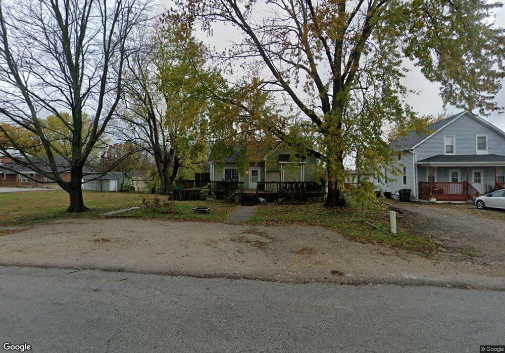
102 S 2nd St Lansing, KS 66043
Estimated Value: $160,000 - $196,000
2
Beds
1
Bath
1,209
Sq Ft
$142/Sq Ft
Est. Value
About This Home
This home is located at 102 S 2nd St, Lansing, KS 66043 and is currently estimated at $172,019, approximately $142 per square foot. 102 S 2nd St is a home located in Leavenworth County with nearby schools including Lansing Elementary School, Lansing Middle 6-8, and Lansing High 9-12.
Ownership History
Date
Name
Owned For
Owner Type
Purchase Details
Closed on
May 26, 2022
Sold by
Spence Richard and Patterson-Spence Jennifer
Bought by
Spence Melanie D
Current Estimated Value
Home Financials for this Owner
Home Financials are based on the most recent Mortgage that was taken out on this home.
Original Mortgage
$101,750
Outstanding Balance
$97,587
Interest Rate
6.25%
Mortgage Type
FHA
Estimated Equity
$74,432
Purchase Details
Closed on
Mar 1, 1999
Bought by
Spence Richard and Spence Melanie D
Home Financials for this Owner
Home Financials are based on the most recent Mortgage that was taken out on this home.
Original Mortgage
$3,612
Interest Rate
6.89%
Mortgage Type
New Conventional
Create a Home Valuation Report for This Property
The Home Valuation Report is an in-depth analysis detailing your home's value as well as a comparison with similar homes in the area
Home Values in the Area
Average Home Value in this Area
Purchase History
| Date | Buyer | Sale Price | Title Company |
|---|---|---|---|
| Spence Melanie D | -- | None Listed On Document | |
| Spence Richard | $52,500 | -- |
Source: Public Records
Mortgage History
| Date | Status | Borrower | Loan Amount |
|---|---|---|---|
| Open | Spence Melanie D | $101,750 | |
| Previous Owner | Spence Richard | $3,612 |
Source: Public Records
Tax History Compared to Growth
Tax History
| Year | Tax Paid | Tax Assessment Tax Assessment Total Assessment is a certain percentage of the fair market value that is determined by local assessors to be the total taxable value of land and additions on the property. | Land | Improvement |
|---|---|---|---|---|
| 2025 | $1,701 | $14,403 | $1,919 | $12,484 |
| 2024 | $1,619 | $13,462 | $1,919 | $11,543 |
| 2023 | $1,619 | $12,945 | $1,837 | $11,108 |
| 2022 | $1,558 | $11,768 | $1,664 | $10,104 |
| 2021 | $3,496 | $9,347 | $1,664 | $7,683 |
| 2020 | $3,035 | $8,129 | $1,664 | $6,465 |
| 2019 | $2,821 | $8,129 | $1,664 | $6,465 |
| 2018 | $2,728 | $7,253 | $1,664 | $5,589 |
| 2017 | $2,547 | $6,609 | $1,664 | $4,945 |
| 2016 | $2,505 | $6,543 | $1,664 | $4,879 |
| 2015 | $1,894 | $6,543 | $1,664 | $4,879 |
| 2014 | $2,186 | $6,543 | $1,664 | $4,879 |
Source: Public Records
Map
Nearby Homes
- 218 E Kay St
- 124 S Main St
- 202 S Main St
- 310 E Kansas Ave
- 306 E Kay St
- 546 Hithergreen Dr
- 129 Crestview Ct
- 104 Olive St
- 129 Brookwood St
- 521 Hillbrook Dr
- 522 Forestglen Ln
- 527 S Valley Dr
- 20958 Ida St
- 268 Holiday Dr
- 415 Fairlane St
- 922 Southfork St
- 1100 N 4th St
- 1102 N 4th St
- 1102 N Main St
- 603 E Beth St