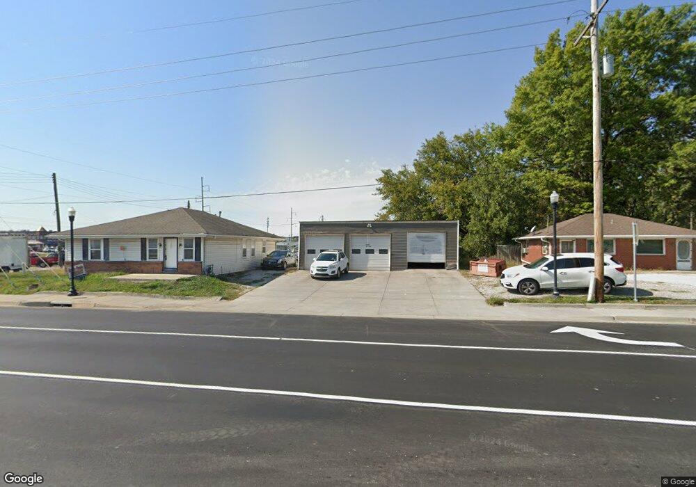
102 S Main St Grain Valley, MO 64029
2
Beds
1
Bath
4,000
Sq Ft
0.4
Acres
About This Home
This home is located at 102 S Main St, Grain Valley, MO 64029. 102 S Main St is a home located in Jackson County with nearby schools including Grain Valley High School.
Ownership History
Date
Name
Owned For
Owner Type
Purchase Details
Closed on
Oct 20, 1997
Sold by
Wilson Donna M and Wilson Hoehn L
Bought by
Wilson Donna M
Purchase Details
Closed on
Aug 20, 1996
Sold by
Brock Rozzie L and Wallace Juanita Ruth
Bought by
Wilson Donna M and Hoehn Dennis L
Purchase Details
Closed on
Nov 9, 1995
Sold by
Wallace Juanita Ruth
Bought by
Wallace Juanita Ruth and Brock Rozzie L
Home Financials for this Owner
Home Financials are based on the most recent Mortgage that was taken out on this home.
Original Mortgage
$68,000
Interest Rate
7.64%
Mortgage Type
Commercial
Create a Home Valuation Report for This Property
The Home Valuation Report is an in-depth analysis detailing your home's value as well as a comparison with similar homes in the area
Home Values in the Area
Average Home Value in this Area
Purchase History
| Date | Buyer | Sale Price | Title Company |
|---|---|---|---|
| Wilson Donna M | -- | Chicago Title Insurance Co | |
| Wilson Donna M | -- | Chicago Title Insurance Co | |
| Wallace Juanita Ruth | -- | Equity Title Company |
Source: Public Records
Mortgage History
| Date | Status | Borrower | Loan Amount |
|---|---|---|---|
| Previous Owner | Wallace Juanita Ruth | $68,000 |
Source: Public Records
Tax History Compared to Growth
Tax History
| Year | Tax Paid | Tax Assessment Tax Assessment Total Assessment is a certain percentage of the fair market value that is determined by local assessors to be the total taxable value of land and additions on the property. | Land | Improvement |
|---|---|---|---|---|
| 2025 | $5,417 | $53,721 | $32,899 | $20,822 |
| 2024 | $5,245 | $56,000 | $27,328 | $28,672 |
| 2023 | $5,245 | $56,000 | $27,328 | $28,672 |
| 2022 | $4,705 | $44,800 | $21,872 | $22,928 |
| 2021 | $4,610 | $44,800 | $21,872 | $22,928 |
| 2020 | $4,639 | $44,552 | $21,872 | $22,680 |
| 2019 | $4,558 | $44,552 | $21,872 | $22,680 |
| 2018 | $4,202 | $38,741 | $14,581 | $24,160 |
| 2017 | $4,202 | $38,741 | $14,581 | $24,160 |
| 2016 | $3,734 | $34,441 | $11,216 | $23,225 |
| 2014 | $3,759 | $38,701 | $15,476 | $23,225 |
Source: Public Records
Map
Nearby Homes
- 204 Young St
- 512 Broadway St
- 518 South St
- 408 Front St
- 618 NW Thieme St
- 805 NW Thieme St
- 207 Pebblebrook St
- 209 SW Cross Creek Dr
- 506 SW Meadowood Dr
- 2 Ooida Dr
- 621 SW Tisha Ln
- 709 SW Harvest Cir
- 604 SW Nelson Dr
- 601 SW Nelson Dr
- 808 SW Country Hill Dr
- 706 NW Green Dr
- 704 NW Eagle Dr
- 1007 NW Long Dr
- 605 NW Silverstone Cir
- 836 SW Lee Ann Dr
- 114 N Main St
- 112 N Main St
- 57 S Buckner Tarsney Rd
- 56 S Buckner Tarsney Rd
- 105 N Main St
- 103 Broadway St
- 105 Broadway St
- 200 S Main St
- 107 Broadway St
- 201 Gregg St
- 108 E Aa Hwy
- 108 E Mo-Aa Hwy
- 109 E Broadway St
- 203 Gregg St
- 200 Gregg St
- 109 Broadway St
- 202 S Main St
- 111 E Broadway St
- 112 E Mo Aa Hwy
- 202 Gregg St