102 Sarsi Cove Gainesville, TX 76240
Estimated Value: $882,000 - $1,529,000
3
Beds
3
Baths
3,044
Sq Ft
$403/Sq Ft
Est. Value
About This Home
This home is located at 102 Sarsi Cove, Gainesville, TX 76240 and is currently estimated at $1,225,708, approximately $402 per square foot. 102 Sarsi Cove is a home located in Cooke County with nearby schools including Callisburg Elementary School, Callisburg Middle School, and Callisburg High School.
Ownership History
Date
Name
Owned For
Owner Type
Purchase Details
Closed on
May 20, 2024
Sold by
Garner Garrett and Garner Leslie
Bought by
Ggtg Holdings Llc
Current Estimated Value
Purchase Details
Closed on
Nov 1, 2007
Sold by
Guest Johnie L and Guest Sydna A
Bought by
Garner Garrett and Garner Leslie
Home Financials for this Owner
Home Financials are based on the most recent Mortgage that was taken out on this home.
Original Mortgage
$417,000
Interest Rate
6.37%
Mortgage Type
New Conventional
Create a Home Valuation Report for This Property
The Home Valuation Report is an in-depth analysis detailing your home's value as well as a comparison with similar homes in the area
Home Values in the Area
Average Home Value in this Area
Purchase History
| Date | Buyer | Sale Price | Title Company |
|---|---|---|---|
| Ggtg Holdings Llc | -- | None Listed On Document | |
| Garner Garrett | -- | -- |
Source: Public Records
Mortgage History
| Date | Status | Borrower | Loan Amount |
|---|---|---|---|
| Previous Owner | Garner Garrett | $417,000 |
Source: Public Records
Tax History Compared to Growth
Tax History
| Year | Tax Paid | Tax Assessment Tax Assessment Total Assessment is a certain percentage of the fair market value that is determined by local assessors to be the total taxable value of land and additions on the property. | Land | Improvement |
|---|---|---|---|---|
| 2025 | $16,576 | $1,280,170 | $701,152 | $579,018 |
| 2024 | $16,576 | $1,312,331 | $733,306 | $579,025 |
| 2023 | $14,149 | $1,108,275 | $429,672 | $678,603 |
| 2022 | $14,395 | $970,447 | $396,953 | $573,494 |
| 2021 | $13,015 | $711,698 | $307,281 | $404,417 |
| 2020 | $13,804 | $708,306 | $279,330 | $428,976 |
| 2019 | $11,804 | $605,868 | $245,528 | $360,340 |
| 2018 | $10,980 | $560,541 | $236,860 | $323,681 |
| 2017 | $10,633 | $537,828 | $218,609 | $319,219 |
| 2015 | $10,083 | $526,017 | $218,609 | $307,408 |
| 2014 | $10,083 | $523,435 | $218,609 | $304,826 |
Source: Public Records
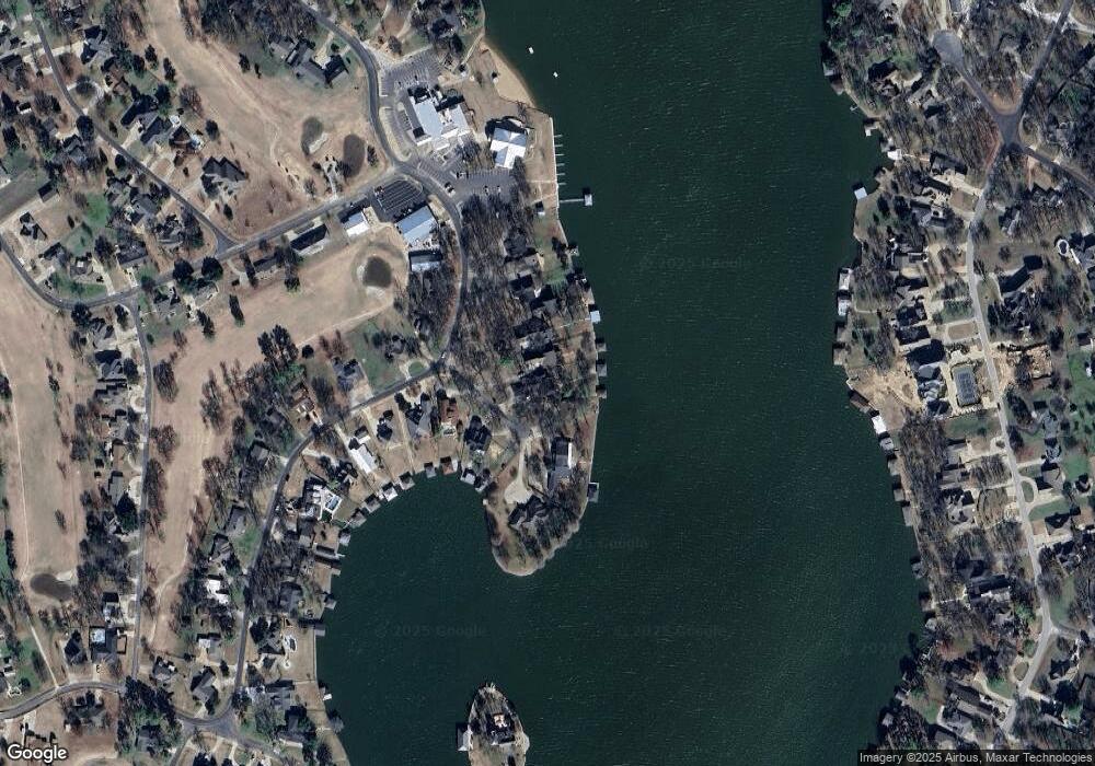
Map
Nearby Homes
- 912 Kiowa Dr W
- 117 Modoc Trail
- 102 Huron Trail
- 100 Huron Trail
- 736 Kiowa Dr W
- 116 Modoc Trail
- 734 Kiowa Dr W
- 702 Kiowa Dr W
- 1107 Kiowa Dr E
- 206 Modoc Trail
- 615 Kiowa Dr W
- 102 Bowie Cove
- 230 Navajo Trail
- 122 Comanche Dr
- 111 Bowie Dr
- 1214 Kiowa Dr E
- 300 Navajo Trail
- 1125 Kiowa Dr E
- 103 Bowie Dr
- 205 San Chez Dr
- 100 Sarsi Cove
- 823 Kiowa Dr W
- 104 Sarsi Cove
- 825 Kiowa Dr W
- 106 Sarsi Cove
- 103 Sarsi Cove
- 827 Kiowa Dr W
- 101 Sarsi Cove
- 829 Kiowa Dr W
- 822 Kiowa Crossing W
- 831 Kiowa Dr W
- 826 Kiowa Dr W
- 828 Kiowa Dr W
- 824 Kiowa Dr W
- 107 Sarsi Cove
- 819 Kiowa Dr W
- 820 Kiowa Dr W
- 817 Kiowa Dr W
- 815 Kiowa Dr W
- 813 Kiowa Dr W