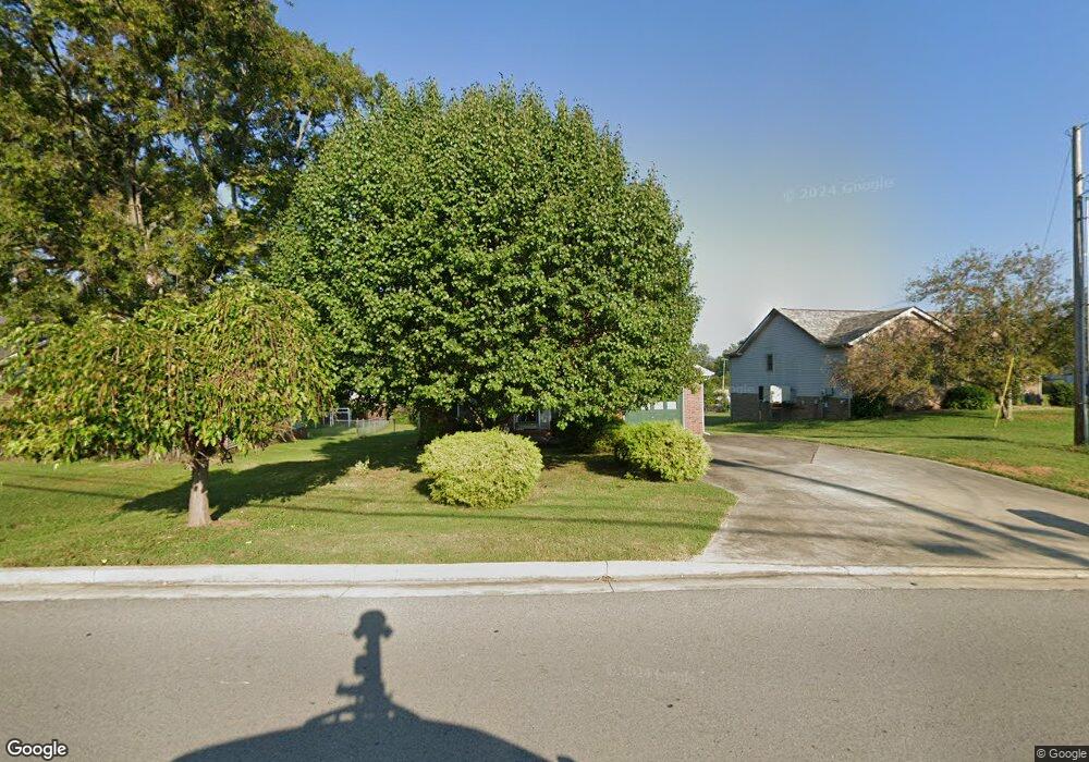
102 Shady Maple Dr Clarksville, TN 37043
Estimated Value: $237,804 - $272,000
--
Bed
2
Baths
1,204
Sq Ft
$213/Sq Ft
Est. Value
About This Home
This home is located at 102 Shady Maple Dr, Clarksville, TN 37043 and is currently estimated at $256,201, approximately $212 per square foot. 102 Shady Maple Dr is a home located in Montgomery County with nearby schools including East Montgomery Elementary School, Richview Middle School, and Clarksville High School.
Ownership History
Date
Name
Owned For
Owner Type
Purchase Details
Closed on
Apr 15, 2008
Sold by
Alvis Marty R
Bought by
State Of Tennessee
Current Estimated Value
Purchase Details
Closed on
Oct 22, 1999
Sold by
Long Scott J
Bought by
Alvis Marty R
Purchase Details
Closed on
Oct 25, 1996
Sold by
Terry Pendergrass
Bought by
Scott Long
Home Financials for this Owner
Home Financials are based on the most recent Mortgage that was taken out on this home.
Original Mortgage
$78,030
Interest Rate
8.13%
Create a Home Valuation Report for This Property
The Home Valuation Report is an in-depth analysis detailing your home's value as well as a comparison with similar homes in the area
Home Values in the Area
Average Home Value in this Area
Purchase History
| Date | Buyer | Sale Price | Title Company |
|---|---|---|---|
| State Of Tennessee | $400 | -- | |
| Alvis Marty R | $83,625 | -- | |
| Scott Long | $76,500 | -- |
Source: Public Records
Mortgage History
| Date | Status | Borrower | Loan Amount |
|---|---|---|---|
| Previous Owner | Scott Long | $78,030 |
Source: Public Records
Tax History Compared to Growth
Tax History
| Year | Tax Paid | Tax Assessment Tax Assessment Total Assessment is a certain percentage of the fair market value that is determined by local assessors to be the total taxable value of land and additions on the property. | Land | Improvement |
|---|---|---|---|---|
| 2024 | $1,784 | $59,875 | $0 | $0 |
| 2023 | $1,784 | $35,600 | $0 | $0 |
| 2022 | $1,064 | $35,600 | $0 | $0 |
| 2021 | $1,064 | $35,600 | $0 | $0 |
| 2020 | $1,431 | $35,600 | $0 | $0 |
| 2019 | $1,431 | $35,600 | $0 | $0 |
| 2018 | $1,290 | $25,875 | $0 | $0 |
| 2017 | $371 | $29,950 | $0 | $0 |
| 2016 | $953 | $29,950 | $0 | $0 |
| 2015 | $1,309 | $31,050 | $0 | $0 |
| 2014 | $1,291 | $31,050 | $0 | $0 |
| 2013 | $1,278 | $29,175 | $0 | $0 |
Source: Public Records
Map
Nearby Homes
- 135 Excell Rd Unit 1003
- 135 Excell Rd Unit 102
- 156 Excell Rd Unit 20
- 92 Whitman Crossing
- 99 Whitman Crossing
- 184 Whitman Alley
- 153 Old Farmers Rd
- 276 Dorchester Cir
- 182 Dorchester Cir
- 126 Turn Row Dr
- 118 Whitman Crossing
- 188 Whitman Alley
- 262 Kathleen Ct
- 152 Shady Maple Dr
- 182 Dundee Dr
- 2589 Stone Briar Dr
- 166 E Regent Dr
- 187 Dundee Dr
- 2630 Madison St
- 155 Archgate Ct
- 104 Shady Maple Dr
- 100 Shady Maple Dr
- 106 Shady Maple Dr
- 2800 Highway 41a S
- 2807 Madison St
- 103 Shady Maple Dr
- 108 Shady Maple Dr
- 105 Shady Maple Dr
- 107 Shady Maple Dr
- 110 Shady Maple Dr
- 109 Shady Maple Dr
- 2807 Old Sango Rd
- 112 Shady Maple Dr
- 2813 Old Sango Rd
- 107 W Regent Dr
- 111 Shady Maple Dr
- 2819 Old Sango Rd
- 2825 Highway 41a S
- 2825 Highway 41-A S
- 2825 Highway 41a S