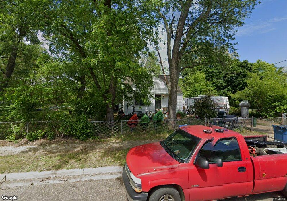
102 Somerset Ave Battle Creek, MI 49037
North Central NeighborhoodEstimated Value: $83,000 - $118,000
4
Beds
1
Bath
1,332
Sq Ft
$73/Sq Ft
Est. Value
About This Home
This home is located at 102 Somerset Ave, Battle Creek, MI 49037 and is currently estimated at $97,326, approximately $73 per square foot. 102 Somerset Ave is a home located in Calhoun County with nearby schools including Ann J. Kellogg School, Northwestern Middle School, and Battle Creek Central High School.
Ownership History
Date
Name
Owned For
Owner Type
Purchase Details
Closed on
May 22, 2008
Sold by
U S Bank Na
Bought by
Abbott Brandy R
Current Estimated Value
Home Financials for this Owner
Home Financials are based on the most recent Mortgage that was taken out on this home.
Original Mortgage
$25,000
Outstanding Balance
$15,940
Interest Rate
6.01%
Mortgage Type
Purchase Money Mortgage
Estimated Equity
$81,386
Purchase Details
Closed on
Mar 30, 2007
Sold by
Thompson Maeola
Bought by
U S Bank Na and Structured Asset Securities Corp Series
Purchase Details
Closed on
Jul 24, 2002
Sold by
Thompson Cal
Create a Home Valuation Report for This Property
The Home Valuation Report is an in-depth analysis detailing your home's value as well as a comparison with similar homes in the area
Home Values in the Area
Average Home Value in this Area
Purchase History
| Date | Buyer | Sale Price | Title Company |
|---|---|---|---|
| Abbott Brandy R | $25,000 | Rels Title | |
| U S Bank Na | $86,636 | None Available | |
| -- | -- | -- |
Source: Public Records
Mortgage History
| Date | Status | Borrower | Loan Amount |
|---|---|---|---|
| Open | Abbott Brandy R | $25,000 |
Source: Public Records
Tax History Compared to Growth
Tax History
| Year | Tax Paid | Tax Assessment Tax Assessment Total Assessment is a certain percentage of the fair market value that is determined by local assessors to be the total taxable value of land and additions on the property. | Land | Improvement |
|---|---|---|---|---|
| 2025 | -- | $43,700 | $0 | $0 |
| 2024 | $837 | $34,290 | $0 | $0 |
| 2023 | $956 | $29,555 | $0 | $0 |
| 2022 | $756 | $26,062 | $0 | $0 |
| 2021 | $902 | $19,310 | $0 | $0 |
| 2020 | $941 | $20,546 | $0 | $0 |
| 2019 | $937 | $19,934 | $0 | $0 |
| 2018 | $937 | $20,684 | $535 | $20,149 |
| 2017 | $909 | $22,164 | $0 | $0 |
| 2016 | $907 | $23,543 | $0 | $0 |
| 2015 | $889 | $25,091 | $2,620 | $22,471 |
| 2014 | $889 | $19,286 | $2,620 | $16,666 |
Source: Public Records
Map
Nearby Homes
- 89 Somerset Ave
- 69 Jordan St
- 253 Greenwood Ave
- 60 Graves Ave
- 629 Van Buren St W
- 167 Hubbard St
- 224 Hubbard St
- 562 Van Buren St W
- 0 W Vanburen 027 St Unit 22040287
- 0 W Vanburen 025 St Unit 22040286
- 0 W Michigan 011 Ave Unit 22040285
- 35 Hubbard St
- 0 W Michigan 010 Ave Unit 22040284
- 0 W Vanburen 032 St Unit 22040288
- 636 Hamblin Ave W
- 0 W Ave Unit 22040282
- 0 W Michigan 005 Ave Unit 22040281
- 188 Roseneath Ave
- 9 Thorne St
- 216 Kendall St N
- 98 Somerset Ave
- 455 Parkway Dr
- 447 Parkway Dr
- 79 Plymouth Ave
- 88 Somerset Ave
- 118 Somerset Ave
- 103 Somerset Ave
- 97 Somerset Ave
- 79 Plymouth St
- 111 Somerset Ave
- 93 Somerset Ave
- 67 Plymouth Ave
- 119 Somerset Ave
- 124 Somerset Ave
- 65 Plymouth Ave
- 78 Somerset Ave
- 129 Somerset Ave
- 182 Graves Ave
- 172 Graves Ave
- 81 Somerset Ave