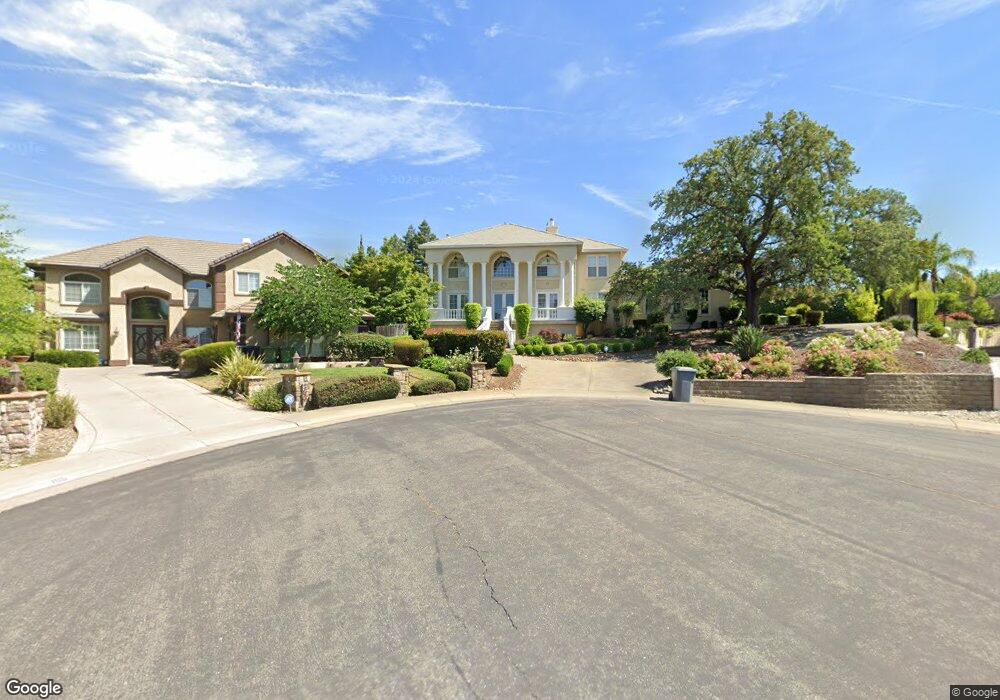
102 Soukup Ct Folsom, CA 95630
Prairie Oaks NeighborhoodEstimated Value: $901,000 - $1,128,000
4
Beds
3
Baths
2,787
Sq Ft
$364/Sq Ft
Est. Value
About This Home
This home is located at 102 Soukup Ct, Folsom, CA 95630 and is currently estimated at $1,015,247, approximately $364 per square foot. 102 Soukup Ct is a home located in Sacramento County with nearby schools including Sandra J. Gallardo Elementary School, Sutter Middle School, and Folsom High School.
Ownership History
Date
Name
Owned For
Owner Type
Purchase Details
Closed on
Jul 17, 2013
Sold by
Yee Cary B and Yee Victoria
Bought by
Yee Cary B and Yee Victoria
Current Estimated Value
Purchase Details
Closed on
Apr 29, 1994
Sold by
Morrison Homes
Bought by
Yee Cary B and Yee Victoria
Home Financials for this Owner
Home Financials are based on the most recent Mortgage that was taken out on this home.
Original Mortgage
$250,000
Interest Rate
7.79%
Create a Home Valuation Report for This Property
The Home Valuation Report is an in-depth analysis detailing your home's value as well as a comparison with similar homes in the area
Home Values in the Area
Average Home Value in this Area
Purchase History
| Date | Buyer | Sale Price | Title Company |
|---|---|---|---|
| Yee Cary B | -- | None Available | |
| Yee Cary B | $89,000 | Founders Title Company |
Source: Public Records
Mortgage History
| Date | Status | Borrower | Loan Amount |
|---|---|---|---|
| Closed | Yee Cary B | $206,000 | |
| Closed | Yee Cary B | $250,000 |
Source: Public Records
Tax History Compared to Growth
Tax History
| Year | Tax Paid | Tax Assessment Tax Assessment Total Assessment is a certain percentage of the fair market value that is determined by local assessors to be the total taxable value of land and additions on the property. | Land | Improvement |
|---|---|---|---|---|
| 2025 | $6,006 | $557,998 | $151,253 | $406,745 |
| 2024 | $6,006 | $547,058 | $148,288 | $398,770 |
| 2023 | $5,900 | $536,332 | $145,381 | $390,951 |
| 2022 | $5,814 | $525,817 | $142,531 | $383,286 |
| 2021 | $5,737 | $515,508 | $139,737 | $375,771 |
| 2020 | $5,667 | $510,223 | $138,305 | $371,918 |
| 2019 | $5,573 | $500,220 | $135,594 | $364,626 |
| 2018 | $5,436 | $490,413 | $132,936 | $357,477 |
| 2017 | $5,077 | $480,798 | $130,330 | $350,468 |
| 2016 | $5,298 | $471,372 | $127,775 | $343,597 |
| 2015 | $5,123 | $464,292 | $125,856 | $338,436 |
| 2014 | $4,867 | $455,198 | $123,391 | $331,807 |
Source: Public Records
Map
Nearby Homes
- 102 Black Gold Ln
- 721 Bluestone Cir
- 0 Figueroa St Unit 225034113
- 757 Hatherden Ct
- 1205 Albrighton Dr
- 100 Briarcliff Ct
- 101 Duxbury Way
- 222 Keller Cir
- 115 Winchester Ct
- 617 Wales Dr
- 260 Flower Dr
- 692 Humbert St
- 110 Fargo Way
- 860 Rathbone Cir
- 1121 Elderberry Cir
- 2314 Farndon Ct
- 1325 Tippens Way
- 106 Rhoades Way
- 167 Price Way
- 503 Given St
- 105 Soukup Ct
- 103 Pestle Ct
- 115 Woodsmoke Way
- 764 Bluestone Cir
- 117 Woodsmoke Way
- 768 Bluestone Cir
- 104 Pestle Ct
- 760 Bluestone Cir
- 772 Bluestone Cir
- 103 Soukup Ct
- 756 Bluestone Cir
- 119 Woodsmoke Way
- 776 Bluestone Cir
- 113 Woodsmoke Way
- 752 Bluestone Cir
- 780 Bluestone Cir
- 748 Bluestone Cir
- 1060 Cornerstone Dr
- 1071 Limestone Dr
- 784 Bluestone Cir