Estimated Value: $121,000
Studio
--
Bath
12,742
Sq Ft
$9/Sq Ft
Est. Value
About This Home
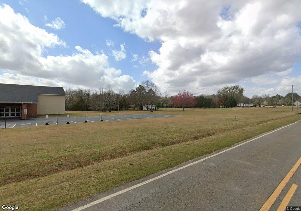
This home is located at 102 Todd Rd, Perry, GA 31069 and is currently priced at $121,000, approximately $9 per square foot. 102 Todd Rd is a home located in Houston County with nearby schools including Langston Road Elementary School, Mossy Creek Middle School, and Perry High School.
Ownership History
Date
Name
Owned For
Owner Type
Purchase Details
Closed on
Sep 25, 1997
Sold by
Parker Raymond F Etal
Bought by
Ga Dist Council Assemb Of God
Current Estimated Value
Purchase Details
Closed on
Jan 1, 1997
Sold by
Pb 29/31 Lot 2 Added To This Parcel
Bought by
Raymond F Parker Etal
Purchase Details
Closed on
May 13, 1985
Sold by
Sullivan Paul
Bought by
Parker Raymond F and Etheridge Derrel
Purchase Details
Closed on
Apr 3, 1984
Sold by
Johnson Richard A
Bought by
Sullivan Paul
Create a Home Valuation Report for This Property
The Home Valuation Report is an in-depth analysis detailing your home's value as well as a comparison with similar homes in the area
Home Values in the Area
Average Home Value in this Area
Purchase History
| Date | Buyer | Sale Price | Title Company |
|---|---|---|---|
| Ga Dist Council Assemb Of God | $40,000 | -- | |
| Raymond F Parker Etal | -- | -- | |
| Parker Raymond F | -- | -- | |
| Sullivan Paul | -- | -- |
Source: Public Records
Tax History
| Year | Tax Paid | Tax Assessment Tax Assessment Total Assessment is a certain percentage of the fair market value that is determined by local assessors to be the total taxable value of land and additions on the property. | Land | Improvement |
|---|---|---|---|---|
| 2024 | -- | $530,800 | $34,560 | $496,240 |
| 2023 | $0 | $525,560 | $30,280 | $495,280 |
| 2022 | $12,703 | $525,560 | $30,280 | $495,280 |
| 2021 | $12,670 | $517,760 | $19,200 | $498,560 |
| 2020 | $12,601 | $514,960 | $16,400 | $498,560 |
| 2019 | $12,601 | $514,960 | $16,400 | $498,560 |
| 2018 | $0 | $514,960 | $16,400 | $498,560 |
| 2017 | $0 | $514,960 | $16,400 | $498,560 |
| 2016 | $401 | $514,960 | $16,400 | $498,560 |
| 2015 | -- | $190,720 | $16,400 | $174,320 |
| 2014 | -- | $190,720 | $16,400 | $174,320 |
| 2013 | -- | $190,720 | $16,400 | $174,320 |
Source: Public Records
Map
Nearby Homes
- 108 Chimney Rock Rd
- 124 Lake Lillian Dr
- 102 Steerwood Trail
- 204 Greylock Dr
- 309 Bermuda Ridge
- 103 Denali Dr
- 502 Arons Ct
- 127 Bramblewood Ln
- 0 Hwy 41 & Langston Rd Unit M170042
- 111 Breakwater Way
- 149 MacK Thompson Road Common
- 0 Langston Rd Unit 16828609
- 0 MacK Thompson Rd Unit 253661
- 118 Bramblewood Way
- 150 MacK Thompson Rd
- 210 Overton Dr
- 2327 Us Hwy 41
- 107 Waldorf Dr
- 119 Magnum Way
- 3004 Cellar Ln
Your Personal Tour Guide
Ask me questions while you tour the home.