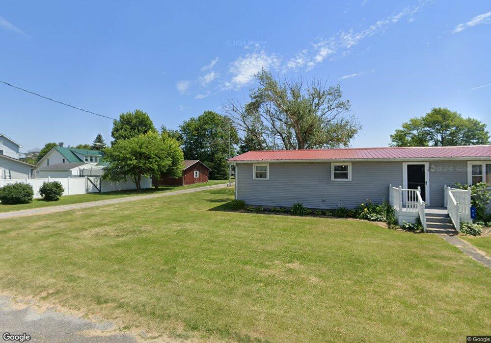
102 Union St Cygnet, OH 43413
Estimated Value: $77,000 - $97,619
3
Beds
1
Bath
2,266
Sq Ft
$37/Sq Ft
Est. Value
About This Home
This home is located at 102 Union St, Cygnet, OH 43413 and is currently estimated at $84,155, approximately $37 per square foot. 102 Union St is a home with nearby schools including Lakota Elementary School, Lakota Middle School, and Lakota High School.
Ownership History
Date
Name
Owned For
Owner Type
Purchase Details
Closed on
Mar 18, 2025
Sold by
Turner Robert E and Turner Beth A
Bought by
Heath Casey T and Heath Rebba R
Current Estimated Value
Purchase Details
Closed on
Oct 25, 2002
Sold by
Sieberg Steven R and Sieberg Deborah K
Bought by
Moser Donald W and Moser Susan K
Home Financials for this Owner
Home Financials are based on the most recent Mortgage that was taken out on this home.
Original Mortgage
$20,000
Interest Rate
6.18%
Purchase Details
Closed on
Aug 10, 1978
Bought by
Sieberg Steven R
Create a Home Valuation Report for This Property
The Home Valuation Report is an in-depth analysis detailing your home's value as well as a comparison with similar homes in the area
Purchase History
| Date | Buyer | Sale Price | Title Company |
|---|---|---|---|
| Heath Casey T | $75,000 | None Listed On Document | |
| Moser Donald W | $33,000 | Northwest Title Agency | |
| Sieberg Steven R | $19,000 | -- |
Source: Public Records
Mortgage History
| Date | Status | Borrower | Loan Amount |
|---|---|---|---|
| Closed | Moser Donald W | $20,000 | |
| Closed | Moser Donald W | $25,000 |
Source: Public Records
Tax History
| Year | Tax Paid | Tax Assessment Tax Assessment Total Assessment is a certain percentage of the fair market value that is determined by local assessors to be the total taxable value of land and additions on the property. | Land | Improvement |
|---|---|---|---|---|
| 2025 | $994 | $20,510 | $5,285 | $15,225 |
| 2024 | $1,070 | $20,510 | $5,285 | $15,225 |
| 2023 | $1,070 | $17,470 | $5,290 | $12,180 |
| 2021 | $553 | $5,120 | $2,910 | $2,210 |
| 2020 | $467 | $5,120 | $2,910 | $2,210 |
| 2019 | $526 | $4,840 | $2,910 | $1,930 |
| 2018 | $304 | $4,840 | $2,910 | $1,930 |
| 2017 | $1,251 | $4,840 | $2,910 | $1,930 |
| 2016 | $864 | $6,310 | $2,910 | $3,400 |
| 2015 | $864 | $6,310 | $2,910 | $3,400 |
| 2014 | $775 | $6,310 | $2,910 | $3,400 |
| 2013 | $829 | $6,310 | $2,910 | $3,400 |
Source: Public Records
Map
Nearby Homes
- 119 E Main St
- 1897 Bays Rd
- 7563 County Road 21
- 6540 County Road 1
- 6480 County Road 1
- 9943 Wayne Rd
- 145 W Bryant St
- 101 Gorrill Dr
- 0 Cygnet Rd
- 117 Maple St
- 3404 Gwilym Rd
- 1575 Bowling Green Rd E
- 4509 N US Highway 23
- N Township Rd 45
- 9389 Township Road 57
- 0 Plaza Dr
- 1324 N Union St
- 207 W Culbertson St
- 636 Woodward Ave
- 900 N Countyline St
Your Personal Tour Guide
Ask me questions while you tour the home.