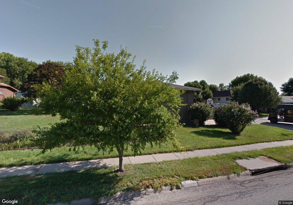
102 Upland Dr Council Bluffs, IA 51503
Sherwood NeighborhoodEstimated Value: $302,078 - $320,000
3
Beds
2
Baths
1,636
Sq Ft
$192/Sq Ft
Est. Value
About This Home
This home is located at 102 Upland Dr, Council Bluffs, IA 51503 and is currently estimated at $314,020, approximately $191 per square foot. 102 Upland Dr is a home located in Pottawattamie County with nearby schools including College View Elementary School, Gerald W. Kirn Middle School, and Abraham Lincoln High School.
Ownership History
Date
Name
Owned For
Owner Type
Purchase Details
Closed on
Aug 9, 2022
Sold by
Logan Scott M
Bought by
Farmer Leia E
Current Estimated Value
Home Financials for this Owner
Home Financials are based on the most recent Mortgage that was taken out on this home.
Original Mortgage
$209,250
Outstanding Balance
$200,054
Interest Rate
5.51%
Mortgage Type
New Conventional
Estimated Equity
$113,966
Purchase Details
Closed on
Feb 29, 2008
Sold by
Federal National Mortgage Association
Bought by
Logan Scott M
Home Financials for this Owner
Home Financials are based on the most recent Mortgage that was taken out on this home.
Original Mortgage
$99,900
Interest Rate
5.75%
Mortgage Type
Purchase Money Mortgage
Purchase Details
Closed on
May 2, 2005
Sold by
Schettler Donald L and Schettler Vera
Bought by
Nothstine Gregory N and Nothstine Sara E
Home Financials for this Owner
Home Financials are based on the most recent Mortgage that was taken out on this home.
Original Mortgage
$153,000
Interest Rate
6.13%
Mortgage Type
New Conventional
Create a Home Valuation Report for This Property
The Home Valuation Report is an in-depth analysis detailing your home's value as well as a comparison with similar homes in the area
Home Values in the Area
Average Home Value in this Area
Purchase History
| Date | Buyer | Sale Price | Title Company |
|---|---|---|---|
| Farmer Leia E | $279,000 | Fahey John P | |
| Logan Scott M | -- | None Available | |
| Nothstine Gregory N | $153,000 | Mrt |
Source: Public Records
Mortgage History
| Date | Status | Borrower | Loan Amount |
|---|---|---|---|
| Open | Farmer Leia E | $209,250 | |
| Previous Owner | Logan Scott M | $99,900 | |
| Previous Owner | Nothstine Gregory N | $153,000 |
Source: Public Records
Tax History Compared to Growth
Tax History
| Year | Tax Paid | Tax Assessment Tax Assessment Total Assessment is a certain percentage of the fair market value that is determined by local assessors to be the total taxable value of land and additions on the property. | Land | Improvement |
|---|---|---|---|---|
| 2025 | $5,316 | $291,200 | $42,900 | $248,300 |
| 2024 | $5,316 | $263,900 | $37,300 | $226,600 |
| 2023 | $5,262 | $263,900 | $37,300 | $226,600 |
| 2022 | $4,148 | $185,700 | $35,500 | $150,200 |
| 2021 | $6,359 | $185,700 | $35,500 | $150,200 |
| 2020 | $4,096 | $185,700 | $35,500 | $150,200 |
| 2019 | $4,246 | $173,700 | $30,600 | $143,100 |
| 2018 | $3,374 | $173,700 | $30,600 | $143,100 |
| 2017 | $3,416 | $142,500 | $27,605 | $114,895 |
| 2015 | $3,336 | $142,500 | $27,605 | $114,895 |
| 2014 | $3,340 | $142,500 | $27,605 | $114,895 |
Source: Public Records
Map
Nearby Homes
- 308 Arnold Ave
- 23 Wenwood Cir
- 69 Wenwood Cir
- 1426 Mcpherson Ave
- 37 Indian Hills Rd
- 206 Parkview Dr
- 305 Meadow Ln
- 176 Bennett Ave
- 180 Bennett Ave
- 16090 Crystal Ln
- 212 Woodcliff Cir
- 200 Timber Dr
- 2526 Franklin Ave
- 28 Cooper Ave
- 310 Wildwood Rd
- 208 Red Bud Ln
- 1893 Hemlock St
- 1877 Hemlock St
- 1835 Balsam St
- 1715 Blackthorn St