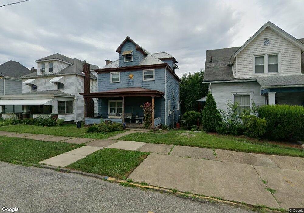
102 W Adams Ave Vandergrift, PA 15690
Estimated Value: $126,000 - $149,000
--
Bed
--
Bath
--
Sq Ft
2,962
Sq Ft Lot
About This Home
This home is located at 102 W Adams Ave, Vandergrift, PA 15690 and is currently estimated at $135,667. 102 W Adams Ave is a home located in Westmoreland County with nearby schools including Kiski Area High School.
Ownership History
Date
Name
Owned For
Owner Type
Purchase Details
Closed on
Mar 21, 2017
Sold by
Holt Ronald E
Bought by
Holt Ronald E and Holt Judith L
Current Estimated Value
Purchase Details
Closed on
Mar 6, 2004
Sold by
Bittinger Karen Sue and West Robert Paul
Bought by
Holt Ronald E
Home Financials for this Owner
Home Financials are based on the most recent Mortgage that was taken out on this home.
Original Mortgage
$54,150
Outstanding Balance
$25,272
Interest Rate
5.65%
Mortgage Type
FHA
Estimated Equity
$110,395
Create a Home Valuation Report for This Property
The Home Valuation Report is an in-depth analysis detailing your home's value as well as a comparison with similar homes in the area
Home Values in the Area
Average Home Value in this Area
Purchase History
| Date | Buyer | Sale Price | Title Company |
|---|---|---|---|
| Holt Ronald E | -- | None Available | |
| Holt Ronald E | $55,000 | -- |
Source: Public Records
Mortgage History
| Date | Status | Borrower | Loan Amount |
|---|---|---|---|
| Open | Holt Ronald E | $54,150 |
Source: Public Records
Tax History Compared to Growth
Tax History
| Year | Tax Paid | Tax Assessment Tax Assessment Total Assessment is a certain percentage of the fair market value that is determined by local assessors to be the total taxable value of land and additions on the property. | Land | Improvement |
|---|---|---|---|---|
| 2025 | $1,793 | $10,990 | $1,850 | $9,140 |
| 2024 | $1,708 | $10,990 | $1,850 | $9,140 |
| 2023 | $1,572 | $10,990 | $1,850 | $9,140 |
| 2022 | $1,540 | $10,990 | $1,850 | $9,140 |
| 2021 | $1,540 | $10,990 | $1,850 | $9,140 |
| 2020 | $1,536 | $10,990 | $1,850 | $9,140 |
| 2019 | $1,530 | $10,990 | $1,850 | $9,140 |
| 2018 | $1,508 | $10,990 | $1,850 | $9,140 |
| 2017 | $1,476 | $10,990 | $1,850 | $9,140 |
| 2016 | $1,456 | $10,990 | $1,850 | $9,140 |
| 2015 | $1,456 | $10,990 | $1,850 | $9,140 |
| 2014 | $1,449 | $10,990 | $1,850 | $9,140 |
Source: Public Records
Map
Nearby Homes
- 404 1/2 Franklin Ave
- 154 Jefferson Ave Unit 6
- 112 Farragut Ave Unit 3
- 107 Sumner Ave
- 311 Elm St
- 419 Vandergrift Ln
- 325 -1/2 Quay St
- 133 Sherman Ave
- 137 Sherman Ave
- 121 Hamilton Ave
- 315 Spruce St
- 314 Linden St
- 219 Quay St
- 608 Kennedy Ave
- 323 Sycamore St
- 716 Kennedy Ave
- 1252 Jefferson St
- 517 Sycamore St
- 129 Franklin Ave
- 410 Longfellow St
- 208 Hancock Ave
- 104 W Adams Ave
- 206 Hancock Ave
- 106 W Adams Ave
- 204 Hancock Ave
- 108 W Adams Ave
- 125 Custer Ave
- 127 Custer Ave
- 123 Custer Ave
- 101 W Adams Ave
- 129 Custer Ave
- 103 W Adams Ave
- 200 Hancock Ave Unit 202
- 105 W Adams Ave
- 131 Custer Ave
- 205 Hancock Ave
- 209 Hancock Ave
- 207 Hancock Ave
- 107 W Adams Ave
- 203 Hancock Ave