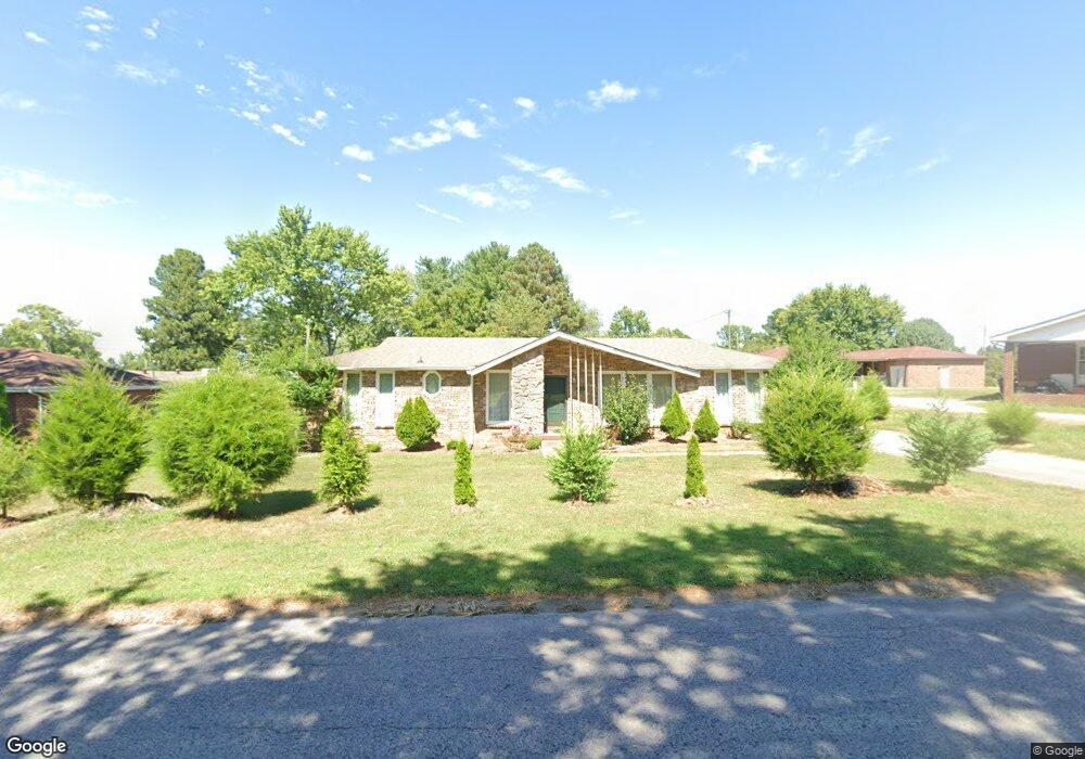
102 Westgate Dr Springfield, TN 37172
Estimated Value: $252,745 - $340,000
Studio
2
Baths
1,635
Sq Ft
$184/Sq Ft
Est. Value
About This Home
This home is located at 102 Westgate Dr, Springfield, TN 37172 and is currently estimated at $300,436, approximately $183 per square foot. 102 Westgate Dr is a home located in Robertson County with nearby schools including Coopertown Elementary School, Coopertown Middle School, and Springfield High School.
Ownership History
Date
Name
Owned For
Owner Type
Purchase Details
Closed on
Dec 30, 1999
Bought by
Chun-Sontay Justa A and Sontay Paula I
Current Estimated Value
Purchase Details
Closed on
Nov 6, 1996
Sold by
Newson Millie P
Bought by
Crawford Jeffrey and Crawford Deanna
Home Financials for this Owner
Home Financials are based on the most recent Mortgage that was taken out on this home.
Original Mortgage
$66,400
Interest Rate
8.02%
Purchase Details
Closed on
Jan 25, 1995
Bought by
Newson Millie P
Purchase Details
Closed on
May 27, 1986
Bought by
Hines Harold
Purchase Details
Closed on
Jan 1, 1980
Create a Home Valuation Report for This Property
The Home Valuation Report is an in-depth analysis detailing your home's value as well as a comparison with similar homes in the area
Home Values in the Area
Average Home Value in this Area
Purchase History
| Date | Buyer | Sale Price | Title Company |
|---|---|---|---|
| Chun-Sontay Justa A | $89,900 | -- | |
| Crawford Jeffrey | $69,900 | -- | |
| Newson Millie P | $64,900 | -- | |
| Hines Harold | -- | -- | |
| -- | $49,500 | -- |
Source: Public Records
Mortgage History
| Date | Status | Borrower | Loan Amount |
|---|---|---|---|
| Previous Owner | Not Available | $66,400 |
Source: Public Records
Tax History
| Year | Tax Paid | Tax Assessment Tax Assessment Total Assessment is a certain percentage of the fair market value that is determined by local assessors to be the total taxable value of land and additions on the property. | Land | Improvement |
|---|---|---|---|---|
| 2025 | -- | $57,125 | $13,750 | $43,375 |
| 2024 | -- | $57,125 | $13,750 | $43,375 |
| 2023 | $1,431 | $57,125 | $13,750 | $43,375 |
| 2022 | $1,164 | $31,925 | $6,200 | $25,725 |
| 2021 | $1,164 | $31,925 | $6,200 | $25,725 |
| 2020 | $1,164 | $31,925 | $6,200 | $25,725 |
| 2019 | $35,022 | $31,925 | $6,200 | $25,725 |
| 2018 | $1,164 | $31,925 | $6,200 | $25,725 |
| 2017 | $1,168 | $27,275 | $5,250 | $22,025 |
| 2016 | $1,168 | $27,275 | $5,250 | $22,025 |
| 2015 | $1,135 | $27,275 | $5,250 | $22,025 |
| 2014 | $1,135 | $27,275 | $5,250 | $22,025 |
Source: Public Records
Map
Nearby Homes
- 7373 New Chapel Rd
- 5148 Highway 49 W
- 244 Green Hills Dr
- 1137 Goose Dr
- 2060 Beverly Ct
- 1421 Lawrence Ln
- 2086 Beverly Ct
- 588 19th Ave W
- 2067 Bessie St
- 2130 Bessie St
- 1 Bessie St
- 0 Bessie St
- 213 21st Ave W
- 409 7th Ave W
- 610 5th Ave W
- 113 11th Ave W
- 702 Richard St
- 1205 S Main St
- 1112 Batts Blvd
- 5295 Matthews St
Your Personal Tour Guide
Ask me questions while you tour the home.