1020 Bailey Rd Newport, MN 55055
Estimated Value: $696,000 - $1,180,687
4
Beds
5
Baths
2,902
Sq Ft
$321/Sq Ft
Est. Value
About This Home
This home is located at 1020 Bailey Rd, Newport, MN 55055 and is currently estimated at $930,922, approximately $320 per square foot. 1020 Bailey Rd is a home located in Washington County with nearby schools including Newport Elementary School, Oltman Middle School, and East Ridge High School.
Ownership History
Date
Name
Owned For
Owner Type
Purchase Details
Closed on
Jun 14, 2022
Sold by
Carlson Harvey F and Carlson Jane K
Bought by
Daly Brian and Daly Tara
Current Estimated Value
Purchase Details
Closed on
Jul 25, 2019
Sold by
Tinucci Gregory M and Tinucci Lisa M
Bought by
Daly Brian and Daly Tara
Home Financials for this Owner
Home Financials are based on the most recent Mortgage that was taken out on this home.
Original Mortgage
$520,000
Interest Rate
3.8%
Mortgage Type
New Conventional
Create a Home Valuation Report for This Property
The Home Valuation Report is an in-depth analysis detailing your home's value as well as a comparison with similar homes in the area
Home Values in the Area
Average Home Value in this Area
Purchase History
| Date | Buyer | Sale Price | Title Company |
|---|---|---|---|
| Daly Brian | $35,000 | Stewart Title Company | |
| Daly Brian | $800,000 | Partners Title Llc |
Source: Public Records
Mortgage History
| Date | Status | Borrower | Loan Amount |
|---|---|---|---|
| Previous Owner | Daly Brian | $520,000 |
Source: Public Records
Tax History Compared to Growth
Tax History
| Year | Tax Paid | Tax Assessment Tax Assessment Total Assessment is a certain percentage of the fair market value that is determined by local assessors to be the total taxable value of land and additions on the property. | Land | Improvement |
|---|---|---|---|---|
| 2024 | $16,020 | $1,011,600 | $223,500 | $788,100 |
| 2023 | $16,020 | $1,034,300 | $238,500 | $795,800 |
| 2022 | $12,936 | $943,300 | $227,500 | $715,800 |
| 2021 | $9,346 | $775,600 | $188,600 | $587,000 |
| 2020 | $9,464 | $593,500 | $178,900 | $414,600 |
| 2019 | $9,192 | $590,800 | $165,400 | $425,400 |
| 2018 | $8,902 | $553,600 | $152,400 | $401,200 |
| 2017 | $8,618 | $532,100 | $144,500 | $387,600 |
| 2016 | $8,364 | $524,400 | $139,500 | $384,900 |
| 2015 | $7,964 | $488,600 | $139,500 | $349,100 |
| 2013 | -- | $489,600 | $128,500 | $361,100 |
Source: Public Records
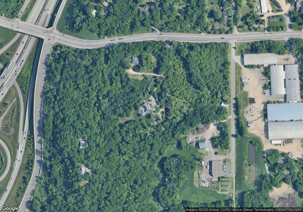
Map
Nearby Homes
- 2250 Larry Ln
- 15xx Burg Ave
- 1530 Burg Ave
- 1761 8th Ave
- 966 Maple Hill Rd
- 1012 Catherine Dr
- 1081 Oakwood Rd
- 1575 3rd Ave
- 2307 Carver Ave E
- 2685 Carver Ave E
- 2511 Carver Ave E
- 1523 Cedar Ln
- 2591 Carver Ave E
- 2210 Bonnie Ln
- 6640 Falstaff Rd
- 1147 Mary Place S
- 6287 Crackleberry Trail
- XXXX Sterling St S
- 6641 Crackleberry Ct
- 3487 York Dr
- 1010 Bailey Rd
- 1045 Bailey Rd
- 1002 Bailey Rd
- 1055 Bailey Rd
- 2815 Sterling St S
- 1005 Bailey Rd
- 2835 Sterling St S
- 2855 Sterling St S
- 2262 Larry Ln
- 2255 Larry Ln
- 2857 Sterling St S
- 2857 Sterling St S
- 139 Military Rd
- 139X Military Rd
- 1111 Ford Rd
- 2245 Larry Ln
- 2230 Larry Ln
- 1100 Ford Rd
- 2300 Hastings Ave Unit 1, 2 & 4
- 2300 Hastings Ave Unit 1-4