Estimated Value: $297,673 - $353,000
3
Beds
2
Baths
1,240
Sq Ft
$260/Sq Ft
Est. Value
About This Home
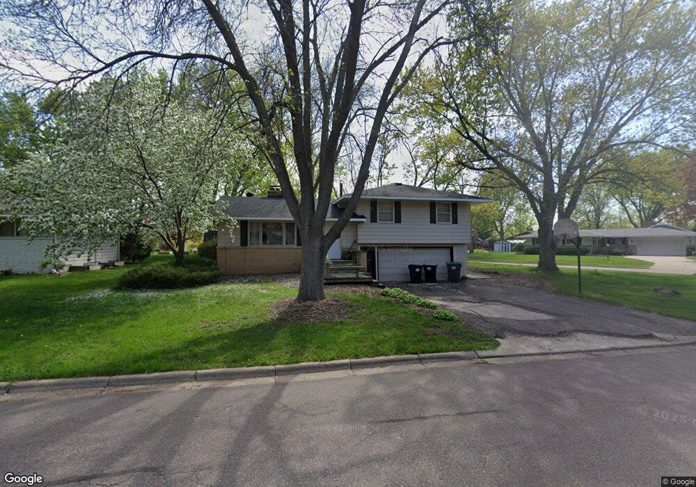
This home is located at 1020 Benton St, Anoka, MN 55303 and is currently estimated at $322,418, approximately $260 per square foot. 1020 Benton St is a home located in Anoka County with nearby schools including Franklin Elementary School, Anoka Middle School for the Arts - Fred Moor Campus, and Anoka Senior High School.
Ownership History
Date
Name
Owned For
Owner Type
Purchase Details
Closed on
Jan 18, 2013
Sold by
Sheils Linda S
Bought by
Sheils Kvin P
Current Estimated Value
Home Financials for this Owner
Home Financials are based on the most recent Mortgage that was taken out on this home.
Original Mortgage
$133,350
Outstanding Balance
$96,769
Interest Rate
4.33%
Mortgage Type
New Conventional
Estimated Equity
$225,649
Purchase Details
Closed on
Aug 31, 2001
Sold by
Tank David A and Tank Nancy R
Bought by
Sheils Kevin P and Sheils Linda S
Create a Home Valuation Report for This Property
The Home Valuation Report is an in-depth analysis detailing your home's value as well as a comparison with similar homes in the area
Home Values in the Area
Average Home Value in this Area
Purchase History
| Date | Buyer | Sale Price | Title Company |
|---|---|---|---|
| Sheils Kvin P | -- | None Available | |
| Sheils Kevin P | $169,500 | -- |
Source: Public Records
Mortgage History
| Date | Status | Borrower | Loan Amount |
|---|---|---|---|
| Open | Sheils Kvin P | $133,350 |
Source: Public Records
Tax History Compared to Growth
Tax History
| Year | Tax Paid | Tax Assessment Tax Assessment Total Assessment is a certain percentage of the fair market value that is determined by local assessors to be the total taxable value of land and additions on the property. | Land | Improvement |
|---|---|---|---|---|
| 2025 | $2,729 | $266,000 | $75,000 | $191,000 |
| 2024 | $2,729 | $266,600 | $75,000 | $191,600 |
| 2023 | $2,430 | $272,600 | $75,000 | $197,600 |
| 2022 | $2,263 | $267,200 | $58,000 | $209,200 |
| 2021 | $2,302 | $222,900 | $51,700 | $171,200 |
| 2020 | $2,260 | $221,100 | $58,000 | $163,100 |
| 2019 | $2,159 | $209,400 | $50,000 | $159,400 |
| 2018 | $2,117 | $196,300 | $0 | $0 |
| 2017 | $1,850 | $186,700 | $0 | $0 |
| 2016 | $1,892 | $163,300 | $0 | $0 |
| 2015 | -- | $163,300 | $52,000 | $111,300 |
| 2014 | -- | $135,000 | $37,000 | $98,000 |
Source: Public Records
Map
Nearby Homes
- 1032 Fremont St
- 1102 Benton St
- 1167 Benton St
- 251 Revere Ln N
- 706 Benton St
- 525 Western St
- 535 W River Pkwy
- 13480 Wellington Ct
- 504 Douglas St
- 2642 Yellowstone Blvd
- 13217 Union Terrace Ln N
- 13217 Valley Forge Ln N
- 13348 Linwood Forest Cir
- 2750 Euclid Ave
- 13451 Yorktown Ln N
- 11134 Balsam Pointe Trail
- 11117 Balsam Pointe Trail
- 13041 Union Terrace Ln N
- 11186 Balsam Pointe Trail
- 11205 Balsam Pointe Trail