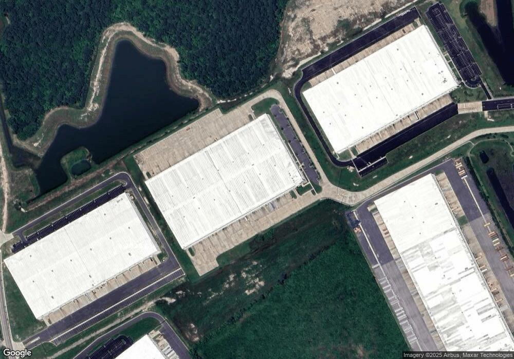
1020 Centerpoint Dr Suffolk, VA 23434
Holy Neck NeighborhoodEstimated Value: $43,412,536
--
Bed
--
Bath
400,910
Sq Ft
$108/Sq Ft
Est. Value
About This Home
This home is located at 1020 Centerpoint Dr, Suffolk, VA 23434 and is currently estimated at $43,412,536, approximately $108 per square foot. 1020 Centerpoint Dr is a home located in Suffolk City with nearby schools including Southwestern Elementary School, Forest Glen Middle School, and Lakeland High School.
Ownership History
Date
Name
Owned For
Owner Type
Purchase Details
Closed on
Apr 8, 2021
Sold by
Monroe 1020 Centerpoint Owner Llc
Bought by
Se Va Suffolk Property Owner Llc
Current Estimated Value
Purchase Details
Closed on
Jun 24, 2019
Sold by
Centerpoint Properties Trust
Bought by
Monroe 375 Kenyon Owner Llc and Monroe 1006 Centerpoint Owner Llc
Home Financials for this Owner
Home Financials are based on the most recent Mortgage that was taken out on this home.
Original Mortgage
$110,900,000
Interest Rate
4%
Mortgage Type
Credit Line Revolving
Create a Home Valuation Report for This Property
The Home Valuation Report is an in-depth analysis detailing your home's value as well as a comparison with similar homes in the area
Home Values in the Area
Average Home Value in this Area
Purchase History
| Date | Buyer | Sale Price | Title Company |
|---|---|---|---|
| Se Va Suffolk Property Owner Llc | $33,245,212 | Land Services Usa Inc | |
| Monroe 375 Kenyon Owner Llc | $119,000,000 | Attorney |
Source: Public Records
Mortgage History
| Date | Status | Borrower | Loan Amount |
|---|---|---|---|
| Previous Owner | Monroe 375 Kenyon Owner Llc | $110,900,000 |
Source: Public Records
Tax History Compared to Growth
Tax History
| Year | Tax Paid | Tax Assessment Tax Assessment Total Assessment is a certain percentage of the fair market value that is determined by local assessors to be the total taxable value of land and additions on the property. | Land | Improvement |
|---|---|---|---|---|
| 2024 | $451,585 | $48,463,600 | $2,538,000 | $45,925,600 |
| 2023 | $541,601 | $44,576,600 | $2,538,000 | $42,038,600 |
| 2022 | $194,511 | $17,845,000 | $2,538,000 | $15,307,000 |
| 2021 | $183,178 | $16,502,500 | $409,700 | $16,092,800 |
| 2020 | $174,455 | $15,716,700 | $409,700 | $15,307,000 |
| 2019 | $174,455 | $15,716,700 | $409,700 | $15,307,000 |
| 2018 | $172,205 | $15,798,600 | $409,700 | $15,388,900 |
| 2017 | $169,045 | $15,798,600 | $409,700 | $15,388,900 |
| 2016 | -- | $409,700 | $409,700 | $0 |
Source: Public Records
Map
Nearby Homes
- .51ac Holland Rd
- 113 Fairfield Ave
- 2028 Holland Rd
- 2022 Holland Rd
- 3805 Deer Path Rd
- 138 Beechwood Dr
- 212 Tracy Dr
- 216 Tracy Dr
- 3352 Deer Path Rd
- 3240 Holland Rd
- 3140 Deer Path Rd
- 1813 Mountainside Ave
- 3316 Holland Rd
- 3320 Holland Rd
- 103 Lake Front Dr
- 123 Lake Front Dr
- 1673 Faulk Rd
- 404 Great Oak Ct
- 205 Pond Dr
- 128 Deborah Dr
- 1010 Centerpoint Dr
- 2604 Holland Rd
- 1006 Centerpoint Dr
- 2600 Holland Rd
- 1050 Centerpoint Dr
- 2400 Holland Rd
- 3010 Enterprise Dr
- 2400 Holland Rd
- 2595 Holland Rd
- 2405 Holland Rd
- 105 Manning Bridge Rd
- 2401 Holland Rd
- 123 Raleigh Dr
- 2312 Holland Rd
- 1070 Centerpoint Dr
- 2317 Holland Rd
- 2313 Holland Rd
- 133 Raleigh Dr
- 2216 Holland Rd
- 2305 Holland Rd