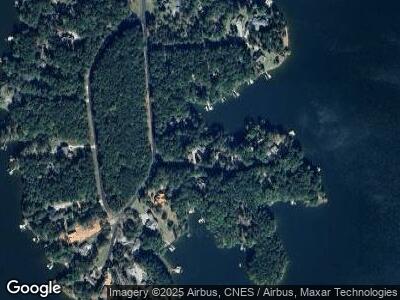
1020 Chieftain Way White Plains, GA 30678
Estimated Value: $1,209,546 - $1,750,000
--
Bed
5
Baths
1,830
Sq Ft
$743/Sq Ft
Est. Value
About This Home
This home is located at 1020 Chieftain Way, White Plains, GA 30678 and is currently estimated at $1,359,137, approximately $742 per square foot. 1020 Chieftain Way is a home located in Greene County with nearby schools including Greene County High School.
Ownership History
Date
Name
Owned For
Owner Type
Purchase Details
Closed on
Sep 24, 2003
Sold by
Anderson Dewey L and Anderson Frances
Bought by
Hill Brent E and Hill Mary Z
Current Estimated Value
Purchase Details
Closed on
Jan 1, 1986
Sold by
Lassiter Properties Inc
Bought by
Anderson Dewey L and Anderson Frances
Purchase Details
Closed on
Sep 6, 1983
Bought by
Lassiter Properties Inc
Create a Home Valuation Report for This Property
The Home Valuation Report is an in-depth analysis detailing your home's value as well as a comparison with similar homes in the area
Home Values in the Area
Average Home Value in this Area
Purchase History
| Date | Buyer | Sale Price | Title Company |
|---|---|---|---|
| Hill Brent E | $180,000 | -- | |
| Anderson Dewey L | -- | -- | |
| Lassiter Properties Inc | $300,000 | -- |
Source: Public Records
Mortgage History
| Date | Status | Borrower | Loan Amount |
|---|---|---|---|
| Open | Hill Brent E | $362,000 | |
| Closed | Hill Brent E | $394,500 | |
| Closed | Hill Brent E | $396,500 | |
| Closed | Hill Brent E | $413,500 | |
| Closed | Hill Brent E | $113,257 |
Source: Public Records
Tax History Compared to Growth
Tax History
| Year | Tax Paid | Tax Assessment Tax Assessment Total Assessment is a certain percentage of the fair market value that is determined by local assessors to be the total taxable value of land and additions on the property. | Land | Improvement |
|---|---|---|---|---|
| 2024 | $4,002 | $433,920 | $264,200 | $169,720 |
| 2023 | $3,719 | $428,240 | $264,200 | $164,040 |
| 2022 | $4,406 | $284,680 | $131,800 | $152,880 |
| 2021 | $4,702 | $252,320 | $116,480 | $135,840 |
| 2020 | $4,587 | $213,600 | $97,200 | $116,400 |
| 2019 | $4,716 | $213,600 | $97,200 | $116,400 |
| 2018 | $4,702 | $213,600 | $97,200 | $116,400 |
| 2017 | $4,358 | $211,352 | $97,200 | $114,152 |
| 2016 | $4,383 | $212,594 | $97,200 | $115,394 |
| 2015 | $4,370 | $212,594 | $97,200 | $115,394 |
| 2014 | $4,200 | $199,907 | $97,200 | $102,707 |
Source: Public Records
Map
Nearby Homes
- 1011 Lullwater Ct
- 1221 Emerald Shores Dr
- 1521 White Oak Dr
- 1041 Emerald Shores Dr
- 1271 Howard Lewis Rd
- 1889 Flat Rock Church Rd
- 1809 Flat Rock Church Rd
- 2205 Flat Rock Church Rd
- 2127 Flat Rock Church Rd
- 1307 Jumping Rock Dr
- 185,189,193 Winding River Rd
- 193 Long Island Dr
- 193 Winding River Rd
- 1461 Richland Pointe
- 127 Forest Ridge Dr
- 148 Rock Springs Rd
- 334 Long Shoals Rd