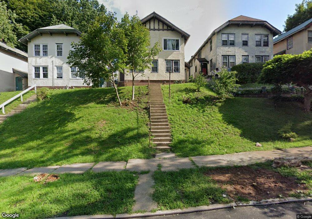
1020 Clay Ave Unit 1022 Scranton, PA 18510
Hill Section NeighborhoodEstimated Value: $82,351 - $187,000
Studio
--
Bath
--
Sq Ft
6,360
Sq Ft Lot
About This Home
This home is located at 1020 Clay Ave Unit 1022, Scranton, PA 18510 and is currently estimated at $123,088. 1020 Clay Ave Unit 1022 is a home located in Lackawanna County with nearby schools including William Prescott School, Northeast Scranton Intermediate School, and Scranton High School.
Ownership History
Date
Name
Owned For
Owner Type
Purchase Details
Closed on
Dec 31, 2021
Sold by
Patel Lakeshkumar A
Bought by
Kazinga Robert
Current Estimated Value
Home Financials for this Owner
Home Financials are based on the most recent Mortgage that was taken out on this home.
Original Mortgage
$48,000
Outstanding Balance
$44,238
Interest Rate
3.11%
Mortgage Type
Purchase Money Mortgage
Estimated Equity
$78,850
Purchase Details
Closed on
Dec 8, 2011
Sold by
Swinka Realty Investments Llc
Bought by
Patel Lakeshukmar A
Purchase Details
Closed on
May 5, 2011
Sold by
Gray Robert P
Bought by
Swinka Realty Investments Llc
Create a Home Valuation Report for This Property
The Home Valuation Report is an in-depth analysis detailing your home's value as well as a comparison with similar homes in the area
Home Values in the Area
Average Home Value in this Area
Purchase History
| Date | Buyer | Sale Price | Title Company |
|---|---|---|---|
| Kazinga Robert | $68,000 | None Listed On Document | |
| Patel Lakeshukmar A | $25,000 | None Available | |
| Swinka Realty Investments Llc | $20,000 | None Available |
Source: Public Records
Mortgage History
| Date | Status | Borrower | Loan Amount |
|---|---|---|---|
| Open | Kazinga Robert | $48,000 |
Source: Public Records
Tax History
| Year | Tax Paid | Tax Assessment Tax Assessment Total Assessment is a certain percentage of the fair market value that is determined by local assessors to be the total taxable value of land and additions on the property. | Land | Improvement |
|---|---|---|---|---|
| 2025 | $5,522 | $16,000 | $4,453 | $11,547 |
| 2024 | $5,072 | $16,000 | $4,453 | $11,547 |
| 2023 | $5,072 | $16,000 | $4,453 | $11,547 |
| 2022 | $4,961 | $16,000 | $4,453 | $11,547 |
| 2021 | $4,961 | $16,000 | $4,453 | $11,547 |
| 2020 | $4,875 | $16,000 | $4,453 | $11,547 |
| 2019 | $4,594 | $16,000 | $4,453 | $11,547 |
| 2018 | $4,594 | $16,000 | $4,453 | $11,547 |
| 2017 | $4,518 | $16,000 | $4,453 | $11,547 |
| 2016 | $0 | $16,000 | $4,453 | $11,547 |
| 2015 | $3,458 | $16,000 | $4,453 | $11,547 |
| 2014 | -- | $16,000 | $4,453 | $11,547 |
Source: Public Records
Map
Nearby Homes
- 1018 N Webster Ave
- 1028 N Webster Ave
- 1014 1016 Quincy Ave
- 1017 Quincy Ave
- 1042 Taylor Ave
- 917 Taylor Ave
- 825 827 Quincy Ave Unit 825-827
- 819 Poplar St
- 1406 Ash St
- 1017 Prescott Ave
- 1210 Monroe Ave
- 829 Monroe Ave
- 1050 Prescott Ave
- 929 Ridge Ave
- 802 Madison Ave
- 817 Madison Ave
- 627 S Blakely St
- 640 S 642 S Blakely St
- 1318 Pine St
- 900 Wheeler Ave
- 1024 Clay Ave Unit A
- 1024 Clay Ave Unit 1026
- 1016-1018 Clay Ave
- 1016 Clay Ave Unit 1018
- 1028 Clay Ave Unit B
- 1028 Clay Ave Unit 1030
- 1028 Clay Ave
- 1012 Clay Ave
- 1048 Clay Ave
- 638 Clay Ave
- 0 Clay Ave Unit GSB043474
- 0 Clay Ave Unit 11-b GSB013005
- 0 Clay Ave
- 1029 N Webster Ave
- 1000 Clay 3e Ave
- 1000 Clay Ave
- 1021 N Webster Ave Unit 1023
- 1025 N Webster Ave
- 1017 N Webster (Bottom Flr) Ave
- 1017 N Webster Ave Unit 1019
Your Personal Tour Guide
Ask me questions while you tour the home.