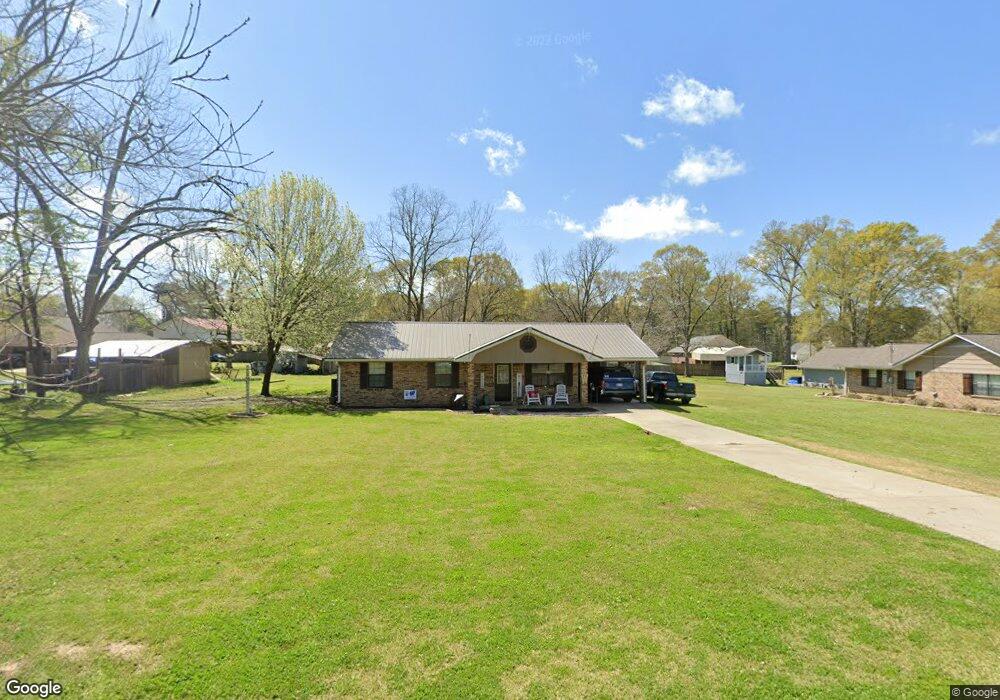
1020 Common St Wesson, MS 39191
Estimated Value: $138,048 - $201,000
3
Beds
2
Baths
1,560
Sq Ft
$106/Sq Ft
Est. Value
About This Home
This home is located at 1020 Common St, Wesson, MS 39191 and is currently estimated at $165,262, approximately $105 per square foot. 1020 Common St is a home located in Copiah County.
Ownership History
Date
Name
Owned For
Owner Type
Purchase Details
Closed on
Jan 31, 2011
Sold by
Oster Matthew L and Oster Mollie
Bought by
Smith Jennifer S
Current Estimated Value
Home Financials for this Owner
Home Financials are based on the most recent Mortgage that was taken out on this home.
Original Mortgage
$97,600
Outstanding Balance
$66,668
Interest Rate
4.82%
Mortgage Type
Purchase Money Mortgage
Estimated Equity
$98,594
Purchase Details
Closed on
Oct 12, 2007
Sold by
Beal Michael D and Beal Chasity R
Bought by
Oster Matthew L
Home Financials for this Owner
Home Financials are based on the most recent Mortgage that was taken out on this home.
Original Mortgage
$124,500
Interest Rate
6.26%
Mortgage Type
Purchase Money Mortgage
Create a Home Valuation Report for This Property
The Home Valuation Report is an in-depth analysis detailing your home's value as well as a comparison with similar homes in the area
Purchase History
| Date | Buyer | Sale Price | Title Company |
|---|---|---|---|
| Smith Jennifer S | -- | -- | |
| Oster Matthew L | -- | -- |
Source: Public Records
Mortgage History
| Date | Status | Borrower | Loan Amount |
|---|---|---|---|
| Open | Smith Jennifer S | $97,600 | |
| Previous Owner | Oster Matthew L | $124,500 |
Source: Public Records
Tax History
| Year | Tax Paid | Tax Assessment Tax Assessment Total Assessment is a certain percentage of the fair market value that is determined by local assessors to be the total taxable value of land and additions on the property. | Land | Improvement |
|---|---|---|---|---|
| 2025 | $868 | $9,236 | $0 | $0 |
| 2024 | $9 | $8,165 | $0 | $0 |
| 2023 | $879 | $8,165 | $0 | $0 |
| 2022 | $890 | $8,165 | $0 | $0 |
| 2021 | $861 | $8,165 | $0 | $0 |
| 2020 | $852 | $7,973 | $0 | $0 |
| 2019 | $864 | $7,973 | $0 | $0 |
| 2018 | $574 | $7,973 | $0 | $0 |
| 2017 | $551 | $7,973 | $0 | $0 |
| 2016 | $551 | $7,922 | $0 | $0 |
| 2015 | $567 | $7,922 | $0 | $0 |
| 2014 | $567 | $7,922 | $0 | $0 |
Source: Public Records
Map
Nearby Homes
- 1079 Beech St
- 0 Sawders Ln
- 1001 Lumley Ln
- 0 David Britt St
- 1119 Milltowne Dr
- 0 00 Milltowne Dr
- 0 Loom St
- 0 Milltownte Dr
- 596 Mount Zion Rd
- 589 Mount Zion Rd
- 594 Mount Zion Rd
- 2038 Rocky Hill Rd
- 0 Furrs Mill Dr NE
- 3066 New Sight Dr NE
- 2548 Furrs Mill Dr NE
- 3085 Beauregard Rd
- 4001 Stegall Rd
- 0 Anderson Rd
- 4069 Dixie Rd
- 0 Linwood Ln NE
Your Personal Tour Guide
Ask me questions while you tour the home.