Estimated Value: $84,565 - $115,000
Studio
1
Bath
924
Sq Ft
$115/Sq Ft
Est. Value
About This Home
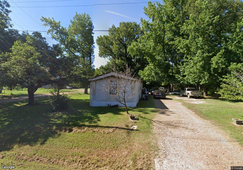
This home is located at 1020 Forrest Ave E, Wynne, AR 72396 and is currently estimated at $106,141, approximately $114 per square foot. 1020 Forrest Ave E is a home located in Cross County with nearby schools including Wynne Primary School, Wynne Intermediate School, and Wynne Junior High School.
Ownership History
Date
Name
Owned For
Owner Type
Purchase Details
Closed on
Aug 5, 2021
Sold by
Mitchell Brent A and Mitchell Alesha M
Bought by
Mitchell Hl and Mitchell Shelby
Current Estimated Value
Purchase Details
Closed on
Dec 15, 2016
Sold by
Mitchell Shelby B
Bought by
Mitchell Herbert and Mitchell Shelby B
Home Financials for this Owner
Home Financials are based on the most recent Mortgage that was taken out on this home.
Original Mortgage
$37,500
Outstanding Balance
$30,512
Interest Rate
3.94%
Estimated Equity
$75,629
Purchase Details
Closed on
Jul 12, 1999
Bought by
Mitchell Shelby B
Create a Home Valuation Report for This Property
The Home Valuation Report is an in-depth analysis detailing your home's value as well as a comparison with similar homes in the area
Purchase History
| Date | Buyer | Sale Price | Title Company |
|---|---|---|---|
| Mitchell Hl | -- | None Available | |
| Mitchell Herbert | -- | -- | |
| Mitchell Shelby B | $18,000 | -- |
Source: Public Records
Mortgage History
| Date | Status | Borrower | Loan Amount |
|---|---|---|---|
| Open | Mitchell Herbert | $37,500 |
Source: Public Records
Tax History
| Year | Tax Paid | Tax Assessment Tax Assessment Total Assessment is a certain percentage of the fair market value that is determined by local assessors to be the total taxable value of land and additions on the property. | Land | Improvement |
|---|---|---|---|---|
| 2025 | $566 | $16,470 | $2,490 | $13,980 |
| 2024 | $515 | $10,410 | $2,180 | $8,230 |
| 2023 | $515 | $10,410 | $2,180 | $8,230 |
| 2022 | $515 | $10,410 | $2,180 | $8,230 |
| 2021 | $515 | $10,410 | $2,180 | $8,230 |
| 2020 | $513 | $10,410 | $2,180 | $8,230 |
| 2019 | $466 | $9,420 | $1,970 | $7,450 |
| 2018 | $466 | $9,420 | $1,970 | $7,450 |
| 2017 | $466 | $9,420 | $1,970 | $7,450 |
| 2016 | $466 | $9,420 | $1,970 | $7,450 |
| 2015 | $466 | $9,420 | $1,970 | $7,450 |
| 2014 | $444 | $8,960 | $1,800 | $7,160 |
Source: Public Records
Map
Nearby Homes
- 109 Nathan Dr E
- 108 Nathan Dr E
- 621 Lemons St N
- 1106 Marion Dr
- 1112 Poplar Ave E
- 1203 Marion Dr
- 802 Poplar Ave E
- 1310 Forrest Ave E
- 909 Killough Rd N
- 8 Acres Arkansas 1
- 1009 Falls Blvd
- 1008 Killough Rd N
- 1420 Hamilton Ave E
- 810 Union Ave E
- 817 Harrell St N
- 903 Levesque Ave E
- 1308 Killough Rd N
- 1011 Hilltop Dr
- 1201 Peterson Dr
- 53 Cr 341
- 105 Nathan Dr E
- 1008 Forrest Ave E
- 1019 Forrest Ave E
- 1023 Forrest Ave E
- 1006 Forrest Ave E
- 1005 Forrest Ave E
- 1006 Forrest Ave W
- 1103 Forrest Ave E
- 1004 Forrest Ave E
- 1108 Forrest Ave E
- 209 Nathan Dr E
- 1003 Forrest Ave E
- 1107 Forrest Ave E
- 1014 Poplar Ave E
- 211 Nathan Dr E
- 802 Lemons St N
- 1112 Forrest Ave E
- 1018 Poplar Ave E
- 1111 Forrest Ave E
- 1001 Forrest Ave E
Your Personal Tour Guide
Ask me questions while you tour the home.