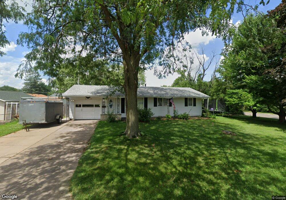
1020 Hawthorne Dr Bettendorf, IA 52722
Estimated Value: $153,000 - $181,000
3
Beds
3
Baths
960
Sq Ft
$176/Sq Ft
Est. Value
About This Home
This home is located at 1020 Hawthorne Dr, Bettendorf, IA 52722 and is currently estimated at $169,421, approximately $176 per square foot. 1020 Hawthorne Dr is a home located in Scott County with nearby schools including Grant Wood Elementary School, Bettendorf Middle School, and Bettendorf High School.
Ownership History
Date
Name
Owned For
Owner Type
Purchase Details
Closed on
Aug 24, 2015
Sold by
Leonard Thomas G and Leonard Cynthia M
Bought by
Cinnamyl Ladys Ventures Llc Series N
Current Estimated Value
Home Financials for this Owner
Home Financials are based on the most recent Mortgage that was taken out on this home.
Original Mortgage
$52,000
Outstanding Balance
$20,606
Interest Rate
4.04%
Mortgage Type
New Conventional
Estimated Equity
$148,815
Create a Home Valuation Report for This Property
The Home Valuation Report is an in-depth analysis detailing your home's value as well as a comparison with similar homes in the area
Home Values in the Area
Average Home Value in this Area
Purchase History
| Date | Buyer | Sale Price | Title Company |
|---|---|---|---|
| Cinnamyl Ladys Ventures Llc Series N | $55,000 | Attorney |
Source: Public Records
Mortgage History
| Date | Status | Borrower | Loan Amount |
|---|---|---|---|
| Open | Cinnamyl Ladys Ventures Llc Series N | $52,000 |
Source: Public Records
Tax History Compared to Growth
Tax History
| Year | Tax Paid | Tax Assessment Tax Assessment Total Assessment is a certain percentage of the fair market value that is determined by local assessors to be the total taxable value of land and additions on the property. | Land | Improvement |
|---|---|---|---|---|
| 2024 | $2,370 | $141,800 | $24,500 | $117,300 |
| 2023 | $2,260 | $141,800 | $24,500 | $117,300 |
| 2022 | $2,238 | $128,420 | $24,480 | $103,940 |
| 2021 | $2,238 | $128,420 | $24,480 | $103,940 |
| 2020 | $2,140 | $117,950 | $24,480 | $93,470 |
| 2019 | $2,136 | $114,350 | $24,480 | $89,870 |
| 2018 | $445 | $114,350 | $24,480 | $89,870 |
| 2017 | $636 | $114,350 | $24,480 | $89,870 |
| 2016 | $2,054 | $110,070 | $0 | $0 |
| 2015 | $2,054 | $106,030 | $0 | $0 |
| 2014 | $2,002 | $106,030 | $0 | $0 |
| 2013 | $1,960 | $0 | $0 | $0 |
| 2012 | -- | $107,040 | $29,200 | $77,840 |
Source: Public Records
Map
Nearby Homes
- 1101 Hawthorne Dr
- 2613 Magnolia Dr Unit 2
- 2704 Magnolia Dr
- 1002 Hillside Dr
- 908 Hillside Dr
- 2846 Magnolia Dr
- 2821 Hillside Ct
- 1 Oak Park Dr
- 1113 Summit Hills Dr
- 1244 Meadow Lane Dr
- 2930 Greenway Dr
- 1726 Skyline Dr
- 2023 Elmwood Ln
- 1723 Monterey Ct
- 1303 Fairlane Dr
- 1337 Golden Valley Dr
- 1504 Parklane Dr
- 1272 Golden Valley Dr
- 3010 Greenbrier Dr
- 1822 Sussex Ct
- 2406 Crestview Dr
- 1008 Hawthorne Dr
- 2417 Holly Dr
- 2356 Hawthorne Ct
- 2401 Crestview Dr
- 2412 Crestview Dr
- 1015 Hawthorne Dr
- 2423 Holly Dr
- 2407 Crestview Dr
- 1009 Hawthorne Dr
- 1036 Hawthorne Dr
- 2355 Hawthorne Ct
- 2418 Crestview Dr
- 1111 Crestview Ct
- 2429 Holly Dr
- 2352 Hawthorne Ct
- 925 Hawthorne Dr
- 916 Hawthorne Dr
- 1037 Hawthorne Dr
- 1100 Hawthorne Dr