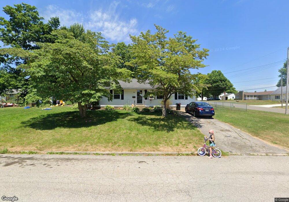
1020 Hoover Dr Ashland, OH 44805
Estimated Value: $181,253 - $240,000
3
Beds
1
Bath
1,434
Sq Ft
$152/Sq Ft
Est. Value
About This Home
This home is located at 1020 Hoover Dr, Ashland, OH 44805 and is currently estimated at $217,313, approximately $151 per square foot. 1020 Hoover Dr is a home located in Ashland County with nearby schools including Ashland High School, Ashland County Community Academy, and St. Edward Elementary School.
Ownership History
Date
Name
Owned For
Owner Type
Purchase Details
Closed on
Sep 21, 2018
Sold by
Walker Nancy A
Bought by
Walker Justin B
Current Estimated Value
Home Financials for this Owner
Home Financials are based on the most recent Mortgage that was taken out on this home.
Original Mortgage
$3,750
Interest Rate
4.7%
Mortgage Type
New Conventional
Purchase Details
Closed on
Apr 28, 1995
Bought by
Cuzzolini Ralph
Create a Home Valuation Report for This Property
The Home Valuation Report is an in-depth analysis detailing your home's value as well as a comparison with similar homes in the area
Home Values in the Area
Average Home Value in this Area
Purchase History
| Date | Buyer | Sale Price | Title Company |
|---|---|---|---|
| Walker Justin B | $75,000 | Terra Title Co | |
| Cuzzolini Ralph | -- | -- |
Source: Public Records
Mortgage History
| Date | Status | Borrower | Loan Amount |
|---|---|---|---|
| Previous Owner | Walker Justin B | $3,750 |
Source: Public Records
Tax History Compared to Growth
Tax History
| Year | Tax Paid | Tax Assessment Tax Assessment Total Assessment is a certain percentage of the fair market value that is determined by local assessors to be the total taxable value of land and additions on the property. | Land | Improvement |
|---|---|---|---|---|
| 2024 | $1,640 | $47,490 | $14,980 | $32,510 |
| 2023 | $1,640 | $47,490 | $14,980 | $32,510 |
| 2022 | $1,480 | $33,920 | $10,700 | $23,220 |
| 2021 | $1,486 | $33,920 | $10,700 | $23,220 |
| 2020 | $1,407 | $33,920 | $10,700 | $23,220 |
| 2019 | $1,321 | $29,480 | $10,120 | $19,360 |
| 2018 | $1,333 | $29,480 | $10,120 | $19,360 |
| 2017 | $1,338 | $29,480 | $10,120 | $19,360 |
| 2016 | $1,331 | $28,070 | $9,640 | $18,430 |
| 2015 | $1,319 | $28,070 | $9,640 | $18,430 |
| 2013 | $1,416 | $29,670 | $9,650 | $20,020 |
Source: Public Records
Map
Nearby Homes
- 453 Hillcrest Dr
- 1011 Eastern Ave
- 1109 Eastern Ave
- 0 Eagle Way
- 31 Morgan Ave
- 1435 Township Road 853
- 113 E Liberty St
- 408 Cleveland Ave
- 517 E 5th St
- 1457 Township Road 853
- 421 Center St
- 1446 Township Road 805
- 219 W Washington St
- 410 E 9th St
- 945 Virginia Ave
- 255 E 9th St
- 33 E 8th St
- 531 Keen Ave
- 827 Orange St
- 418 Sloan Ave
- 504 Sloan Ave
- 410 Sloan Ave
- 421 Steele Ave
- 1010 Hoover Dr
- 427 Sloan Ave
- 1009 Hoover Dr
- 413 Steele Ave
- 435 Sloan Ave
- 419 Sloan Ave
- 510 Sloan Ave Unit 512
- 402 Sloan Ave
- 503 Sloan Ave
- 411 Sloan Ave
- 405 Steele Ave
- 518 Sloan Ave Unit 520
- 513 Sloan Ave
- 405 Sloan Ave
- 518-520 Sloan Ave
- 340 Sloan Ave