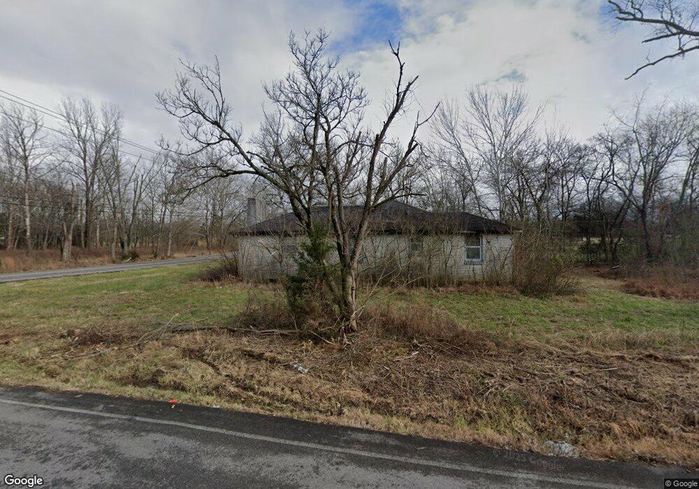
1020 Lohman Rd Mount Juliet, TN 37122
Estimated Value: $398,000 - $567,000
--
Bed
1
Bath
1,450
Sq Ft
$324/Sq Ft
Est. Value
About This Home
This home is located at 1020 Lohman Rd, Mount Juliet, TN 37122 and is currently estimated at $469,368, approximately $323 per square foot. 1020 Lohman Rd is a home located in Wilson County with nearby schools including Gladeville Elementary School, Gladeville Middle School, and Wilson Central High School.
Ownership History
Date
Name
Owned For
Owner Type
Purchase Details
Closed on
Nov 29, 2022
Sold by
Bragg Damond E and Bragg Karita A
Bought by
Garner Tangela Nicole and Garner Kimberly Duana
Current Estimated Value
Purchase Details
Closed on
Dec 30, 2020
Sold by
Garner Kimberly Duana
Bought by
Bragg Damond E and Bragg Karita A
Purchase Details
Closed on
Aug 11, 1978
Bought by
Major Clay and Major Martha
Purchase Details
Closed on
Mar 31, 1962
Purchase Details
Closed on
Nov 6, 1951
Create a Home Valuation Report for This Property
The Home Valuation Report is an in-depth analysis detailing your home's value as well as a comparison with similar homes in the area
Home Values in the Area
Average Home Value in this Area
Purchase History
| Date | Buyer | Sale Price | Title Company |
|---|---|---|---|
| Garner Tangela Nicole | -- | 1St Quality Title | |
| Bragg Damond E | $25,000 | Providence Title Llc | |
| Major Clay | -- | -- | |
| -- | -- | -- | |
| -- | -- | -- |
Source: Public Records
Tax History Compared to Growth
Tax History
| Year | Tax Paid | Tax Assessment Tax Assessment Total Assessment is a certain percentage of the fair market value that is determined by local assessors to be the total taxable value of land and additions on the property. | Land | Improvement |
|---|---|---|---|---|
| 2024 | $1,421 | $74,425 | $32,250 | $42,175 |
| 2022 | $1,649 | $86,375 | $44,200 | $42,175 |
| 2021 | $1,649 | $86,375 | $44,200 | $42,175 |
| 2020 | $1,515 | $86,375 | $44,200 | $42,175 |
| 2019 | $1,547 | $60,150 | $42,050 | $18,100 |
| 2018 | $1,547 | $61,400 | $42,050 | $19,350 |
| 2017 | $1,547 | $61,400 | $42,050 | $19,350 |
| 2016 | $1,547 | $61,400 | $42,050 | $19,350 |
| 2015 | $1,578 | $61,400 | $42,050 | $19,350 |
| 2014 | $1,083 | $42,151 | $0 | $0 |
Source: Public Records
Map
Nearby Homes
- 20 Friary Ct
- 665 Castle Rd
- 0 Lohman Rd
- 412 Butler Rd
- Rockwell Plan at Waltons Grove
- Newport Plan at Waltons Grove
- Sherwood Plan at Waltons Grove
- Johnson Plan at Waltons Grove
- Manchester Plan at Waltons Grove
- Alexander Plan at Waltons Grove
- 1316 Beasley Blvd
- 1318 Beasley Blvd
- 1320 Beasley Blvd
- 1322 Beasley Blvd
- 1324 Beasley Blvd
- 1317 Beasley Blvd
- 1328 Beasley Blvd
- 1319 Beasley Blvd
- 1330 Beasley Blvd
- 1321 Beasley Blvd
- 11100 Central Pike
- 11120 Central Pike
- 11138 Central Pike
- 11110 Central Pike
- 11136 Central Pike
- 906 Lohman Rd
- 10970 Central Pike
- 7278 Beckwith Rd
- 10920 Central Pike
- 10995 Central Pike
- 1901 McCalmont Way
- 10965 Central Pike
- 7252 Beckwith Rd
- 224 Friary Ct
- 1907 McCalmont Way
- 908 Lohman Rd
- 10940 Central Pike
- 1906 McCalmont Way
- 7174 Beckwith Rd
- 7251 Beckwith Rd