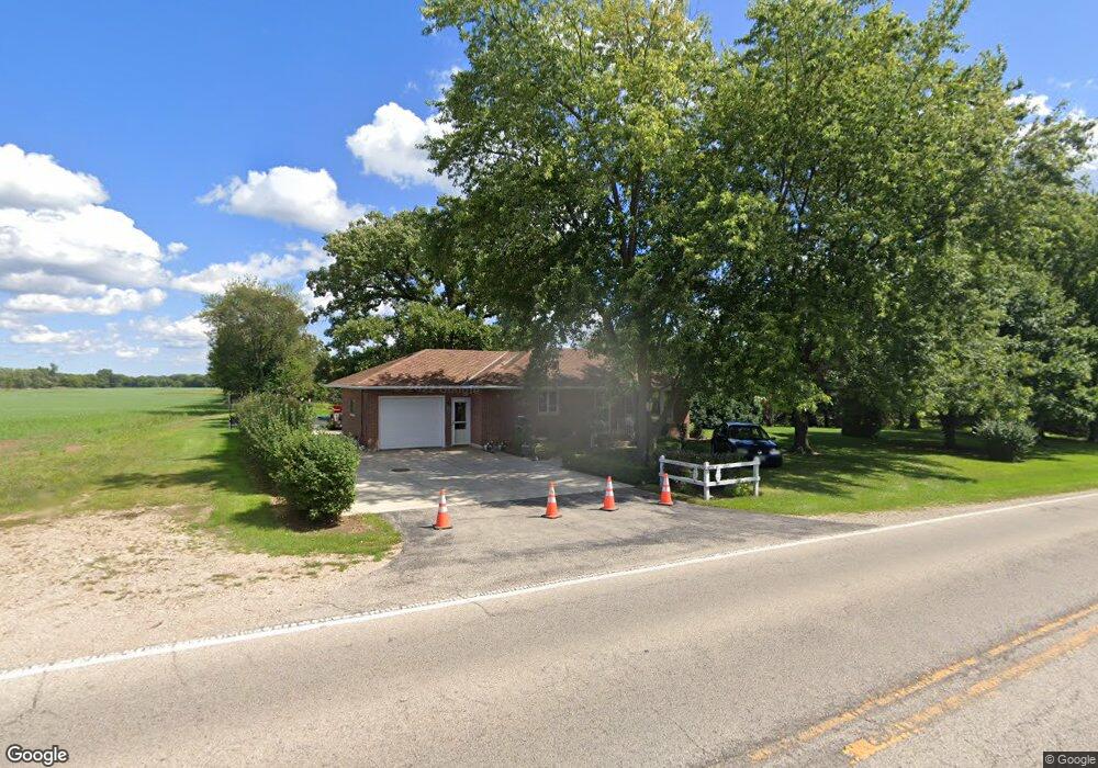
1020 N Curran Rd McHenry, IL 60050
Estimated Value: $272,000 - $369,000
--
Bed
--
Bath
967
Sq Ft
$331/Sq Ft
Est. Value
About This Home
This home is located at 1020 N Curran Rd, McHenry, IL 60050 and is currently estimated at $319,671, approximately $330 per square foot. 1020 N Curran Rd is a home located in McHenry County with nearby schools including Riverwood Elementary School, Parkland School, and McHenry Community High School - Upper Campus.
Ownership History
Date
Name
Owned For
Owner Type
Purchase Details
Closed on
Oct 25, 2002
Sold by
Kimball Hill Inc
Bought by
Kimball Hill Shamrock Farm Ltd Prtnrshp
Current Estimated Value
Home Financials for this Owner
Home Financials are based on the most recent Mortgage that was taken out on this home.
Original Mortgage
$20,201,000
Interest Rate
6.41%
Mortgage Type
Construction
Purchase Details
Closed on
Sep 4, 2002
Sold by
The Northern Trust Company
Bought by
Kimball Hill Inc
Home Financials for this Owner
Home Financials are based on the most recent Mortgage that was taken out on this home.
Original Mortgage
$20,201,000
Interest Rate
6.41%
Mortgage Type
Construction
Purchase Details
Closed on
Nov 23, 1996
Sold by
Ballwanz Sandra J and Hernandez Manuel
Bought by
Schottler Phillip L
Create a Home Valuation Report for This Property
The Home Valuation Report is an in-depth analysis detailing your home's value as well as a comparison with similar homes in the area
Home Values in the Area
Average Home Value in this Area
Purchase History
| Date | Buyer | Sale Price | Title Company |
|---|---|---|---|
| Kimball Hill Shamrock Farm Ltd Prtnrshp | -- | -- | |
| Kimball Hill Inc | $7,400,800 | 1St American Title | |
| Schottler Phillip L | $155,000 | Universal Title Services Inc |
Source: Public Records
Mortgage History
| Date | Status | Borrower | Loan Amount |
|---|---|---|---|
| Previous Owner | Kimball Hill Inc | $20,201,000 |
Source: Public Records
Tax History Compared to Growth
Tax History
| Year | Tax Paid | Tax Assessment Tax Assessment Total Assessment is a certain percentage of the fair market value that is determined by local assessors to be the total taxable value of land and additions on the property. | Land | Improvement |
|---|---|---|---|---|
| 2024 | $7,125 | $107,077 | $56,071 | $51,006 |
| 2023 | $6,797 | $95,930 | $50,234 | $45,696 |
| 2022 | $6,976 | $88,998 | $46,604 | $42,394 |
| 2021 | $6,597 | $82,881 | $43,401 | $39,480 |
| 2020 | $6,351 | $79,426 | $41,592 | $37,834 |
| 2019 | $6,219 | $75,421 | $39,495 | $35,926 |
| 2018 | $6,564 | $72,001 | $37,704 | $34,297 |
| 2017 | $6,260 | $67,575 | $35,386 | $32,189 |
| 2016 | $6,004 | $63,154 | $33,071 | $30,083 |
| 2013 | -- | $44,487 | $32,559 | $11,928 |
Source: Public Records
Map
Nearby Homes
- 1001 Draper Rd
- 1246 Draper Rd
- 1029 Draper Rd
- 1113 Draper Rd
- 1606 Tecumseh Dr
- 6407 Longford Dr
- 6411 Longford Dr
- 507 Legend Ln
- 509 Legend Ln Unit 224
- 615 Cartwright Trail
- 6805 Burning Tree Cir
- 7015 Burning Tree Cir
- 6409 Donegal Ln
- 5202 Winslow Cir Unit C
- 301 N Huntington Dr Unit 3
- 207 N Creekside Trail Unit B
- 5625 Chesapeake Dr Unit 5625
- 5101 W Elm St
- 205 Augusta Dr
- CLIFTON Plan at Stonewater - Single Family Ranch
- 1015 N Curran Rd
- 1008 N Curran Rd
- 1049 N Draper Rd Unit 43-1
- 1061 Carrick Ln
- 1057 Carrick Ln
- 1061 Carrick Ln Unit 43-4
- 1061 Carrick Ln Unit 18-4
- 1057 Carrick Ln Unit 43-3
- 1032 N Draper Rd
- 1053 Carrick Ln Unit 182
- 1053 Carrick Ln Unit 43-2
- 913 N Curran Rd
- 6107 Ojibwa Ln
- 1049 Carrick Ln
- 1049 Carrick Ln Unit 18-1
- 6213 Ojibwa Ln
- 1421 Draper Rd
- 1421 Draper Rd Unit 1421
- 1421 Draper Rd Unit 42-3
- 6217 Ojibwa Ln