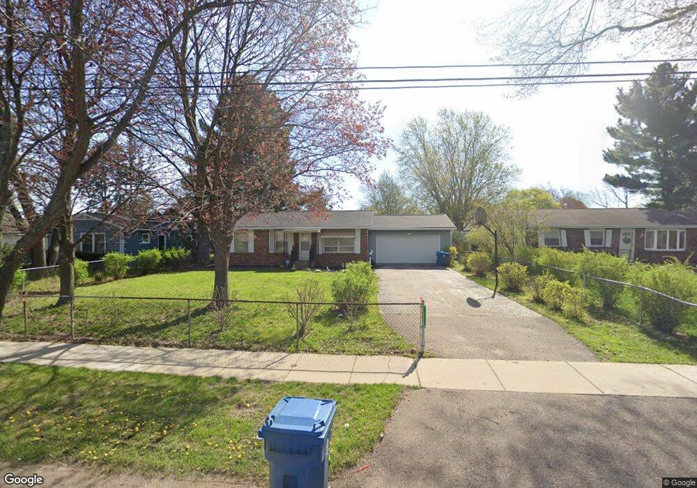
1020 N Drake Rd Kalamazoo, MI 49006
Westwood NeighborhoodEstimated Value: $182,000 - $253,000
3
Beds
1
Bath
1,083
Sq Ft
$207/Sq Ft
Est. Value
About This Home
This home is located at 1020 N Drake Rd, Kalamazoo, MI 49006 and is currently estimated at $224,073, approximately $206 per square foot. 1020 N Drake Rd is a home located in Kalamazoo County with nearby schools including King-Westwood Elementary School, Hillside Middle School, and Kalamazoo Central High School.
Ownership History
Date
Name
Owned For
Owner Type
Purchase Details
Closed on
Aug 23, 2004
Sold by
Robinson Margaret and Robinson Frank
Bought by
Robinson Margaret
Current Estimated Value
Purchase Details
Closed on
Dec 30, 2003
Sold by
Robinson Margaret
Bought by
Robinson Mark and Robinson Margaret
Home Financials for this Owner
Home Financials are based on the most recent Mortgage that was taken out on this home.
Original Mortgage
$124,450
Interest Rate
8.35%
Mortgage Type
Stand Alone Refi Refinance Of Original Loan
Create a Home Valuation Report for This Property
The Home Valuation Report is an in-depth analysis detailing your home's value as well as a comparison with similar homes in the area
Home Values in the Area
Average Home Value in this Area
Purchase History
| Date | Buyer | Sale Price | Title Company |
|---|---|---|---|
| Robinson Margaret | -- | First American Title Ins Co | |
| Robinson Mark | -- | H & H Title |
Source: Public Records
Mortgage History
| Date | Status | Borrower | Loan Amount |
|---|---|---|---|
| Closed | Robinson Mark | $124,450 |
Source: Public Records
Tax History Compared to Growth
Tax History
| Year | Tax Paid | Tax Assessment Tax Assessment Total Assessment is a certain percentage of the fair market value that is determined by local assessors to be the total taxable value of land and additions on the property. | Land | Improvement |
|---|---|---|---|---|
| 2025 | $3,206 | $93,000 | $0 | $0 |
| 2024 | $1,790 | $87,800 | $0 | $0 |
| 2023 | $1,706 | $76,200 | $0 | $0 |
| 2022 | $2,908 | $67,500 | $0 | $0 |
| 2021 | $2,811 | $64,700 | $0 | $0 |
| 2020 | $2,753 | $61,800 | $0 | $0 |
| 2019 | $2,625 | $56,800 | $0 | $0 |
| 2018 | $2,563 | $54,600 | $0 | $0 |
| 2017 | $2,586 | $54,900 | $0 | $0 |
| 2016 | $2,586 | $53,600 | $0 | $0 |
| 2015 | $2,586 | $51,300 | $0 | $0 |
| 2014 | $2,586 | $49,300 | $0 | $0 |
Source: Public Records
Map
Nearby Homes
- 4609 Croyden Ave
- 806 Northampton Rd
- 4021 Londonderry Ave
- 124 Merriweather Ln Unit 3
- 1361 Cherokee St
- 3503 Devonshire Ave
- 3421 Huron Ave
- 3317 Cranbrook Ave
- 3304 Cranbrook Ave
- 4164 Corvo Trace
- 1526 Mohawk St
- 1113 Nichols Rd
- 82 Mandalay Dr
- 1184 S Village Cir Unit 26
- 2205 Tamrack St
- 4135 Corvo Trace
- 1419 N Village Cir
- Silverton Plan at West Point Condominiums
- Ashford Plan at West Point Condominiums
- Parcel 1 S 3rd Street and West P Ave
- 1024 N Drake Rd
- 1012 N Drake Rd
- 1002 N Drake Rd
- 1021 Donnington Terrace
- 1013 Donnington Terrace
- 1031 Donnington Terrace
- 1031 Donnington Te
- 1021 Donnington Trc
- 928 N Drake Rd
- 1005 Donnington Terrace
- 925 Donnington Terrace
- 916 N Drake Rd
- 1004 Donnington Terrace
- 1014 Donnington Tc
- 1022 Donnington Te
- 1014 Donnington Terrace
- 1022 Donnington Terrace
- 1004 Donnington Tc
- 4611 Dunhill Terrace
- 904 N Drake Rd