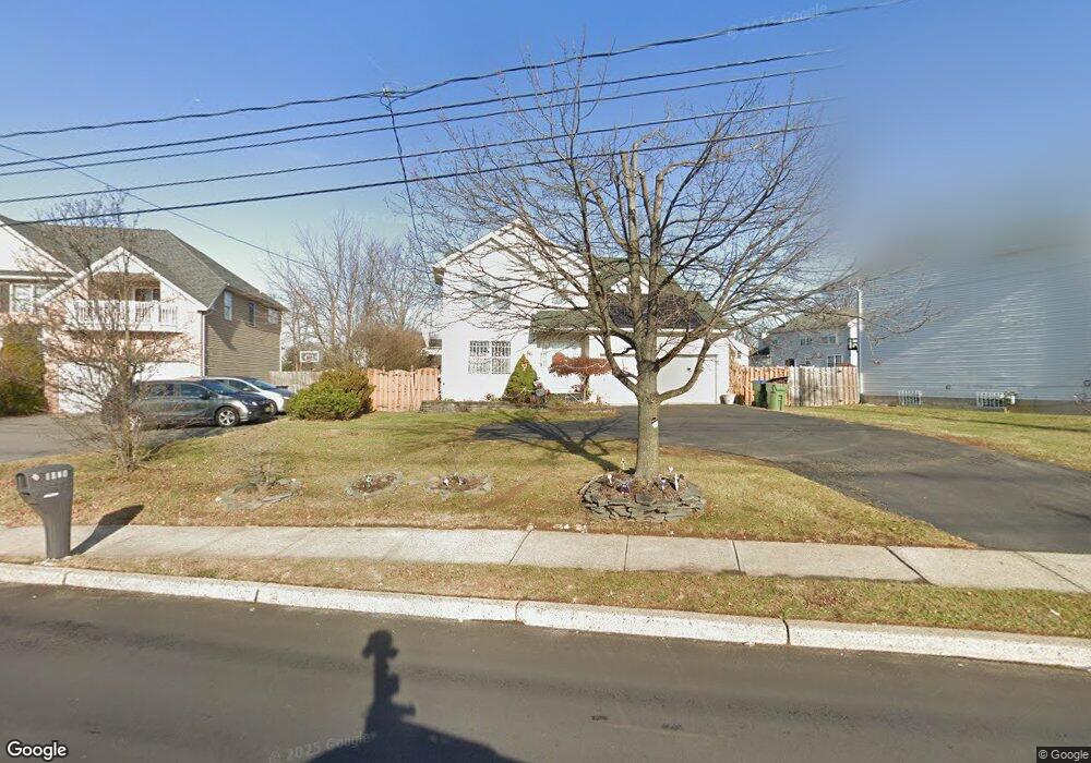
1020 New Durham Rd Edison, NJ 08817
Estimated Value: $722,045 - $884,000
3
Beds
3
Baths
1,888
Sq Ft
$422/Sq Ft
Est. Value
About This Home
This home is located at 1020 New Durham Rd, Edison, NJ 08817 and is currently estimated at $797,011, approximately $422 per square foot. 1020 New Durham Rd is a home located in Middlesex County with nearby schools including Lincoln Elementary School, Herbert Hoover Middle School, and Edison High School.
Ownership History
Date
Name
Owned For
Owner Type
Purchase Details
Closed on
Nov 21, 2011
Sold by
Das Shubhendu and Parija Sanghamitra
Bought by
Nayanappagarichenchu Ranjith Krish and Rasetty Raghavi Priya
Current Estimated Value
Home Financials for this Owner
Home Financials are based on the most recent Mortgage that was taken out on this home.
Original Mortgage
$394,250
Interest Rate
4.1%
Mortgage Type
Stand Alone First
Purchase Details
Closed on
Jul 19, 2000
Sold by
Bohn William
Bought by
Das Shubhendu and Parija Sanghamitra
Home Financials for this Owner
Home Financials are based on the most recent Mortgage that was taken out on this home.
Original Mortgage
$185,000
Interest Rate
8.18%
Purchase Details
Closed on
Jun 20, 1997
Sold by
Maco Catherine
Bought by
Austin Homes
Create a Home Valuation Report for This Property
The Home Valuation Report is an in-depth analysis detailing your home's value as well as a comparison with similar homes in the area
Home Values in the Area
Average Home Value in this Area
Purchase History
| Date | Buyer | Sale Price | Title Company |
|---|---|---|---|
| Nayanappagarichenchu Ranjith Krish | $415,000 | Fidelity Natl Title Ins Co | |
| Das Shubhendu | $240,000 | -- | |
| Austin Homes | $200,000 | -- |
Source: Public Records
Mortgage History
| Date | Status | Borrower | Loan Amount |
|---|---|---|---|
| Previous Owner | Nayanappagarichenchu Ranjith Krish | $394,250 | |
| Previous Owner | Das Shubhendu | $185,000 |
Source: Public Records
Tax History Compared to Growth
Tax History
| Year | Tax Paid | Tax Assessment Tax Assessment Total Assessment is a certain percentage of the fair market value that is determined by local assessors to be the total taxable value of land and additions on the property. | Land | Improvement |
|---|---|---|---|---|
| 2025 | $12,257 | $205,900 | $73,700 | $132,200 |
| 2024 | $12,191 | $205,900 | $73,700 | $132,200 |
| 2023 | $12,191 | $205,900 | $73,700 | $132,200 |
| 2022 | $12,195 | $205,900 | $73,700 | $132,200 |
| 2021 | $12,154 | $205,900 | $73,700 | $132,200 |
| 2020 | $12,043 | $205,900 | $73,700 | $132,200 |
| 2019 | $11,588 | $205,900 | $73,700 | $132,200 |
| 2018 | $11,308 | $205,900 | $73,700 | $132,200 |
| 2017 | $11,069 | $205,900 | $73,700 | $132,200 |
| 2016 | $10,863 | $205,900 | $73,700 | $132,200 |
| 2015 | $10,447 | $205,900 | $73,700 | $132,200 |
| 2014 | $10,143 | $205,900 | $73,700 | $132,200 |
Source: Public Records
Map
Nearby Homes
- 1409 Durham Ave
- 1317 Famularo Dr
- 58 Brotherhood St
- 74 Brotherhood St
- 1431 Waterford Dr
- 1234 Waterford Dr
- 513 Waterford Dr
- 323 Waterford Dr Unit 323
- 0-142&134 Ethel Rd
- 1237 Waterford Dr
- 1111 Joseph Ct
- 511 Coppola Dr
- 121 Waterford Dr
- 524 Coppola Dr
- 1010 Margaret Ct
- 1408 Joseph Ct
- 75 Kelly Dr
- 176 Nebula Rd
- 49 Campbell St
- 745 Strassle Way
- 1028 New Durham Rd
- 1014 New Durham Rd
- 102 New Brooklyn Rd
- 98 New Brooklyn Rd
- 122 Moretti Ln
- 94 New Brooklyn Rd
- 124 Moretti Ln
- 120 Moretti Ln
- 1025 New Durham Rd
- 126 Moretti Ln
- 118 Moretti Ln
- 1 Balzano Ct
- 4 Balzano Ct
- 123 Moretti Ln
- 1417 Durham Ave
- 110 New Brooklyn Rd
- 1035 New Durham Rd
- 116 Moretti Ln
- 3 Balzano Ct
- 6 Balzano Ct