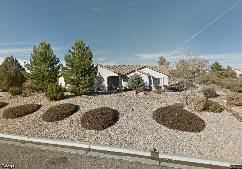
1020 Panicum Dr Prescott, AZ 86305
Estimated Value: $665,715 - $752,000
3
Beds
2
Baths
1,900
Sq Ft
$368/Sq Ft
Est. Value
About This Home
This home is located at 1020 Panicum Dr, Prescott, AZ 86305 and is currently estimated at $698,429, approximately $367 per square foot. 1020 Panicum Dr is a home located in Yavapai County with nearby schools including Granite Mountain Middle School, Abia Judd Elementary School, and Prescott Mile High Middle School.
Ownership History
Date
Name
Owned For
Owner Type
Purchase Details
Closed on
May 2, 2022
Sold by
Nodal Steve C
Bought by
Nodal Steve C and Cerro Robert E
Current Estimated Value
Home Financials for this Owner
Home Financials are based on the most recent Mortgage that was taken out on this home.
Original Mortgage
$150,000
Outstanding Balance
$124,638
Interest Rate
4.4%
Mortgage Type
New Conventional
Estimated Equity
$573,791
Purchase Details
Closed on
Sep 6, 2002
Sold by
Neal Klein Construction Corp
Bought by
Nodal Steve C and Cerro Robert E
Purchase Details
Closed on
Jun 28, 2001
Sold by
Chicago Title Insurance Company
Bought by
Neal Klein Development Inc
Home Financials for this Owner
Home Financials are based on the most recent Mortgage that was taken out on this home.
Original Mortgage
$40,964
Interest Rate
7.14%
Create a Home Valuation Report for This Property
The Home Valuation Report is an in-depth analysis detailing your home's value as well as a comparison with similar homes in the area
Home Values in the Area
Average Home Value in this Area
Purchase History
| Date | Buyer | Sale Price | Title Company |
|---|---|---|---|
| Nodal Steve C | -- | Stewart Title Guaranty Company | |
| Nodal Steve C | $204,740 | Chicago Title Insurance Co | |
| Neal Klein Development Inc | -- | Chicago Title Insurance Co |
Source: Public Records
Mortgage History
| Date | Status | Borrower | Loan Amount |
|---|---|---|---|
| Open | Nodal Steve C | $150,000 | |
| Previous Owner | Neal Klein Development Inc | $40,964 |
Source: Public Records
Tax History Compared to Growth
Tax History
| Year | Tax Paid | Tax Assessment Tax Assessment Total Assessment is a certain percentage of the fair market value that is determined by local assessors to be the total taxable value of land and additions on the property. | Land | Improvement |
|---|---|---|---|---|
| 2026 | $1,714 | $55,299 | -- | -- |
| 2024 | $1,677 | $55,648 | -- | -- |
| 2023 | $1,677 | $47,428 | $0 | $0 |
| 2022 | $1,654 | $36,540 | $6,952 | $29,588 |
| 2021 | $1,775 | $34,739 | $6,815 | $27,924 |
| 2020 | $1,783 | $0 | $0 | $0 |
| 2019 | $1,770 | $0 | $0 | $0 |
| 2018 | $1,691 | $0 | $0 | $0 |
| 2017 | $1,630 | $0 | $0 | $0 |
| 2016 | $1,623 | $0 | $0 | $0 |
| 2015 | $1,574 | $0 | $0 | $0 |
| 2014 | $1,570 | $0 | $0 | $0 |
Source: Public Records
Map
Nearby Homes
- 1033 Lupine Ln
- 5750 Columbine Rd
- 830 Panicum Dr
- 5730 Symphony Dr
- 790 Panicum Dr
- 5892 Honeysuckle Rd
- 5900 Willow Creek Rd
- 958 Grapevine Ln
- 5898 Symphony Dr
- 1504 Private Rd
- 1514 Private Rd
- 1520 Private Rd
- 1533 Private Rd
- 1534 Private Rd
- 1239 Cattle Trail Unit 56
- 1243 Cattle Trail
- 1531 Acklin Dr
- The Malibu Plan at South Ranch - Destination Collection
- The Coronado Plan at South Ranch - Destination Collection
- The Newport A Plan at South Ranch - Destination Collection
- 1002 Panicum Dr
- 1030 Panicum Dr
- 1015 Panicum Dr
- 1029 Panicum Dr
- 1001 Lupine Ln
- 1039 Lupine Ln
- 1003 Panicum Dr
- 1037 Panicum Dr
- 994 Panicum Dr
- 1038 Panicum Dr
- 1038 Panicum Dr Unit 3
- 997 Lupine Ln
- 5515 Snapdragon Ln
- 1043 Lupine Ln
- 1041 Panicum Dr
- 995 Panicum Dr
- 995 Panicum Dr Unit 3
- 5510 Snapdragon Ln
- 988 Panicum Dr
- 988 Panicum Dr Unit 3