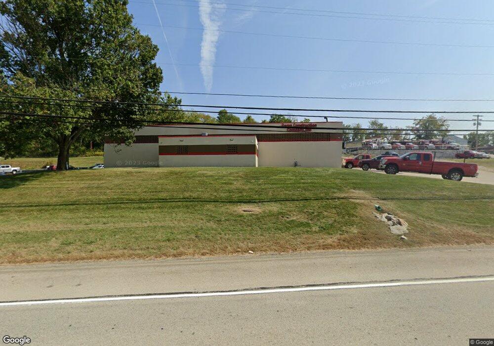
1020 Route 519 Eighty Four, PA 15330
Estimated Value: $1,032,933
Studio
--
Bath
--
Sq Ft
169,884
Sq Ft Lot
About This Home
This home is located at 1020 Route 519, Eighty Four, PA 15330 and is currently estimated at $1,032,933. 1020 Route 519 is a home located in Washington County with nearby schools including Canon-Mcmillan Senior High School.
Ownership History
Date
Name
Owned For
Owner Type
Purchase Details
Closed on
Jun 24, 2013
Sold by
Colussi Ex Bruno and Walsh Ex Eleanor
Bought by
Ramp Construction Co Inc
Current Estimated Value
Home Financials for this Owner
Home Financials are based on the most recent Mortgage that was taken out on this home.
Original Mortgage
$408,000
Outstanding Balance
$289,710
Interest Rate
3.45%
Mortgage Type
Commercial
Estimated Equity
$743,223
Create a Home Valuation Report for This Property
The Home Valuation Report is an in-depth analysis detailing your home's value as well as a comparison with similar homes in the area
Home Values in the Area
Average Home Value in this Area
Purchase History
| Date | Buyer | Sale Price | Title Company |
|---|---|---|---|
| Ramp Construction Co Inc | $530,000 | -- |
Source: Public Records
Mortgage History
| Date | Status | Borrower | Loan Amount |
|---|---|---|---|
| Open | Ramp Construction Co Inc | $408,000 |
Source: Public Records
Tax History
| Year | Tax Paid | Tax Assessment Tax Assessment Total Assessment is a certain percentage of the fair market value that is determined by local assessors to be the total taxable value of land and additions on the property. | Land | Improvement |
|---|---|---|---|---|
| 2025 | $8,955 | $508,500 | $225,400 | $283,100 |
| 2024 | $8,116 | $508,500 | $225,400 | $283,100 |
| 2023 | $8,116 | $508,500 | $225,400 | $283,100 |
| 2022 | $8,092 | $508,500 | $225,400 | $283,100 |
| 2021 | $8,092 | $508,500 | $225,400 | $283,100 |
| 2020 | $7,683 | $508,500 | $225,400 | $283,100 |
| 2019 | $7,557 | $508,500 | $225,400 | $283,100 |
| 2018 | $7,399 | $508,500 | $225,400 | $283,100 |
| 2017 | $1,436 | $508,500 | $225,400 | $283,100 |
| 2016 | $1,436 | $41,175 | $19,500 | $21,675 |
| 2015 | $4,858 | $41,175 | $19,500 | $21,675 |
| 2014 | $1,498 | $41,175 | $19,500 | $21,675 |
| 2013 | $1,498 | $41,175 | $19,500 | $21,675 |
Source: Public Records
Map
Nearby Homes
- 19 Old Monongahela Pike
- 190 Linnwood Rd
- 9 Rose St
- 226 Regency Dr
- 509 Kairy Ct
- 124 Dyersstone Dr
- LOT 8 Thomas Eighty Four Rd
- 1645 Route 519
- 0 Route 519 Unit 1728830
- 0 Route 519 Unit 1706095
- 22 Belen Hill Cir
- 22 Belen Cir
- 84 Beagle Club Rd
- Lot 355 & 356 Floral Hill Dr
- Lot 4A Sugar Run Rd
- Bieda Lot Davis School Rd
- 338 Quarry Rd
- 216 Kopper Kettle Rd
- 332 Red Bud Ln
- 231 Yellowwood Ct
- 1024 Pennsylvania 519
- 1024 Route 519
- 1032 Route 519
- 1019 Pennsylvania 519
- 948 Route 519
- 944 Pennsylvania 519
- 942 Pennsylvania 519
- 940 Pennsylvania 519
- 45 Timber Ln
- 1038 Route 519
- 54 Timber Ln
- 50 Timber Ln
- 1044 Route 519
- 1045 Pennsylvania 519
- 55 Timber Ln
- 684 Christy Rd
- 59 Timber Ln
- 1056 Route 519
- 1059 Pennsylvania 519
- 61 Timber Ln
Your Personal Tour Guide
Ask me questions while you tour the home.